Download
Preview
Add to list
More
11.9 km
~2 hrs 35 min
122 m
Loop
“Explore lush landscapes and historical landmarks on this 12 km, moderate-difficulty loop trail in Cheshire.”
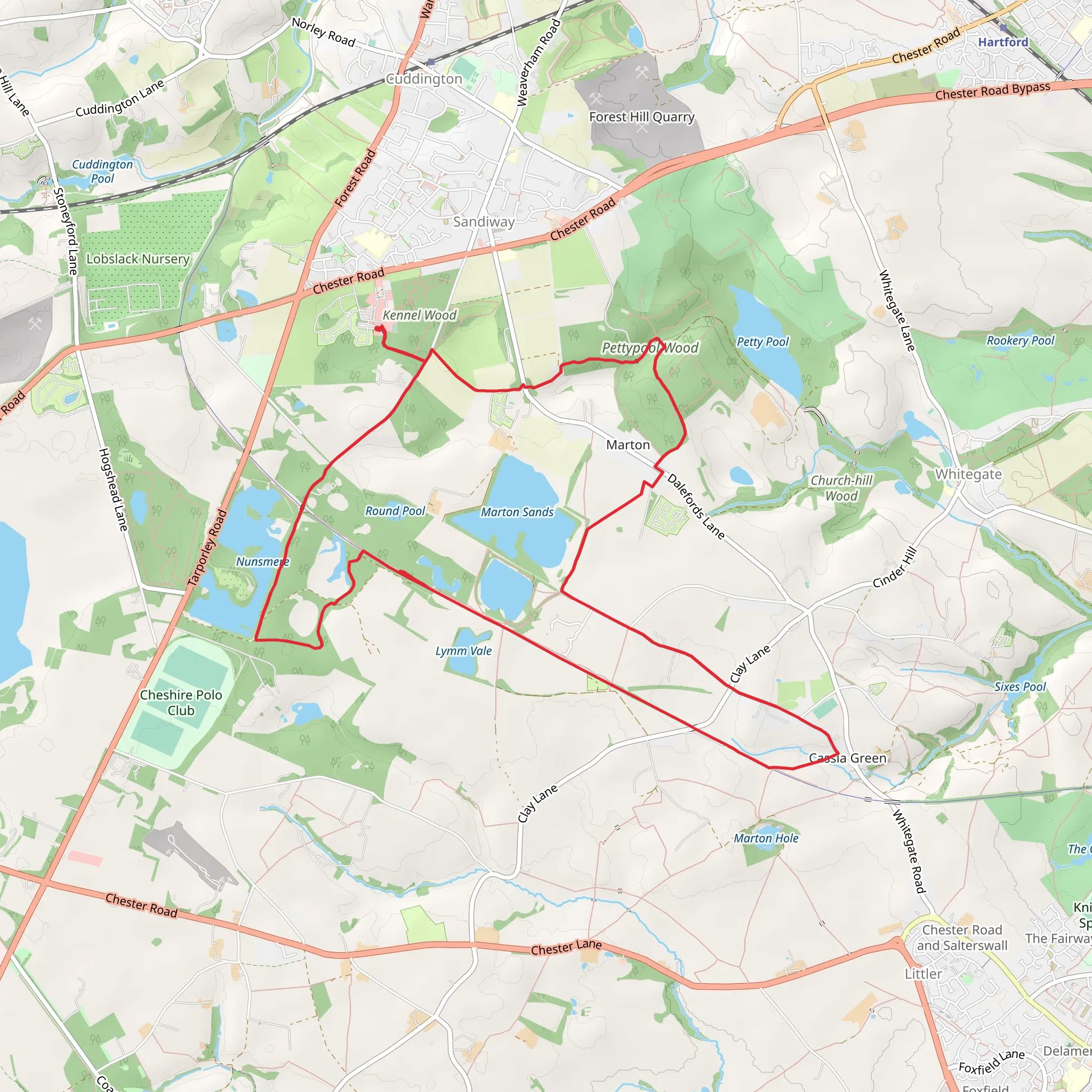
Starting near Cheshire West and Chester, England, this 12 km (7.5 miles) loop trail offers a delightful mix of natural beauty and historical intrigue. With an elevation gain of around 100 meters (328 feet), it is rated as a medium difficulty hike, making it accessible for most hikers with a moderate level of fitness.
Getting There To reach the trailhead, you can drive or use public transport. If driving, set your GPS to the nearest known address: Whitegate Way, Winsford, Cheshire CW7 2QE. There is ample parking available near the trailhead. For those using public transport, the nearest train station is Winsford, from where you can take a local bus or taxi to Whitegate Way.
Trail Overview The trail begins at Whitegate Way, a former railway line that has been converted into a scenic walking path. This section is relatively flat and easy, making it a good warm-up for the more challenging parts of the hike. As you walk along Whitegate Way, you'll notice the lush greenery and the occasional glimpse of local wildlife, including various bird species and small mammals.
Shemmy Moss Approximately 4 km (2.5 miles) into the hike, you'll reach Shemmy Moss, a beautiful area of wetland and heath. This section of the trail is slightly more challenging due to the uneven terrain and occasional muddy patches, especially after rain. The elevation gain here is minimal, but the varied landscape makes it an interesting part of the hike. Keep an eye out for rare plant species and the diverse birdlife that inhabit this unique ecosystem.
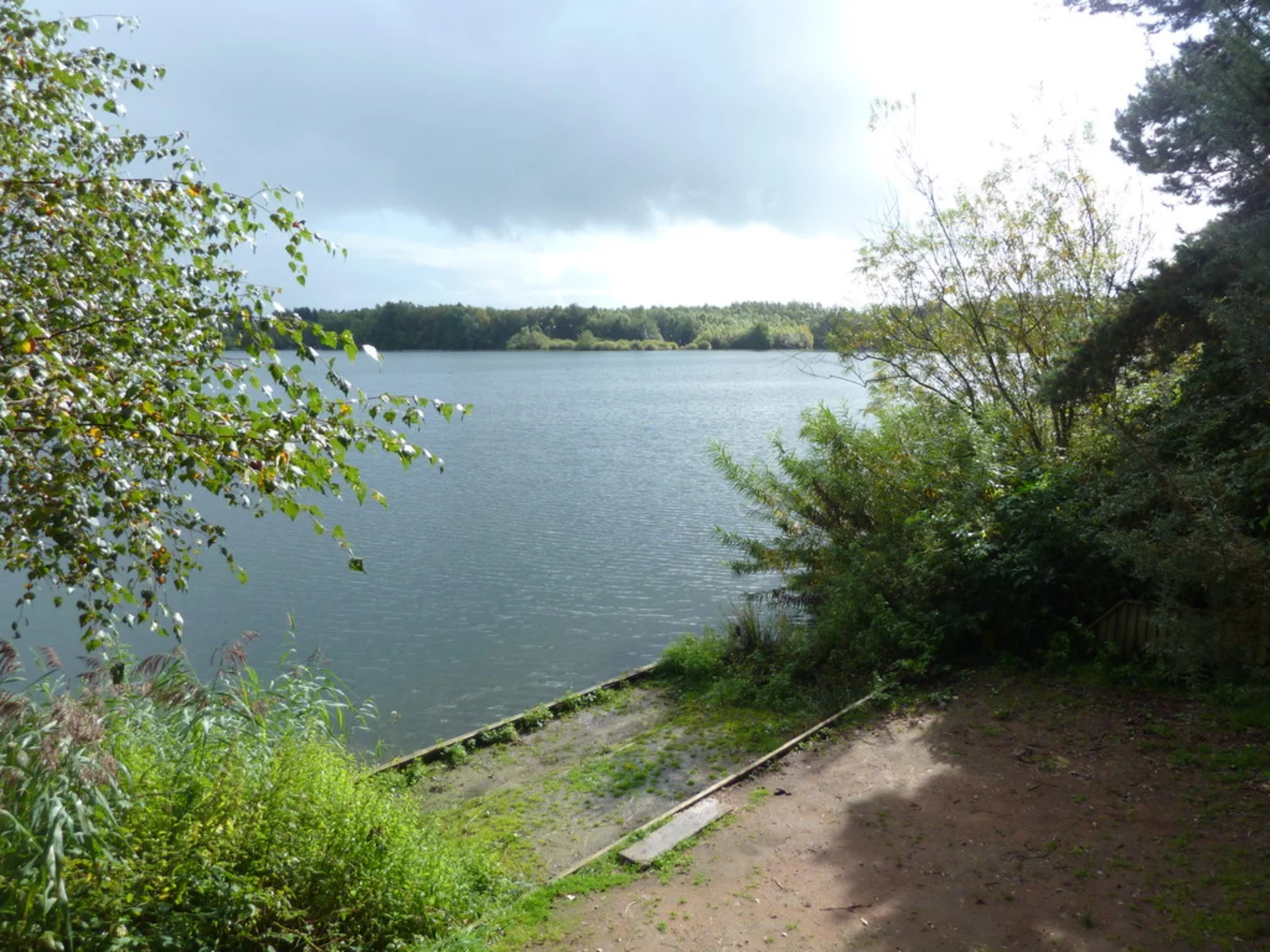
Marton Sands Continuing on, you'll arrive at Marton Sands around the 8 km (5 miles) mark. This area is known for its sandy soil and open spaces, offering a stark contrast to the dense greenery of Shemmy Moss. The trail here is relatively flat, but the sandy terrain can be a bit challenging to walk on. Marton Sands is a great spot to take a break and enjoy a picnic while soaking in the serene surroundings.
Historical Significance The region around Whitegate Way has a rich history. The trail itself follows the route of a disused railway line that was once a vital transport link for the local salt industry. As you hike, you'll come across remnants of this industrial past, including old railway bridges and platforms. These historical landmarks provide a fascinating glimpse into the area's industrial heritage.
Navigation and Safety For navigation, it is highly recommended to use the HiiKER app, which provides detailed maps and real-time updates. The trail is well-marked, but having a reliable navigation tool will ensure you stay on track and can fully enjoy the hike without any worries.
Wildlife and Flora The trail is home to a variety of wildlife and plant species. In the wetter areas of Shemmy Moss, you might spot amphibians like frogs and newts. The drier sections near Marton Sands are ideal for spotting butterflies and other insects. The diverse flora ranges from wetland plants in Shemmy Moss to hardy grasses and shrubs in Marton Sands.
Final Stretch The final stretch of the trail loops back towards Whitegate Way, bringing you full circle. This section is relatively easy, allowing you to cool down and reflect on the diverse landscapes and historical landmarks you've encountered along the way.
This 12 km loop offers a well-rounded hiking experience, combining natural beauty, historical significance, and a moderate physical challenge. Whether you're a seasoned hiker or a casual walker, this trail has something to offer everyone.
What to expect?
Activity types
Comments and Reviews
User comments, reviews and discussions about the Shemmy Moss and Marton Sands via Whitegate Way, England.
4.5
average rating out of 5
2 rating(s)

