Download
Preview
Add to list
More
4.9 km
~1 hrs 3 min
39 m
Out and Back
“Discover The Salt Line: a flat, 5 km trail blending history, nature, and accessibility for most hikers.”
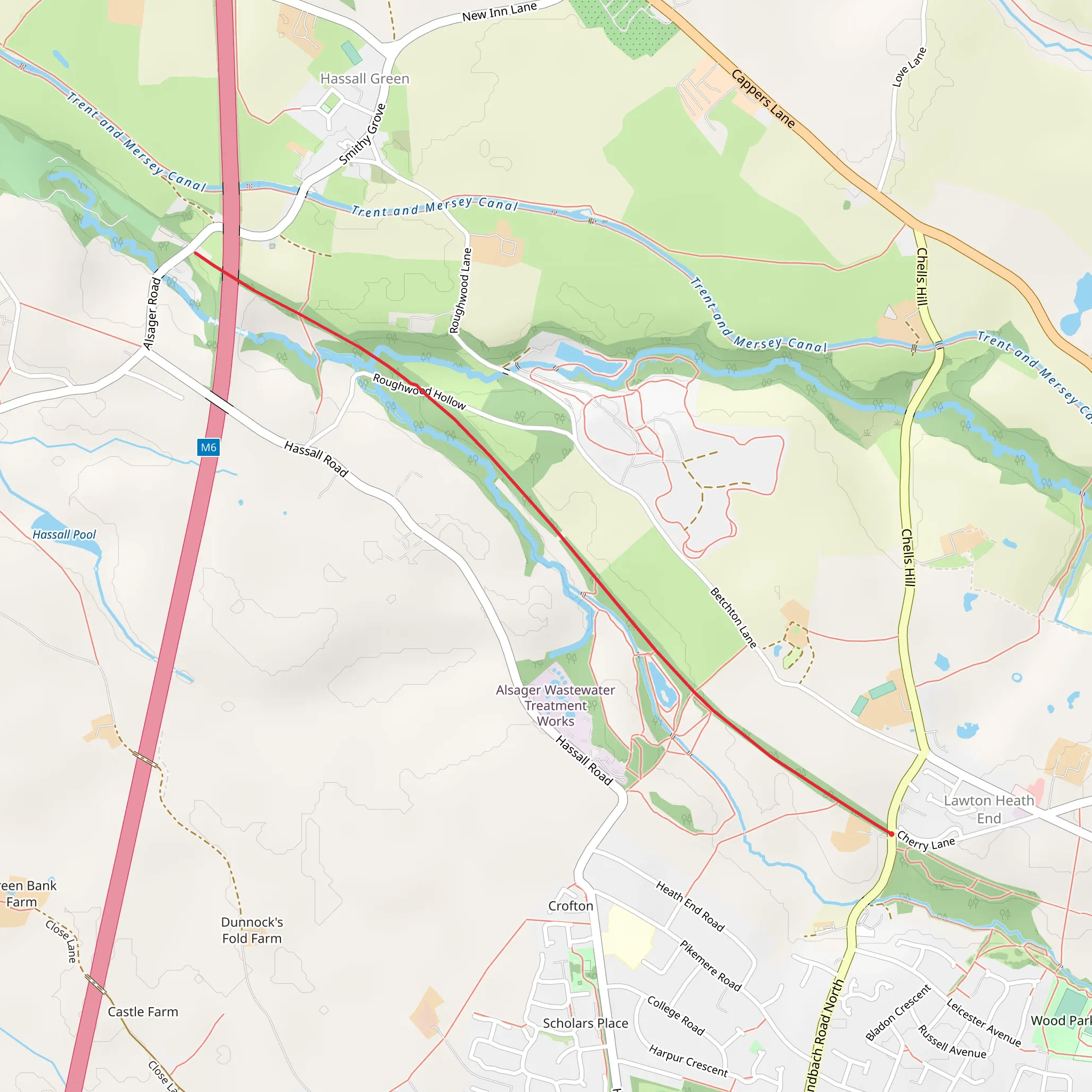
Starting near Cheshire East, England, The Salt Line is an inviting 5 km (approximately 3.1 miles) out-and-back trail with virtually no elevation gain, making it accessible for a wide range of hikers. The trailhead is conveniently located near the Alsager Railway Station, which is a significant landmark for those using public transport. If you're driving, you can park at the designated parking area near Hassall Road, Alsager.
Getting There For those opting for public transport, Alsager Railway Station is the nearest stop. From the station, it's a short walk to the trailhead. If you're driving, head towards Hassall Road in Alsager, where you'll find ample parking space.
Trail Overview The Salt Line follows the route of a former railway line, which gives it a unique, flat terrain. This makes it an excellent choice for a leisurely hike, suitable for families and those looking for a less strenuous outdoor activity. The trail is well-marked and maintained, ensuring an enjoyable experience for all.
Historical Significance The Salt Line has a rich history tied to the salt industry, which was a significant part of Cheshire's economy. The trail itself was once a railway line used to transport salt from the local mines. As you walk, you'll notice remnants of this industrial past, including old railway bridges and platforms.
Landmarks and Points of Interest - **Mossley Old Hall**: Approximately 1 km (0.6 miles) into the hike, you'll come across Mossley Old Hall, a historic building that dates back to the 17th century. It's a great spot to pause and take in some local history. - **Hassall Green Nature Reserve**: Around the 2 km (1.2 miles) mark, you'll enter the Hassall Green Nature Reserve. This area is rich in biodiversity, featuring a variety of bird species, wildflowers, and small mammals. It's an excellent spot for nature enthusiasts and bird watchers. - **Salt Line Bridge**: At about 3 km (1.9 miles), you'll encounter the Salt Line Bridge, an old railway bridge that offers a picturesque view of the surrounding countryside. This is a popular spot for photos, so have your camera ready.
Flora and Fauna The trail is lined with a mix of deciduous trees, including oak, ash, and beech. In the spring and summer months, the path is adorned with wildflowers such as bluebells and primroses. Bird watchers will be delighted to spot species like the great tit, chaffinch, and occasionally, the elusive kingfisher near the water bodies.
Navigation While the trail is straightforward, it's always a good idea to have a reliable navigation tool. HiiKER is an excellent app for this purpose, providing detailed maps and real-time updates to ensure you stay on track.
Amenities There are several benches along the trail where you can rest and enjoy the scenery. Near the trailhead, you'll find public restrooms and a small café where you can grab a snack or a hot drink before or after your hike.
Safety Tips - **Footwear**: Given the flat terrain, sturdy walking shoes should suffice. However, the path can get muddy after rain, so waterproof footwear is advisable. - **Weather**: Always check the weather forecast before heading out. The trail is exposed in some sections, so bring sun protection on sunny days and waterproof gear if rain is expected. - **Wildlife**: While the wildlife is generally harmless, it's always good practice to keep a respectful distance from any animals you encounter.
This trail offers a delightful mix of history, nature, and easy walking, making it a perfect choice for a day out in the Cheshire countryside.
What to expect?
Activity types
Comments and Reviews
User comments, reviews and discussions about the The Salt Line, England.
average rating out of 5
0 rating(s)

