Download
Preview
Add to list
More
7.2 km
~1 hrs 36 min
100 m
Loop
“Embark on the scenic 7 km Poynton Lake and Higher Poynton Loop, perfect for moderately fit hikers.”
Starting near Cheshire East, England, the Poynton Lake and Higher Poynton Loop is a delightful 7 km (approximately 4.3 miles) trail with an elevation gain of around 100 meters (328 feet). This loop trail offers a medium difficulty rating, making it suitable for hikers with a moderate level of fitness.
Getting There To reach the trailhead, you can drive or use public transport. If driving, you can park near Poynton Lake, which is accessible via the A523 road. For those using public transport, the nearest train station is Poynton Station, located about 1.5 km (0.9 miles) from the trailhead. From the station, you can walk or take a local bus to the starting point.
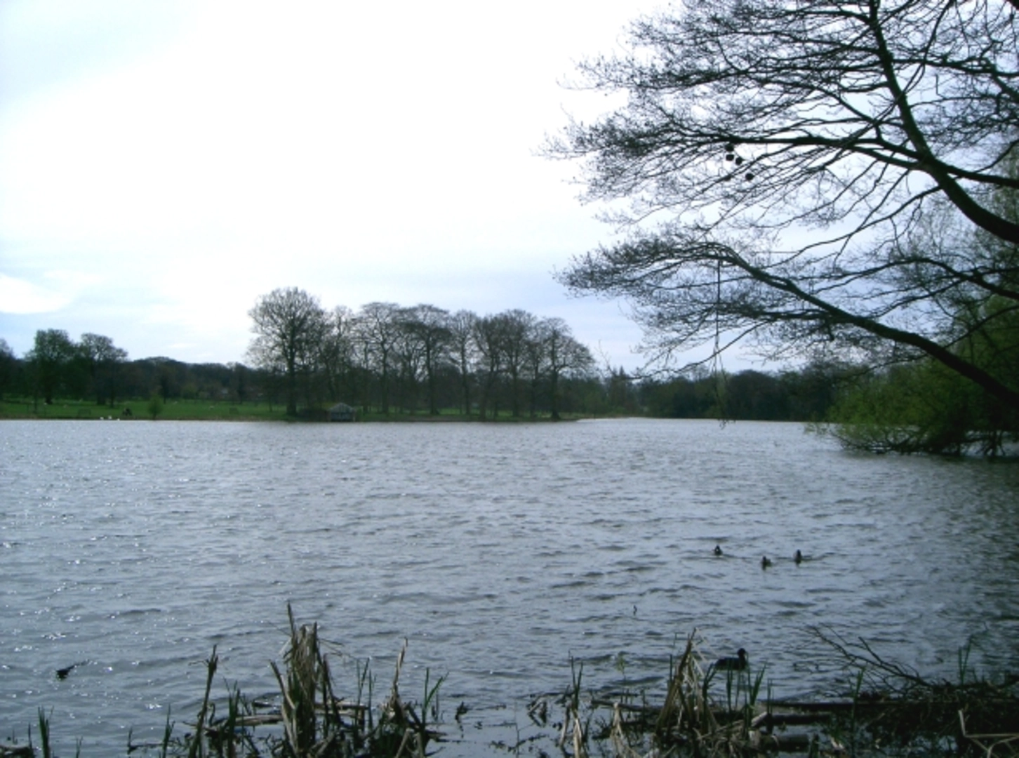
Trail Overview The trail begins near Poynton Lake, a serene body of water that offers a peaceful start to your hike. As you set off, you'll be greeted by the sight of waterfowl and other bird species that inhabit the lake. The path around the lake is well-maintained, making it easy to navigate.
Key Landmarks and Sections
#### Poynton Lake At approximately 1 km (0.6 miles) into the hike, you'll circle around Poynton Lake. This area is perfect for birdwatching, so bring your binoculars if you're a nature enthusiast. The lake is also a popular spot for local anglers.
#### Higher Poynton Continuing on, you'll head towards Higher Poynton. This section of the trail involves a gentle ascent, contributing to the overall elevation gain. At around 3 km (1.9 miles), you'll reach the highest point of the trail, offering panoramic views of the surrounding Cheshire countryside. This is an excellent spot for a short break and some photography.
#### Middlewood Way As you descend, you'll join the Middlewood Way, a former railway line that has been converted into a multi-use trail. This section is relatively flat and shaded, providing a pleasant contrast to the earlier ascent. The Middlewood Way is rich in history, having been part of the Macclesfield, Bollington and Marple Railway, which operated from 1869 to 1970.
Flora and Fauna The trail is abundant with diverse flora and fauna. Depending on the season, you might see bluebells, wild garlic, and various species of butterflies. The wooded areas are home to squirrels and occasionally deer, so keep your eyes peeled.
Navigation For navigation, it is highly recommended to use the HiiKER app, which provides detailed maps and real-time updates. This will ensure you stay on track and can fully enjoy the hike without worrying about getting lost.
Final Stretch The final stretch of the loop brings you back towards Poynton Lake. This part of the trail is relatively flat and easy, allowing you to cool down as you finish your hike. The loop concludes back at the starting point, where you can relax by the lake or explore the nearby amenities in Poynton.
This trail offers a mix of natural beauty, historical significance, and moderate physical challenge, making it a rewarding experience for hikers of all levels.

What to expect?
Activity types
Comments and Reviews
User comments, reviews and discussions about the Poynton Lake and Higher Poynton Loop, England.
5.0
average rating out of 5
6 rating(s)