Download
Preview
Add to list
More
9.4 km
~2 hrs 3 min
110 m
Loop
“The Congleton Loop is a scenic, medium-difficulty 9 km trail with historical landmarks and diverse wildlife.”
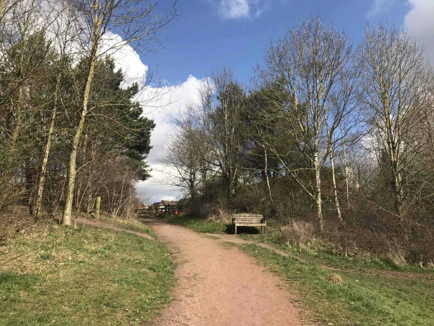
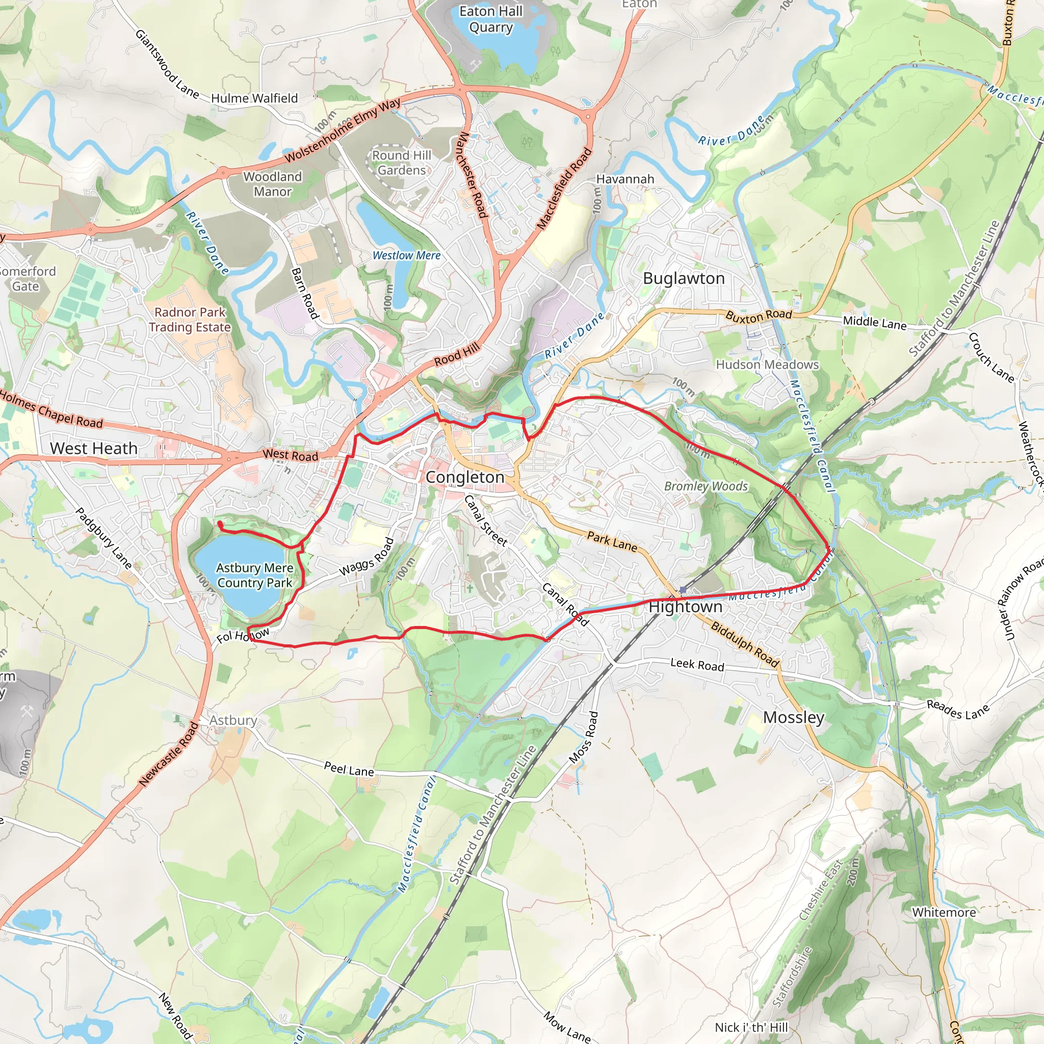
Starting near Cheshire East, England, the Congleton Loop is a delightful 9 km (approximately 5.6 miles) trail with an elevation gain of around 100 meters (328 feet). This loop trail is rated as medium difficulty, making it suitable for moderately experienced hikers.### Getting There To reach the trailhead, you can drive or use public transport. If driving, head towards Congleton in Cheshire East, and you can park near the Congleton Railway Station, which is a convenient starting point. For those using public transport, the Congleton Railway Station is well-connected, with regular services from Manchester and Stoke-on-Trent. From the station, it's a short walk to the beginning of the trail.### Trail Navigation For navigation, it's highly recommended to use HiiKER, which provides detailed maps and real-time updates to ensure you stay on track.### Trail Highlights and Landmarks The Congleton Loop offers a mix of scenic countryside, historical landmarks, and diverse wildlife. Starting from the Congleton Railway Station, the trail initially takes you through the charming town of Congleton. As you leave the urban area, you'll enter lush green fields and woodlands.#### Dane-in-Shaw Pasture Around 2 km (1.2 miles) into the hike, you'll come across Dane-in-Shaw Pasture, a designated Site of Special Scientific Interest (SSSI). This area is known for its rich biodiversity, including various species of wildflowers and butterflies. It's a great spot for nature enthusiasts to take a break and enjoy the surroundings.#### Congleton Edge Continuing on, at approximately 4 km (2.5 miles), you'll reach Congleton Edge. This section offers panoramic views of the Cheshire Plain and the Peak District in the distance. The elevation gain here is gentle but provides a rewarding vantage point for photographers and sightseers.#### Historical Significance As you hike further, you'll encounter remnants of Congleton's historical past. The town has a rich history dating back to the Roman era, and you might spot old stone walls and ancient pathways that have been used for centuries. The area was also known for its textile industry during the Industrial Revolution, and you may see old mill buildings and waterways that were once integral to the town's economy.### Wildlife and Flora The Congleton Loop is home to a variety of wildlife. Keep an eye out for deer, foxes, and a plethora of bird species, including kestrels and owls. The flora is equally impressive, with oak, beech, and birch trees lining the path, especially as you traverse through the woodlands.### Final Stretch As you near the end of the loop, around the 8 km (5 miles) mark, you'll pass through Astbury Mere Country Park. This park features a beautiful lake and is a popular spot for picnics and leisurely walks. The final kilometer will lead you back towards Congleton Railway Station, completing the loop.### Preparation Tips Given the medium difficulty rating, ensure you wear sturdy hiking boots and bring sufficient water and snacks. The trail can be muddy in parts, especially after rain, so waterproof clothing is advisable. Always check the weather forecast before setting out and use HiiKER for the most accurate trail information.The Congleton Loop offers a perfect blend of natural beauty, historical intrigue, and moderate physical challenge, making it a rewarding hike for those looking to explore the Cheshire countryside.
What to expect?
Activity types
Comments and Reviews
User comments, reviews and discussions about the Congleton Loop, England.
4.5
average rating out of 5
4 rating(s)

