Download
Preview
Add to list
More
10.5 km
~2 hrs 38 min
325 m
Loop
“Embark on the Bosley Reservoir trail for serene landscapes, historical landmarks, and abundant wildlife.”
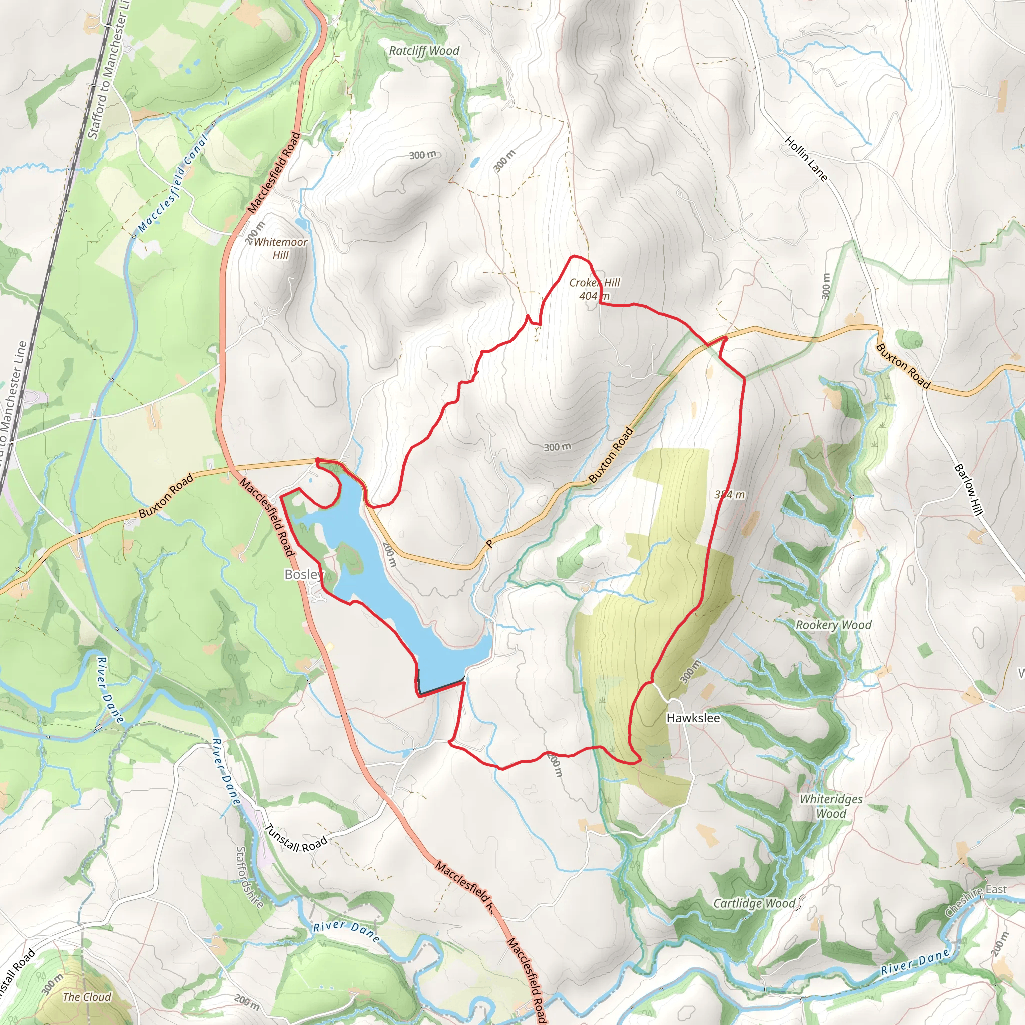
Starting your hike near Cheshire East, England, the Bosley Reservoir trail offers a delightful 11 km (approximately 6.8 miles) loop with an elevation gain of around 300 meters (984 feet). This medium-difficulty trail provides a mix of serene landscapes, historical landmarks, and opportunities to spot local wildlife.
Getting There To reach the trailhead, you can drive or use public transport. If driving, set your GPS to Bosley Reservoir, located near the village of Bosley in Cheshire East. For those using public transport, the nearest significant landmark is Macclesfield Railway Station. From there, you can take a local bus or taxi to the trailhead.
Trail Overview The trail begins near the reservoir, offering immediate views of the tranquil waters. As you start your hike, you'll notice the path is well-marked and maintained, making navigation straightforward. For added assurance, consider using the HiiKER app to keep track of your progress and ensure you stay on course.
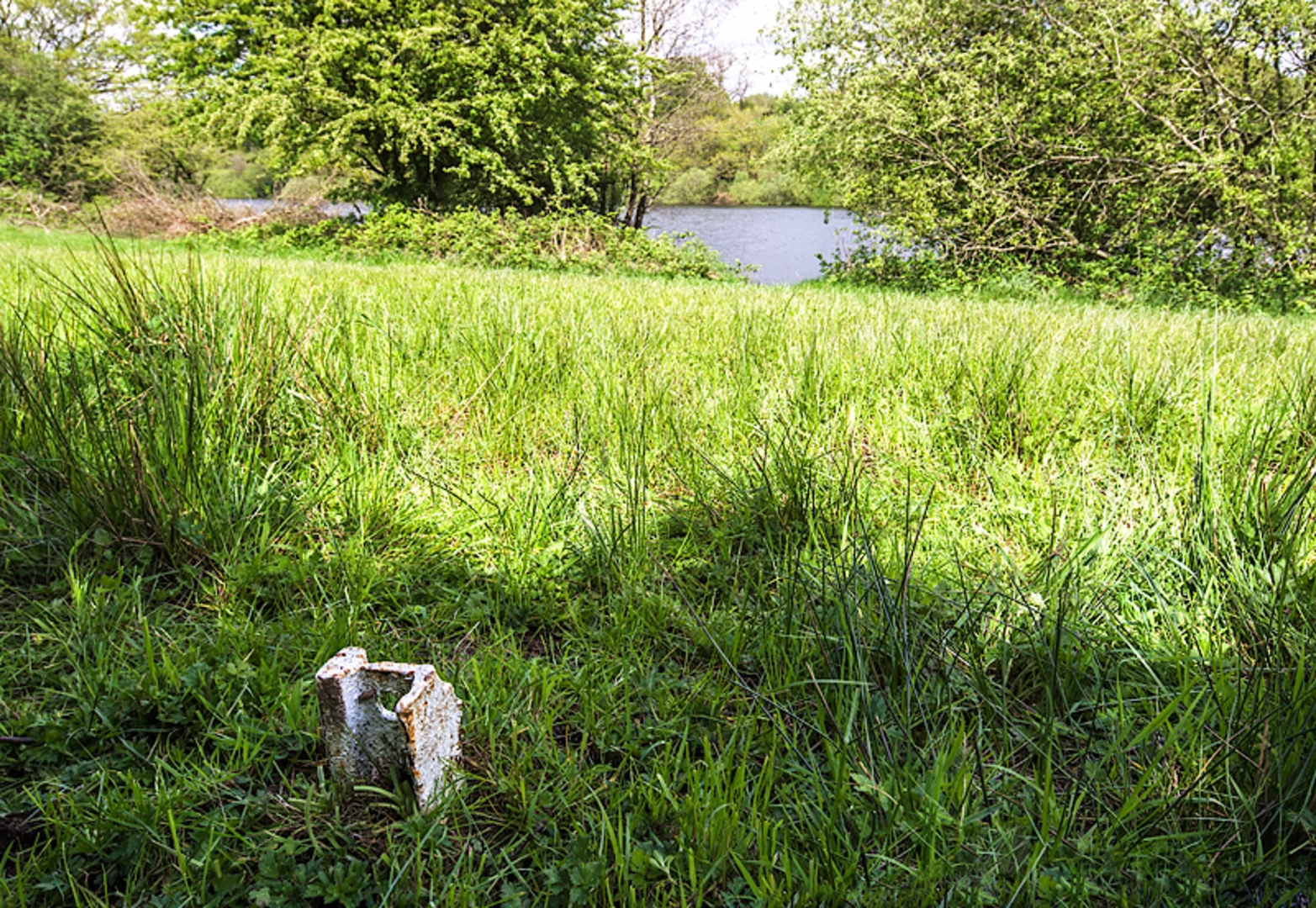
Key Landmarks and Sections #### Bosley Reservoir At the start, the reservoir itself is a significant landmark. The calm waters provide a perfect backdrop for the beginning of your hike. This area is also a great spot for birdwatching, with species such as herons and kingfishers often seen around the water.
#### Woodland Path Around the 3 km (1.9 miles) mark, the trail leads you into a dense woodland area. Here, the elevation begins to increase gradually. The forest is home to various wildlife, including deer and foxes, so keep your eyes peeled. The canopy provides ample shade, making this section particularly pleasant during warmer months.
#### Historical Sites As you approach the halfway point, around 5.5 km (3.4 miles), you'll come across remnants of old stone walls and farm buildings. These structures date back to the 18th century and offer a glimpse into the area's agricultural past. Take a moment to explore these ruins and imagine the lives of those who once worked the land.
#### Panoramic Views The trail's highest point is reached around the 7 km (4.3 miles) mark, where you'll be rewarded with panoramic views of the Cheshire countryside. On a clear day, you can see for miles, making this an excellent spot for a rest and some photos.
Final Stretch The descent begins after the viewpoint, leading you back towards the reservoir. This section is less steep but can be slippery after rain, so watch your footing. The final 2 km (1.2 miles) bring you back to the starting point, completing the loop.
Wildlife and Flora Throughout the hike, you'll encounter a variety of flora, including oak, beech, and birch trees. The undergrowth is rich with ferns and wildflowers, particularly in spring and summer. Wildlife is abundant, with opportunities to see rabbits, squirrels, and a variety of bird species.
Practical Tips - Wear sturdy hiking boots, especially for the woodland and descent sections. - Bring water and snacks, as there are no facilities along the trail. - Check the weather forecast and dress accordingly; the trail can be muddy after rain. - Use the HiiKER app for navigation to ensure you stay on the correct path.
This trail offers a balanced mix of natural beauty, historical interest, and moderate physical challenge, making it a rewarding experience for hikers of all levels.
What to expect?
Activity types
Comments and Reviews
User comments, reviews and discussions about the Bosley Reservoir, England.
4.67
average rating out of 5
3 rating(s)

