Download
Preview
Add to list
More
4.5 km
~56 min
31 m
Loop
“The Stourbridge Common and Ditton Meadows trail offers a scenic, historic, and accessible 4 km loop near Cambridge.”
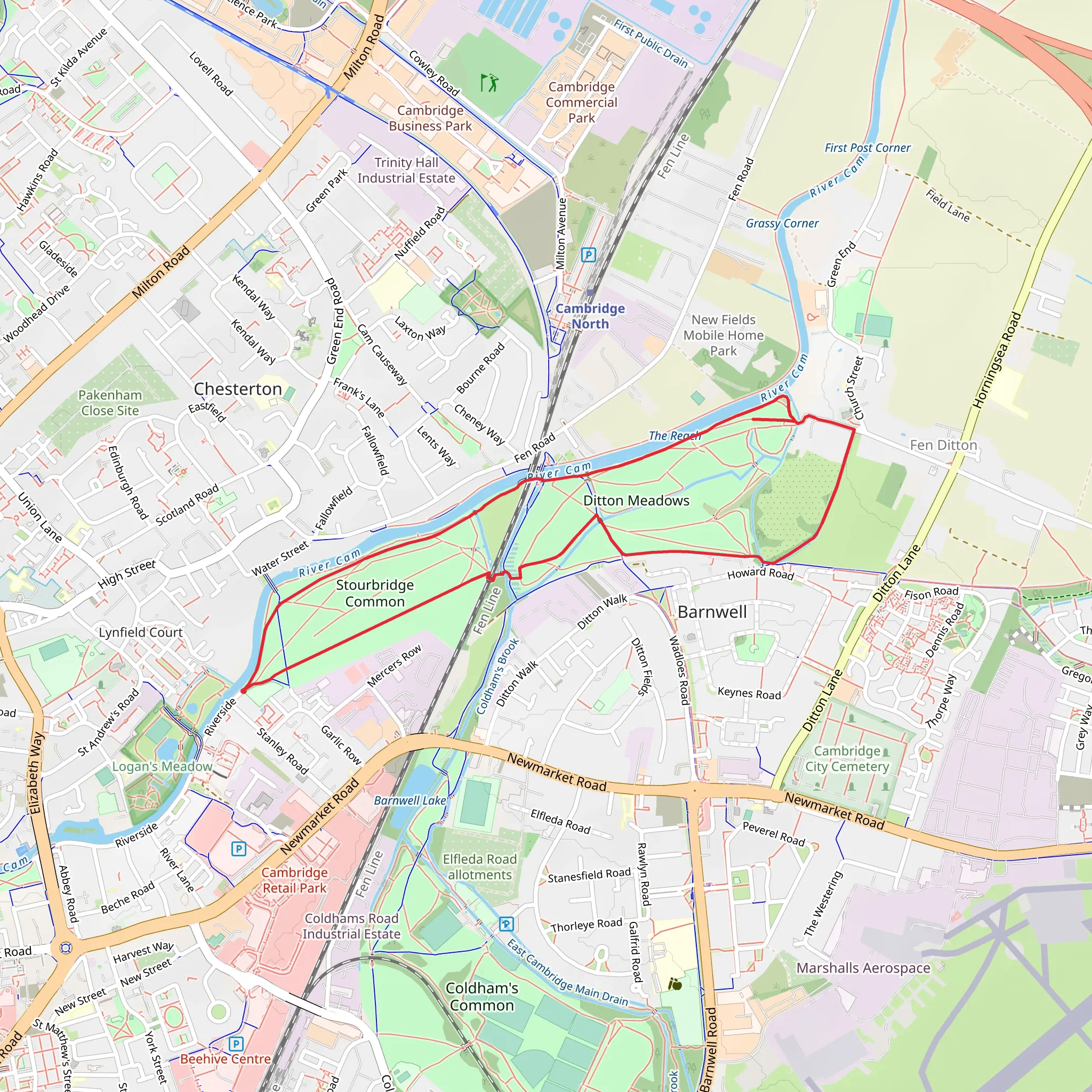
Starting near Cambridgeshire, England, the Stourbridge Common and Ditton Meadows trail is a delightful 4 km (approximately 2.5 miles) loop with virtually no elevation gain, making it accessible for most hikers. The trailhead is conveniently located near the River Cam, providing a scenic start to your journey.
Getting There To reach the trailhead, you can use public transport or drive. If you're taking public transport, the nearest significant landmark is Cambridge North Station, which is well-connected by trains and buses. From the station, it's a short walk to the start of the trail. If you're driving, you can park near the Green Dragon Bridge, which is a well-known local landmark and offers easy access to the trail.
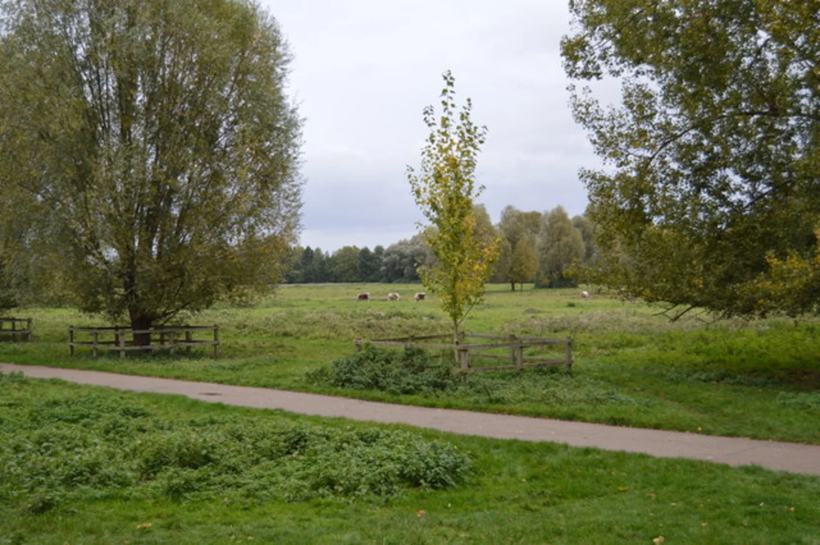
Trail Overview The trail begins at Stourbridge Common, a picturesque open space along the River Cam. As you start your hike, you'll be greeted by lush greenery and the gentle flow of the river. This area is rich in wildlife, so keep an eye out for swans, ducks, and other waterfowl that frequent the riverbanks.
Historical Significance Stourbridge Common has a rich history, dating back to medieval times when it was the site of the Stourbridge Fair, one of the largest medieval fairs in Europe. As you walk through the common, you can almost imagine the bustling activity that once took place here, with merchants and traders from all over the continent.
Key Landmarks and Points of Interest - **Green Dragon Bridge**: About 0.5 km (0.3 miles) into the hike, you'll cross the Green Dragon Bridge. This charming iron bridge offers lovely views of the River Cam and is a great spot for a photo. - **Ditton Meadows**: Approximately 1.5 km (0.9 miles) into the trail, you'll reach Ditton Meadows. This expansive meadow is perfect for a picnic or a short rest. The meadows are also home to a variety of wildflowers, especially in the spring and summer months. - **Riverside Path**: As you continue, you'll follow a riverside path that offers stunning views of the water and the surrounding countryside. This section is particularly serene and is a favorite among local walkers and cyclists.
Navigation and Safety The trail is well-marked and easy to follow, but it's always a good idea to have a reliable navigation tool like HiiKER to ensure you stay on track. The path can be muddy after rain, so waterproof footwear is recommended. While the trail is generally safe, be mindful of cyclists, especially on the narrower sections of the path.
Flora and Fauna The trail is a haven for nature lovers. In addition to the waterfowl, you might spot rabbits, hedgehogs, and a variety of bird species. The flora is equally impressive, with willows, poplars, and a variety of wildflowers adding to the trail's natural beauty.
Final Stretch As you loop back towards Stourbridge Common, you'll pass through more open fields and along the river, offering a peaceful end to your hike. The entire loop should take around 1 to 1.5 hours to complete, depending on your pace and how often you stop to take in the sights.
This trail offers a perfect blend of natural beauty, historical significance, and easy accessibility, making it a must-visit for anyone in the Cambridgeshire area.
What to expect?
Activity types
Comments and Reviews
User comments, reviews and discussions about the Stourbridge Common and Ditton Meadows, England.
5.0
average rating out of 5
1 rating(s)

