Download
Preview
Add to list
More
13.9 km
~3 hrs 46 min
596 m
Loop
“Experience the enchanting Sutcliffe Wood and panoramic Withens Clough Reservoir on this moderately challenging 14 km trail.”
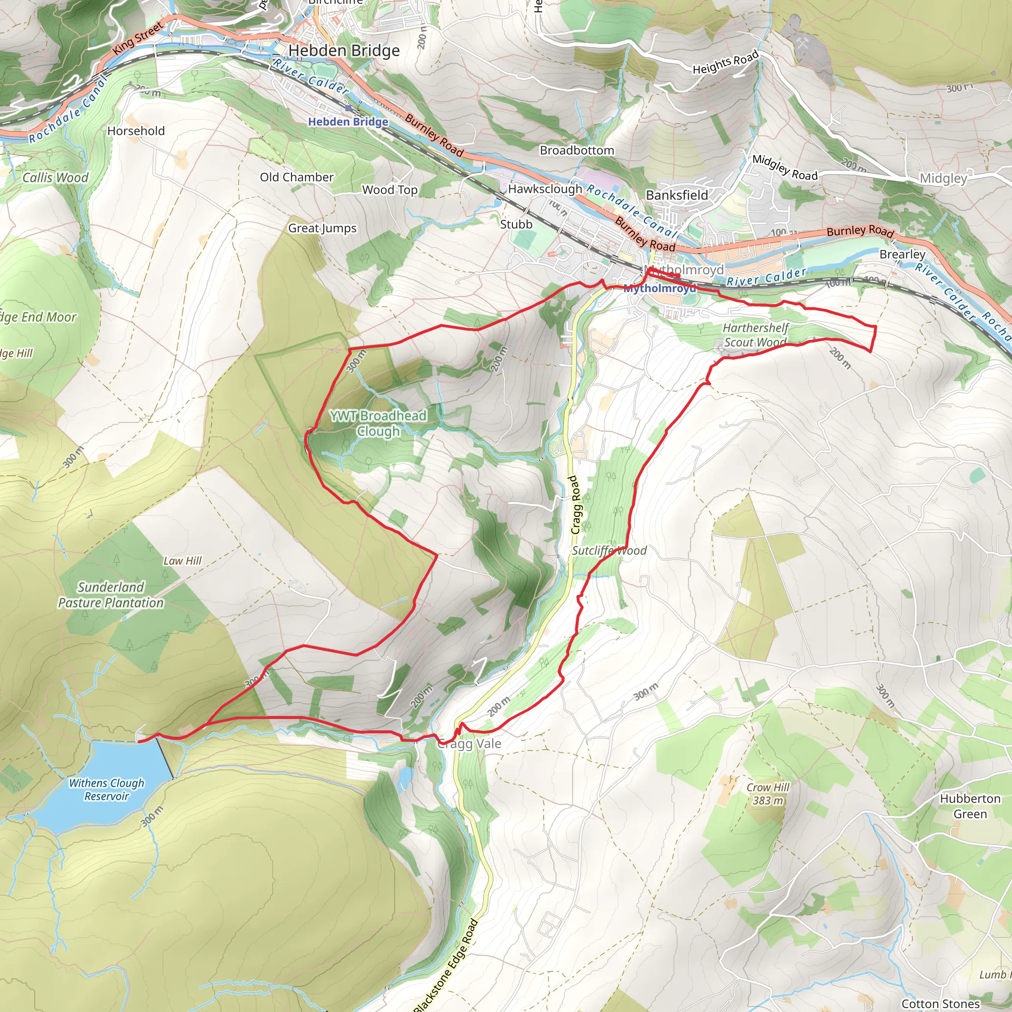
Starting near Calderdale, England, the Sutcliffe Wood and Withens Clough Reservoir Loop is a captivating 14 km (approximately 8.7 miles) trail with an elevation gain of around 500 meters (about 1,640 feet). This loop trail offers a moderate challenge, making it suitable for hikers with some experience.
Getting There To reach the trailhead, you can drive or use public transport. If driving, set your GPS to the nearest known address: Sutcliffe Wood, Calderdale, England. For those using public transport, the nearest significant landmark is the Hebden Bridge railway station. From there, you can take a local bus or taxi to the trailhead.
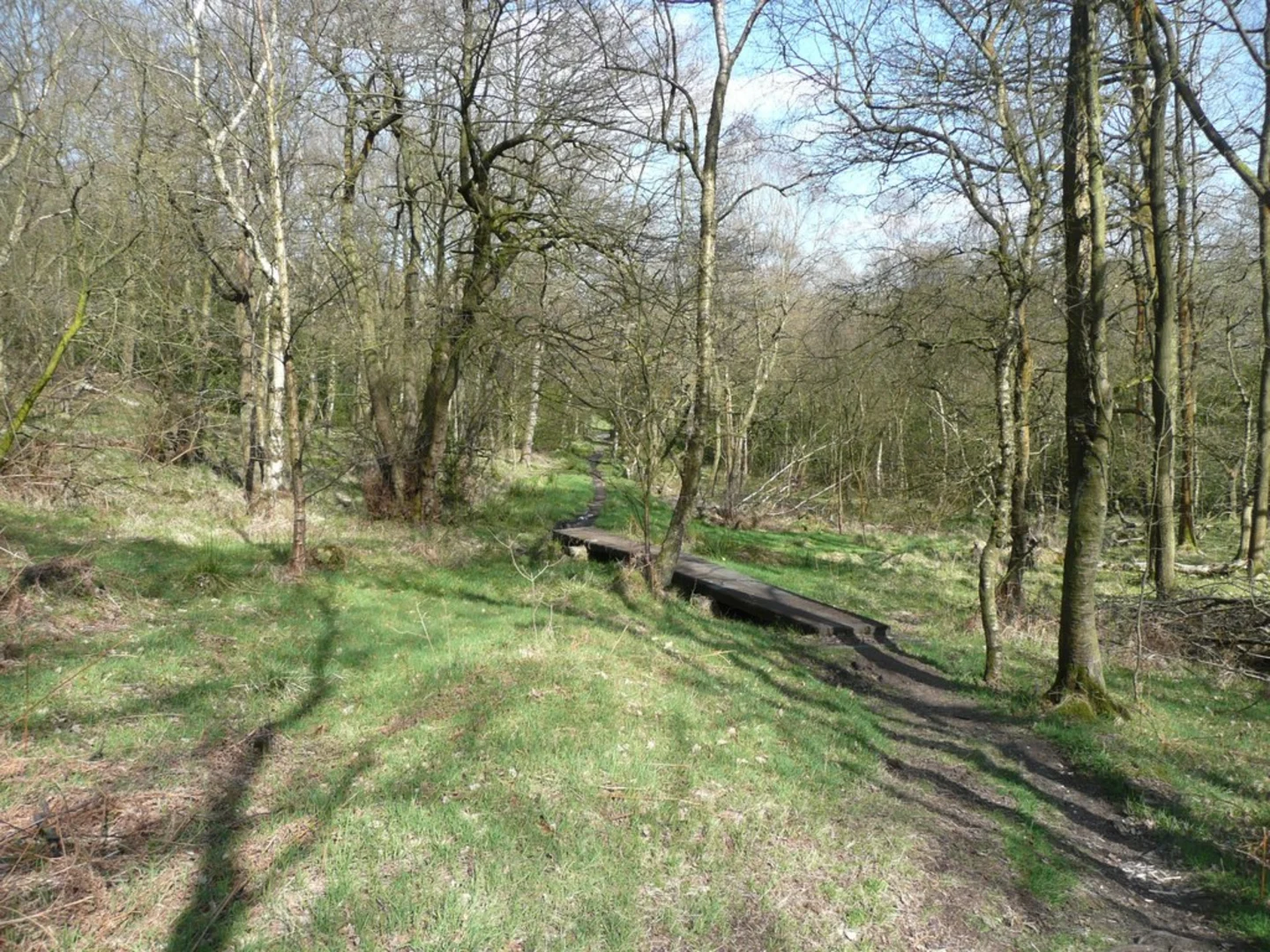
Trail Overview The trail begins with a gentle ascent through Sutcliffe Wood, a serene woodland area known for its lush greenery and diverse birdlife. As you hike through the woods, keep an eye out for native species such as the European robin and the great spotted woodpecker. The first 3 km (1.9 miles) of the trail will take you through this enchanting forest, with an elevation gain of about 100 meters (328 feet).
Withens Clough Reservoir After exiting Sutcliffe Wood, the trail opens up to the expansive Withens Clough Reservoir. This reservoir is a significant landmark, providing a picturesque backdrop for the next 5 km (3.1 miles) of your hike. The path around the reservoir is relatively flat, offering a welcome respite from the initial climb. Here, you can enjoy panoramic views of the water and surrounding moorlands. The reservoir is also a great spot for birdwatching, with species such as the common sandpiper and the grey heron frequently spotted.
Historical Significance The area around Withens Clough Reservoir is steeped in history. The reservoir itself was constructed in the late 19th century to supply water to the nearby towns. As you walk along the reservoir, you may notice remnants of old stone structures and walls, which are relics of the area's industrial past. This region was once a hub for textile mills, and the reservoir played a crucial role in supporting these industries.
Ascending the Moorlands After circling the reservoir, the trail begins a more challenging ascent into the moorlands. Over the next 4 km (2.5 miles), you'll gain approximately 300 meters (984 feet) in elevation. The terrain here is rugged and can be boggy, especially after rain, so sturdy hiking boots are recommended. The moorlands are home to a variety of wildlife, including red grouse and mountain hares. The expansive views from the top are well worth the effort, offering a sweeping panorama of the Calderdale region.
Returning to the Trailhead The final 2 km (1.2 miles) of the loop take you back down through a mix of open fields and woodland paths, gradually descending about 100 meters (328 feet) back to the trailhead. This section is relatively easy, allowing you to cool down and reflect on the diverse landscapes you've traversed.
Navigation For navigation, it's highly recommended to use the HiiKER app, which provides detailed maps and real-time updates to ensure you stay on track. The trail is well-marked, but having a reliable navigation tool can enhance your hiking experience and provide peace of mind.
This trail offers a rich blend of natural beauty, historical intrigue, and moderate physical challenge, making it a rewarding experience for any hiker.
What to expect?
Activity types
Comments and Reviews
User comments, reviews and discussions about the Sutcliffe Wood and Withens Clough Reservoir Loop, England.
average rating out of 5
0 rating(s)

