Download
Preview
Add to list
More
4.4 km
~1 hrs 3 min
105 m
Loop
“Discover the Moor Bottom trail: 4 km of scenic beauty and historical intrigue near Calderdale, England.”
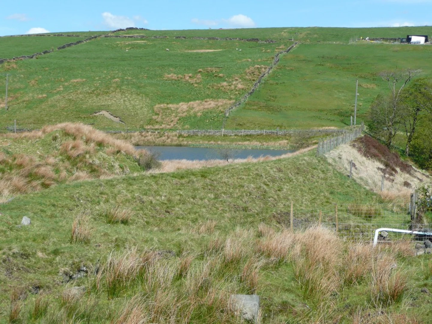
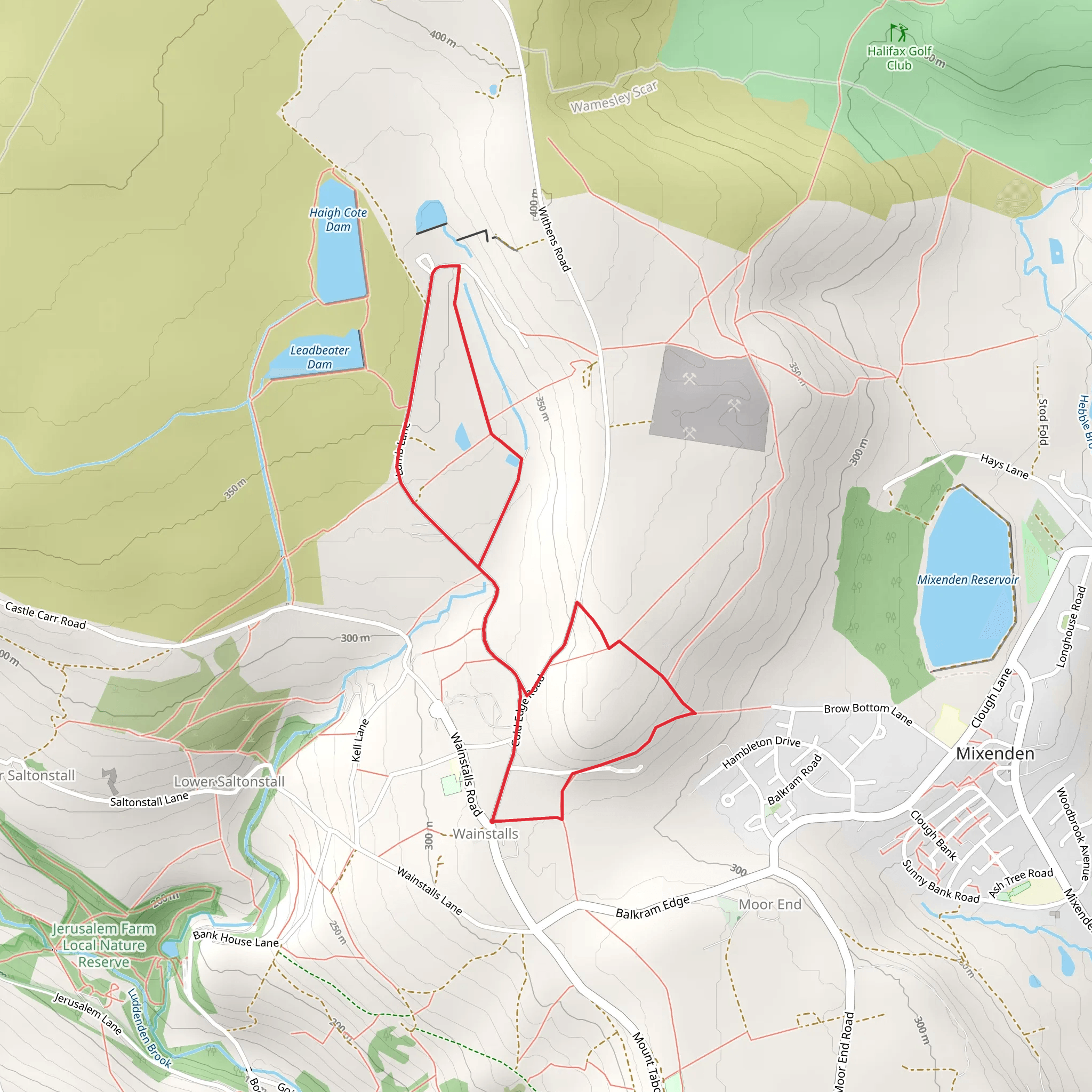
Starting near Calderdale, England, the Moor Bottom trail offers a delightful 4 km (approximately 2.5 miles) loop with an elevation gain of around 100 meters (328 feet). This medium-difficulty trail is perfect for those looking to experience the natural beauty and historical richness of the area.### Getting There To reach the trailhead, you can drive or use public transport. If driving, head towards Calderdale and look for parking near the village of Wainstalls, which is the closest significant landmark. For those using public transport, buses from Halifax frequently service the area, with stops near Wainstalls. From there, it's a short walk to the trailhead.### Trail Overview The trail begins with a gentle ascent through a mix of open moorland and wooded areas. Early on, you'll encounter a charming stone bridge crossing a small brook, a perfect spot for a quick photo or a moment of reflection. As you continue, the path meanders through patches of heather and bracken, offering stunning views of the surrounding Calderdale countryside.### Significant Landmarks and Points of Interest About 1 km (0.6 miles) into the hike, you'll come across the remnants of an old stone farmhouse, a testament to the area's agricultural past. This site provides a fascinating glimpse into the lives of those who once worked the land.Further along, at approximately the 2 km (1.2 miles) mark, you'll reach the highest point of the trail. Here, the elevation gain of 100 meters (328 feet) rewards you with panoramic views of the Calder Valley. On a clear day, you can see as far as the Pennine hills, making it an ideal spot for a rest and some photography.### Flora and Fauna The Moor Bottom trail is rich in biodiversity. Keep an eye out for native bird species such as the skylark and the curlew, especially in the open moorland sections. The wooded areas are home to a variety of small mammals and, if you're lucky, you might even spot a deer. The flora is equally diverse, with seasonal wildflowers adding splashes of color to the landscape.### Historical Significance Calderdale has a deep historical significance, with roots tracing back to the Roman era. The trail itself passes near several ancient boundary markers and old stone walls, remnants of the area's long history of land use and settlement. These features offer a tangible connection to the past, enriching your hiking experience.### Navigation and Safety Given the trail's medium difficulty rating, it's advisable to use a reliable navigation tool like HiiKER to ensure you stay on track. The path is generally well-marked, but sections can become muddy and slippery, especially after rain. Good hiking boots and weather-appropriate clothing are recommended.### Completing the Loop As you descend back towards the trailhead, the path takes you through a serene woodland area, where the sound of rustling leaves and birdsong creates a peaceful atmosphere. The final stretch brings you back to the starting point near Wainstalls, completing the 4 km (2.5 miles) loop.This trail offers a perfect blend of natural beauty, historical intrigue, and moderate physical challenge, making it a rewarding experience for hikers of all levels.
What to expect?
Activity types
Comments and Reviews
User comments, reviews and discussions about the Moor Bottom, England.
4.0
average rating out of 5
1 rating(s)

