Download
Preview
Add to list
More
10.1 km
~2 hrs 20 min
202 m
Loop
“Explore the scenic and historic 10 km Waterhall Conservation Area Loop, perfect for moderately experienced hikers.”
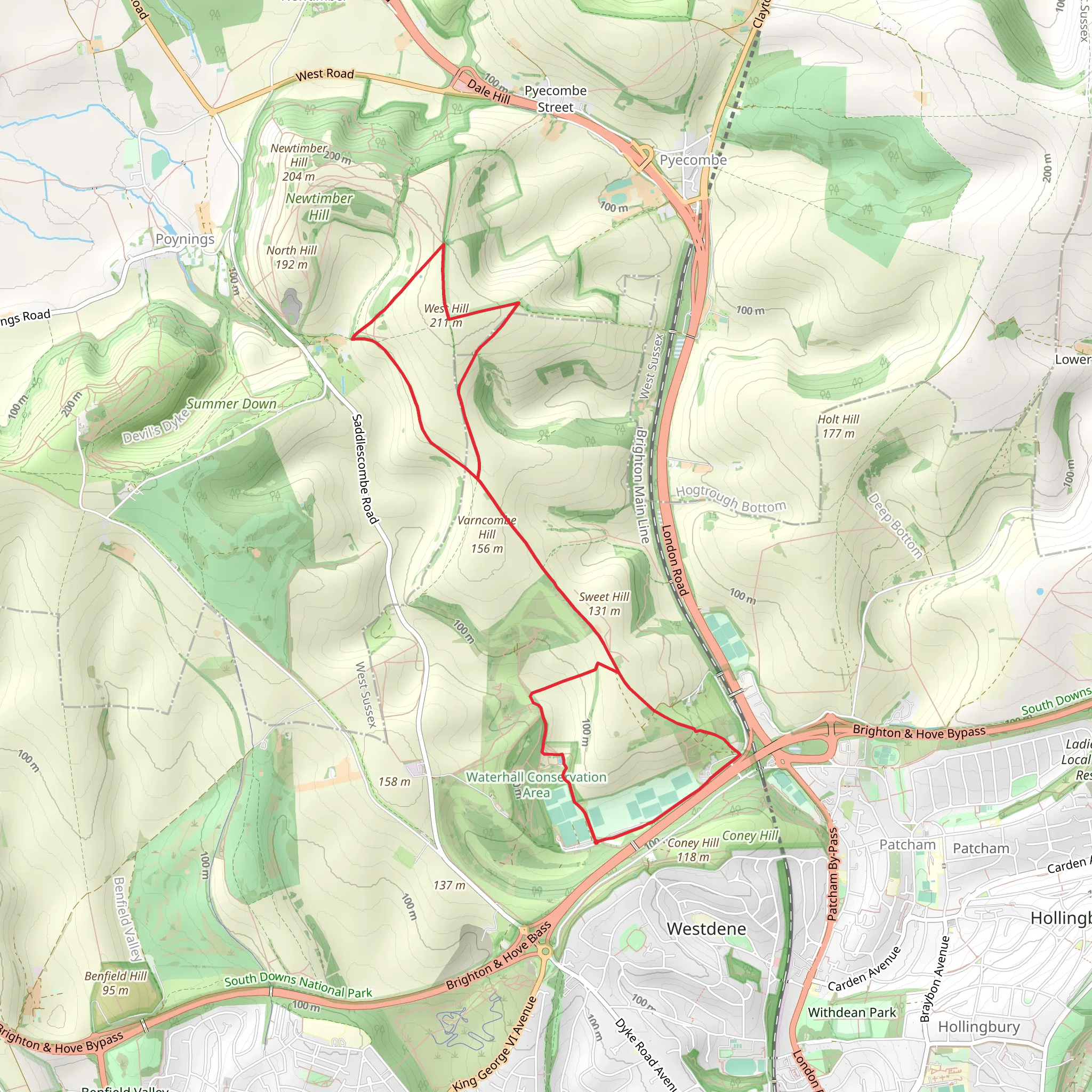
Starting your hike near Brighton and Hove, England, the Waterhall Conservation Area Loop is a delightful 10 km (6.2 miles) trail with an elevation gain of approximately 200 meters (656 feet). This loop trail is rated as medium difficulty, making it suitable for moderately experienced hikers.
Getting There To reach the trailhead, you can either drive or use public transport. If you're driving, set your GPS to Waterhall Road, Brighton, BN1 8YR, which is the nearest known address. There is a small parking area available. For those using public transport, take a train to Brighton Station and then catch a local bus (such as the 5B) towards Patcham. Alight at the Waterhall Road stop, and the trailhead is a short walk from there.
Trail Overview The trail begins with a gentle ascent, allowing you to ease into the hike. As you progress, the path meanders through a mix of open fields and wooded areas, offering a variety of landscapes. The initial 2 km (1.2 miles) will take you through lush meadows, where you might spot local wildlife such as rabbits and various bird species.
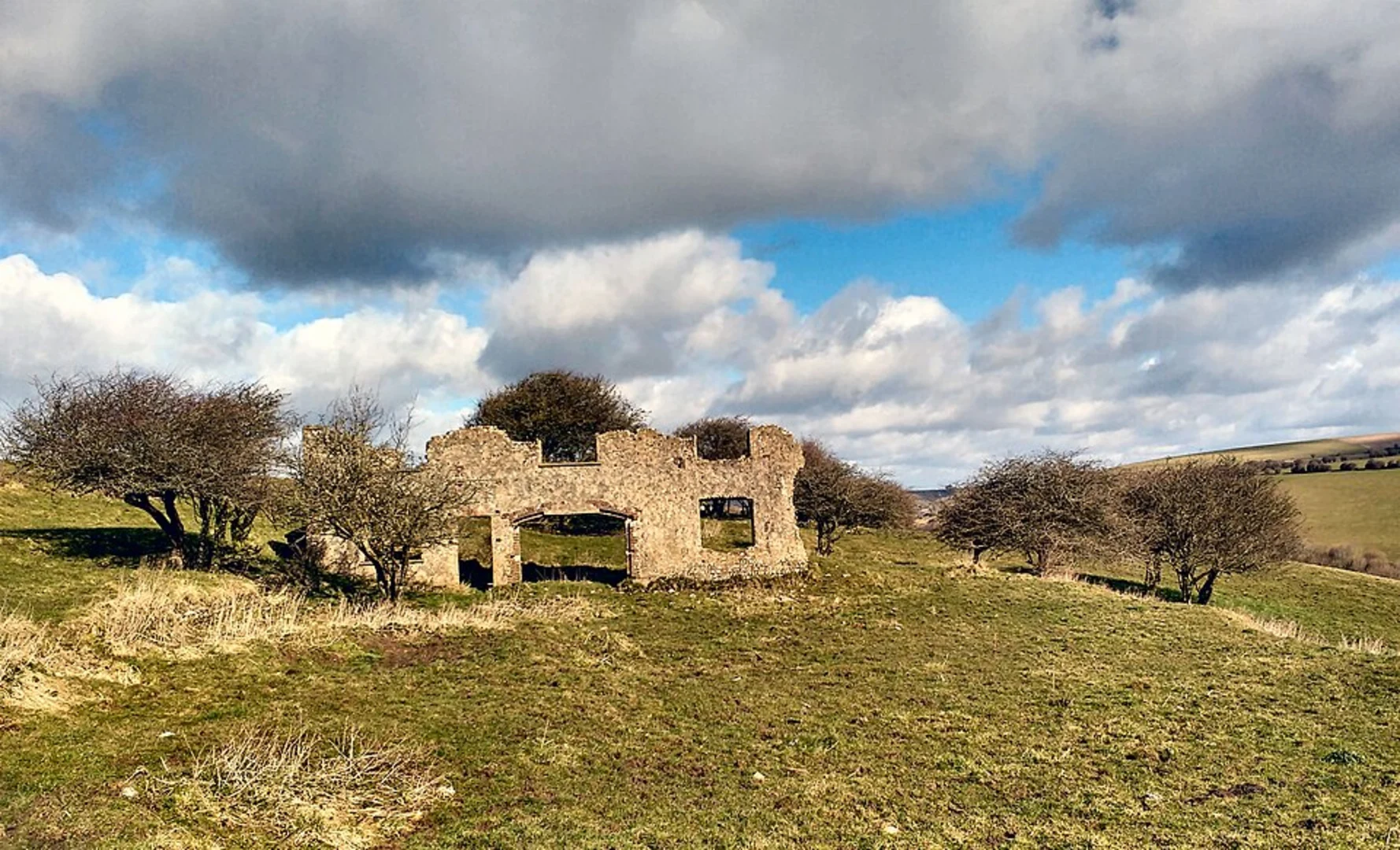
Historical Significance Around the 3 km (1.9 miles) mark, you'll come across remnants of ancient chalk pits. These pits are a testament to the area's historical significance in the chalk mining industry, which dates back to the 18th century. Take a moment to appreciate the history embedded in the landscape.
Midway Point and Elevation Gain At approximately 5 km (3.1 miles), you'll reach the highest point of the trail, offering panoramic views of the South Downs and the surrounding countryside. This is a great spot to take a break and enjoy a packed lunch. The elevation gain here is around 100 meters (328 feet) from the trailhead, making it the most challenging part of the hike.
Flora and Fauna As you descend, the trail takes you through a dense woodland area. Keep an eye out for native flora such as bluebells and wild garlic, especially in the spring. The woodland is also home to various bird species, including woodpeckers and owls, so bring your binoculars if you're a bird-watching enthusiast.
Navigation and Safety The trail is well-marked, but it's always a good idea to have a reliable navigation tool. I recommend using HiiKER for accurate trail maps and real-time updates. The app can help you stay on course and provide additional information about the trail.
Final Stretch The last 2 km (1.2 miles) of the loop will take you back through open fields, gradually descending towards the trailhead. This section is relatively easy, allowing you to cool down and reflect on the hike. As you approach the end, you'll pass by Waterhall Golf Course, a notable landmark that signals you're nearing the finish.
Practical Tips - Wear sturdy hiking boots, as some sections can be muddy, especially after rain. - Bring plenty of water and snacks, as there are no facilities along the trail. - Check the weather forecast before heading out, as conditions can change rapidly.
Enjoy your hike through the Waterhall Conservation Area Loop, a trail that offers a perfect blend of natural beauty and historical intrigue.
What to expect?
Activity types
Comments and Reviews
User comments, reviews and discussions about the Waterhall Conservation Area Loop, England.
5.0
average rating out of 5
1 rating(s)

