Download
Preview
Add to list
More
8.1 km
~1 hrs 55 min
180 m
Loop
“Explore the scenic Castle Hill Loop near Brighton, blending natural beauty, history, and moderate hiking challenges.”
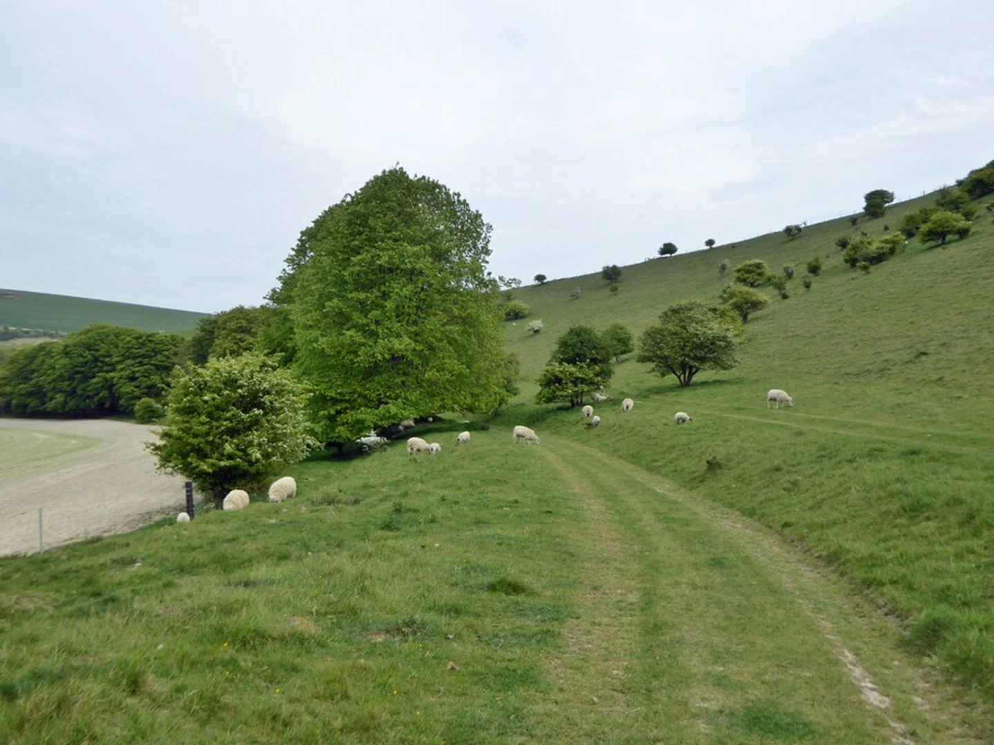
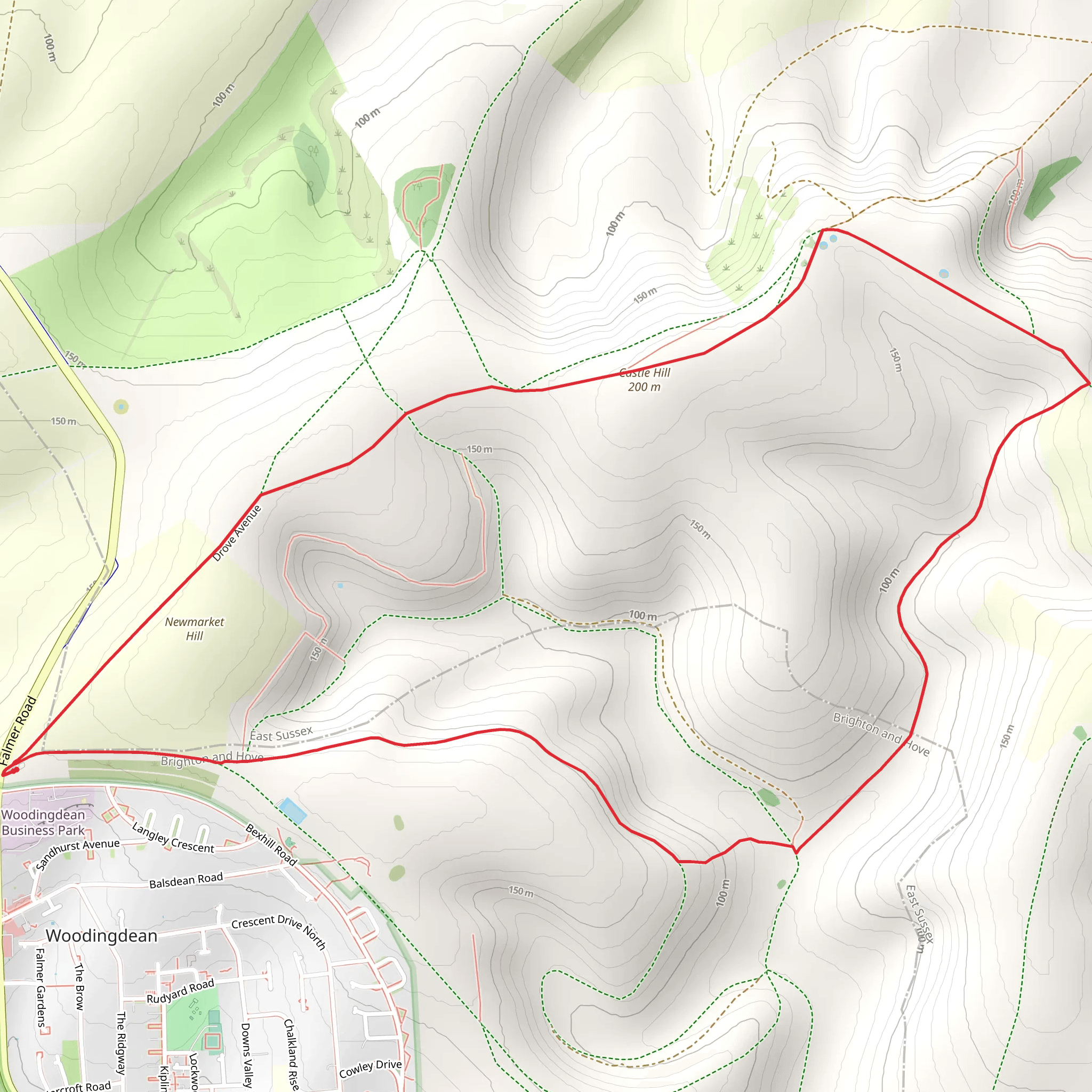
Starting near the vibrant city of Brighton and Hove, England, the Castle Hill Loop is an 8 km (approximately 5 miles) trail with an elevation gain of around 100 meters (328 feet). This loop trail offers a moderate challenge, making it suitable for hikers with some experience.### Getting There To reach the trailhead, you can take public transport or drive. If you're using public transport, the nearest significant landmark is the Brighton Railway Station. From there, you can catch a local bus that heads towards Woodingdean, where you can alight near the junction of Falmer Road and Bexhill Road. If you're driving, you can park near the same junction, which is easily accessible from the A27.### Trail Overview The trail begins with a gentle ascent, offering panoramic views of the South Downs National Park. As you start, you'll notice the lush greenery and rolling hills that characterize this region. The initial part of the trail is well-marked and easy to follow, but it's always a good idea to have a reliable navigation tool like HiiKER to ensure you stay on track.### Significant Landmarks At around the 2 km (1.2 miles) mark, you'll come across the historical Castle Hill Nature Reserve. This area is rich in chalk grassland, a habitat that supports a variety of rare plants and insects. Keep an eye out for the Adonis blue butterfly and the fragrant wild thyme that blooms in the summer months.### Flora and Fauna As you continue, the trail meanders through a mix of open fields and wooded areas. The diverse landscape is home to a variety of wildlife, including rabbits, foxes, and a plethora of bird species. Birdwatchers should bring binoculars to spot skylarks, kestrels, and even the occasional barn owl.### Historical Significance Castle Hill itself has a rich history dating back to the Iron Age. The hillfort, although now mostly in ruins, offers a glimpse into the past and provides a fantastic vantage point for views over the surrounding countryside. The area was also significant during World War II, serving as a lookout point.### Midway Point Around the 4 km (2.5 miles) mark, you'll reach the highest point of the trail, offering stunning views of the English Channel on a clear day. This is a great spot to take a break, have a snack, and soak in the scenery.### Descending Back The descent is gradual and takes you through more wooded areas and open fields. The trail loops back towards the starting point, passing through the picturesque village of Woodingdean. Here, you can find a few local pubs and cafes if you wish to rest and refresh before completing the loop.### Final Stretch The last 2 km (1.2 miles) of the trail are relatively flat, making for an easy finish. You'll pass through more chalk grasslands, which are particularly beautiful in the late afternoon light. The trail ends back at the junction of Falmer Road and Bexhill Road, where you can catch a bus back to Brighton or retrieve your car.This trail offers a perfect blend of natural beauty, historical intrigue, and moderate physical challenge, making it a rewarding experience for any hiker.
What to expect?
Activity types
Comments and Reviews
User comments, reviews and discussions about the Castle Hill Loop, England.
4.5
average rating out of 5
4 rating(s)

