Download
Preview
Add to list
More
13.1 km
~3 hrs 0 min
237 m
Loop
“Embark on the Benfield Valley Loop for stunning landscapes, historical intrigue, and moderate hiking challenges.”
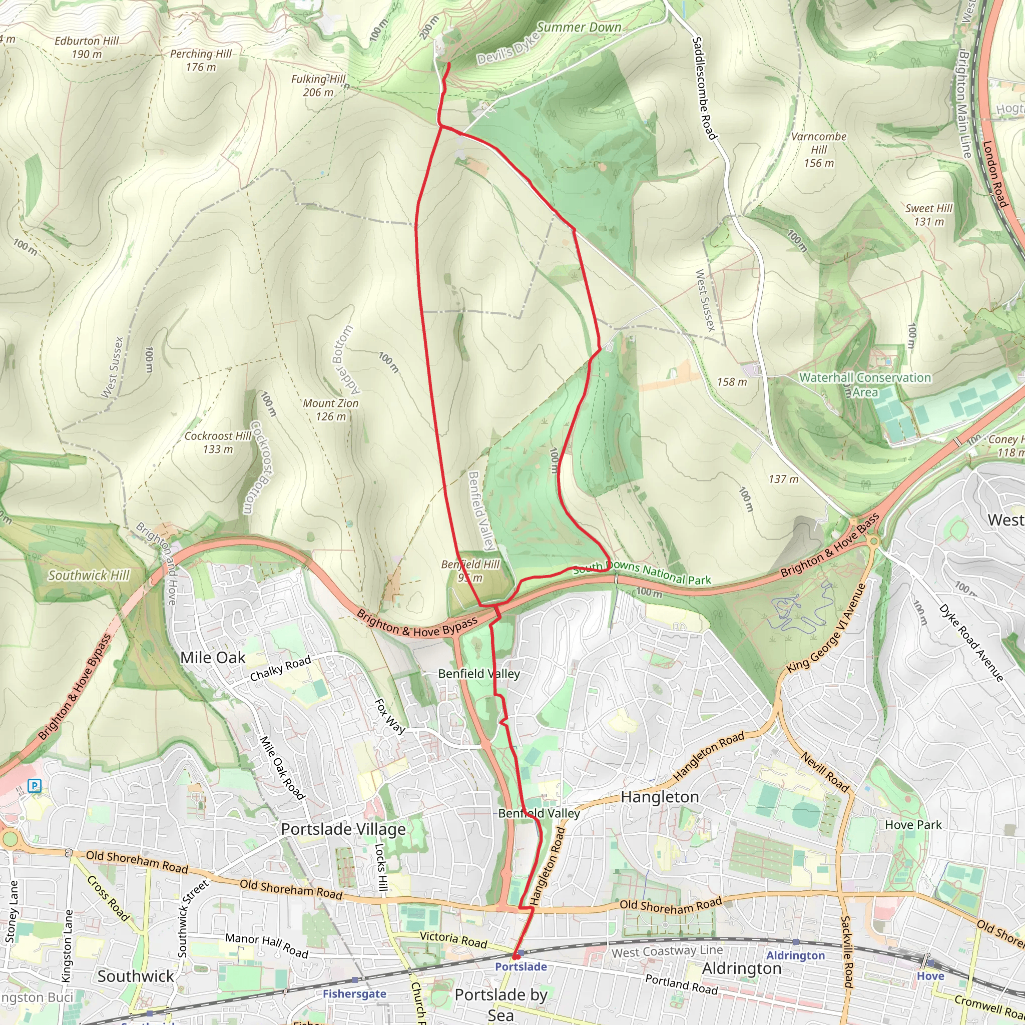
Starting near Brighton and Hove, England, the Benfield Valley, Hill and Devil's Dyke Loop is a captivating 13 km (8 miles) trail with an elevation gain of around 200 meters (656 feet). This loop trail offers a medium difficulty rating, making it suitable for moderately experienced hikers.
Getting There To reach the trailhead, you can take public transport from Brighton city center. Buses frequently run to the outskirts of Hove, where you can alight near the Hangleton area. If you're driving, you can park near the Hangleton Manor, a historic pub and restaurant, which serves as a convenient landmark.
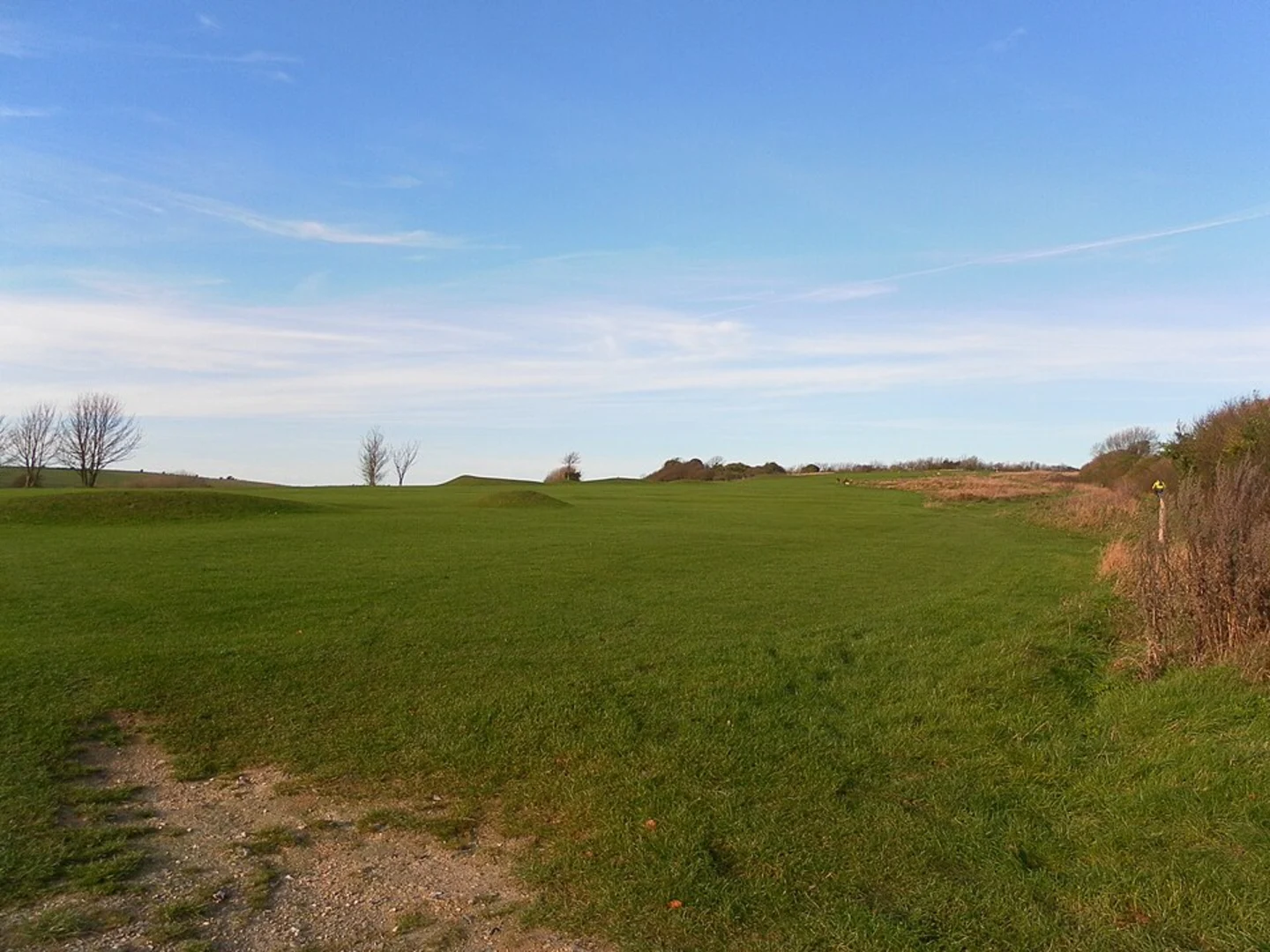
Trail Overview The trail begins in the Benfield Valley, a serene green space that provides a gentle introduction to the hike. As you progress, you'll encounter a mix of open fields and wooded areas, offering a variety of landscapes. The initial part of the trail is relatively flat, making it an excellent warm-up for the more challenging sections ahead.
Benfield Hill Approximately 3 km (1.9 miles) into the hike, you'll start ascending Benfield Hill. This section offers panoramic views of the surrounding countryside and the English Channel in the distance. The climb is gradual but steady, gaining about 100 meters (328 feet) in elevation. Keep an eye out for local wildlife, including rabbits and various bird species.
Devil's Dyke Around the 7 km (4.3 miles) mark, you'll reach Devil's Dyke, a historic and geological marvel. This V-shaped valley is the largest dry valley in the UK and offers breathtaking views. Legend has it that the Devil himself created the dyke in an attempt to flood the Weald of Sussex. The area is rich in chalk grassland, home to rare plants and butterflies. There are several viewpoints where you can take a break and soak in the scenery.
Historical Significance Devil's Dyke has a rich history, with evidence of human activity dating back to the Iron Age. The area was also a popular Victorian tourist destination, complete with a funicular railway and a fairground. Today, remnants of these attractions can still be seen, adding a layer of historical intrigue to your hike.
Navigation and Safety The trail is well-marked, but it's always a good idea to have a reliable navigation tool like HiiKER to ensure you stay on track. The terrain can be uneven, especially in the wooded sections and near Devil's Dyke, so sturdy hiking boots are recommended.
Final Stretch The final part of the loop takes you back through the Benfield Valley, descending gradually and offering a peaceful end to your hike. This section is less strenuous, allowing you to cool down and reflect on the diverse landscapes and historical landmarks you've encountered.
Whether you're a local or a visitor, the Benfield Valley, Hill and Devil's Dyke Loop offers a rewarding hiking experience with a mix of natural beauty and historical significance.
What to expect?
Activity types
Comments and Reviews
User comments, reviews and discussions about the Benfield Valley, Hill and Devil's Dyke Loop, England.
4.5
average rating out of 5
2 rating(s)

