Download
Preview
Add to list
More
9.4 km
~2 hrs 15 min
231 m
Loop
“The Egerton Loop is a scenic 9 km trail featuring woodland, wildlife, and historical landmarks near Bolton.”
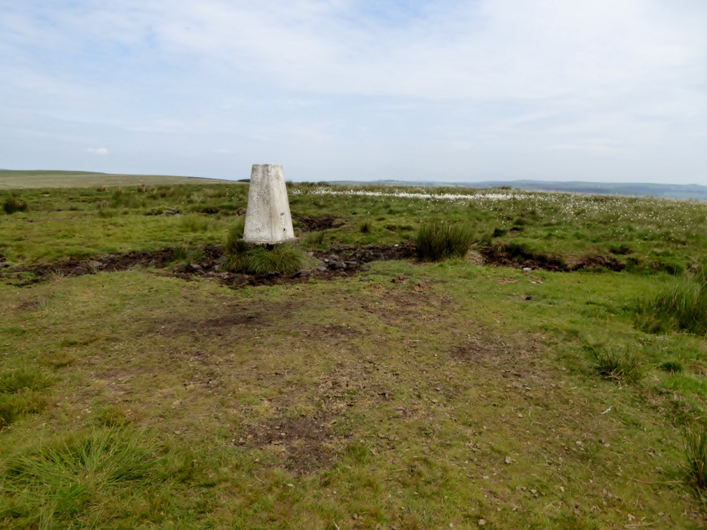
Starting near Bolton, England, the Egerton Loop is a delightful 9 km (5.6 miles) trail with an elevation gain of around 200 meters (656 feet). This loop trail is rated as medium difficulty, making it suitable for moderately experienced hikers.### Getting There To reach the trailhead, you can drive or use public transport. If driving, set your GPS to Egerton Park, Bolton, which is the nearest significant landmark. For those using public transport, take a train to Bolton Station and then a bus towards Egerton. The bus stop near Egerton Park is a convenient drop-off point.### Trail Overview The Egerton Loop offers a mix of woodland paths, open fields, and charming village scenery. Starting from Egerton Park, the trail initially takes you through a serene woodland area. The first kilometer (0.6 miles) is relatively flat, allowing you to ease into the hike.### Woodland and Wildlife As you progress, the trail begins to ascend gently. Around the 2 km (1.2 miles) mark, you'll find yourself surrounded by dense woodland. This section is rich in wildlife; keep an eye out for squirrels, various bird species, and perhaps even a deer if you're lucky. The elevation gain here is about 50 meters (164 feet), providing a good warm-up for the more challenging sections ahead.### Historical Landmarks At approximately 3 km (1.9 miles), you'll come across the remains of an old mill, a testament to the area's industrial past. This spot is perfect for a short break and some photographs. The mill ruins are a reminder of the region's rich history in textile manufacturing during the 19th century.### Open Fields and Panoramic Views Continuing on, the trail opens up into expansive fields around the 4 km (2.5 miles) mark. Here, the elevation gain becomes more noticeable, adding another 100 meters (328 feet) over the next 2 km (1.2 miles). The effort is well worth it, as you'll be rewarded with panoramic views of the surrounding countryside. On a clear day, you can see as far as the West Pennine Moors.### Navigational Tips For navigation, it's highly recommended to use the HiiKER app, which provides detailed maps and real-time updates. This will help you stay on track, especially in the more remote sections of the trail.### Return to Egerton Park The final stretch of the trail descends gradually back into the woodland, leading you back to Egerton Park. This section is about 3 km (1.9 miles) long and offers a gentle cooldown after the more strenuous middle sections. The total elevation loss mirrors the gain, making for a balanced hike.### Practical Information Ensure you wear sturdy hiking boots, as the trail can be muddy, especially after rain. Bring sufficient water and snacks, as there are no facilities along the route. The trail is well-marked, but having a map on HiiKER will enhance your experience and ensure you don't miss any key points of interest.The Egerton Loop is a rewarding hike that combines natural beauty, wildlife, and historical landmarks, making it a must-visit for anyone in the Bolton area.

What to expect?
Activity types
Comments and Reviews
User comments, reviews and discussions about the Egerton Loop, England.
4.25
average rating out of 5
4 rating(s)