Download
Preview
Add to list
More
8.3 km
~1 hrs 57 min
176 m
Loop
“Explore Lancashire's history and nature on this rewarding 8 km loop with diverse landscapes and wildlife.”
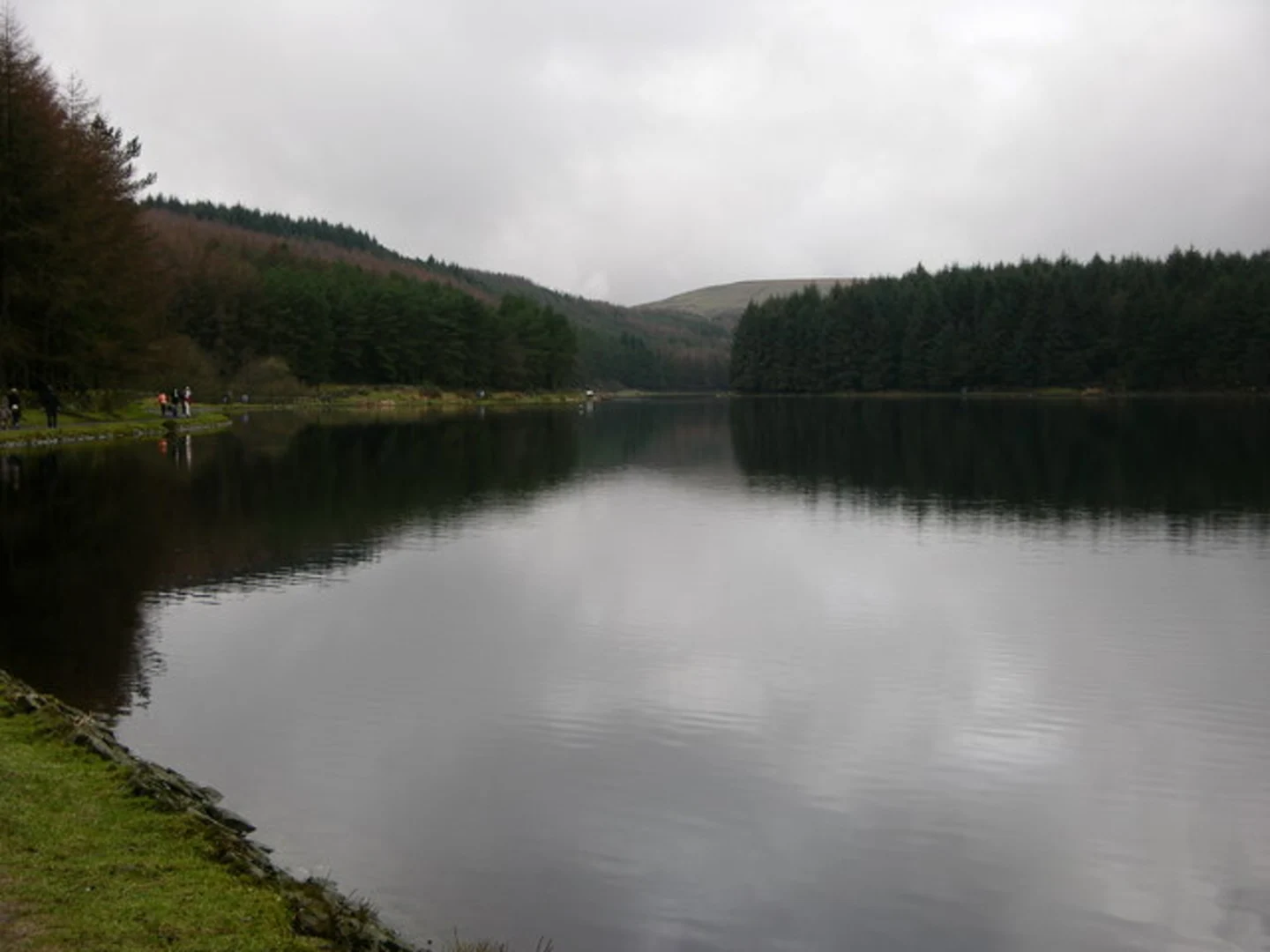
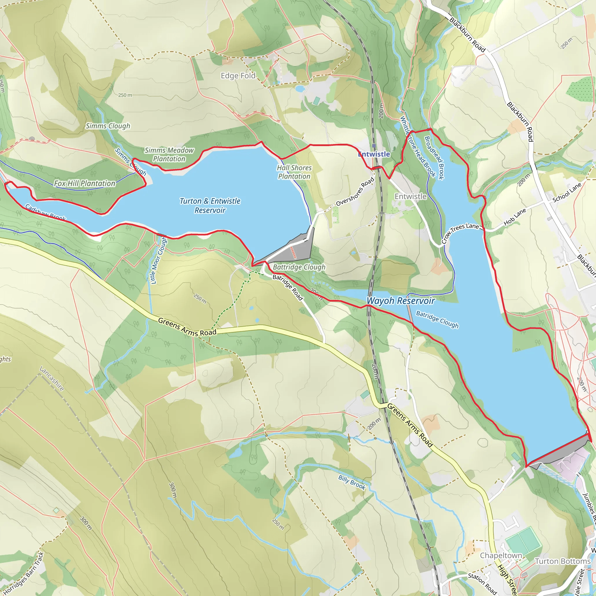
Starting near Blackburn with Darwen, England, the Wayoh Reservoir and Turton and Entwistle Reservoir Loop is an 8 km (approximately 5 miles) loop trail with an elevation gain of around 100 meters (328 feet). This trail is rated as medium difficulty and offers a blend of natural beauty and historical significance.### Getting There To reach the trailhead, you can drive or use public transport. If driving, you can park near the Wayoh Reservoir, close to the village of Edgworth. For those using public transport, the nearest train station is Entwistle, which is a short walk from the trailhead. Buses also run from Blackburn and Bolton to Edgworth, making it accessible for those without a car.### Trail Overview The loop begins near the Wayoh Reservoir, a serene body of water surrounded by lush greenery. As you start your hike, you'll be greeted by the tranquil sounds of water and the sight of various waterfowl. The trail is well-marked and maintained, making it easy to follow.### Key Landmarks and Sections#### Wayoh Reservoir The first section of the trail takes you around the Wayoh Reservoir. This reservoir was constructed in the late 19th century to supply water to the nearby towns. As you walk along the shoreline, you'll notice the impressive Victorian engineering, including the dam and spillway. The path here is relatively flat, making it a gentle start to your hike.#### Turton and Entwistle Reservoir After circling Wayoh, the trail leads you towards the Turton and Entwistle Reservoir. This reservoir is slightly larger and offers more varied terrain. The path becomes a bit more undulating, with some gentle climbs and descents. Keep an eye out for the old stone bridge that crosses the reservoir's outflow; it's a great spot for photos.#### Woodland and Wildlife Between the two reservoirs, the trail meanders through patches of woodland. These areas are rich in wildlife, including deer, foxes, and a variety of bird species. Spring and early summer are particularly good times to spot wildflowers and butterflies. The woodland sections provide a nice contrast to the open water views and add a bit of shade on sunny days.### Navigation and Safety While the trail is well-marked, it's always a good idea to have a reliable navigation tool. HiiKER is an excellent app for this purpose, offering detailed maps and real-time tracking to ensure you stay on course. The trail can be muddy in places, especially after rain, so sturdy hiking boots are recommended.### Historical Significance The reservoirs themselves are a testament to the Victorian era's engineering prowess. Built to supply water to the rapidly industrializing towns of Lancashire, they played a crucial role in the region's development. Along the trail, you'll find information boards detailing the history and construction of these reservoirs, adding an educational element to your hike.### Final Stretch The final part of the loop brings you back towards Wayoh Reservoir. This section is relatively flat and offers a relaxing end to your hike. As you approach the starting point, you'll have a chance to reflect on the diverse landscapes and historical landmarks you've encountered along the way.This 8 km loop offers a perfect blend of natural beauty, wildlife, and historical significance, making it a rewarding hike for those looking to explore the Lancashire countryside.
What to expect?
Activity types
Comments and Reviews
User comments, reviews and discussions about the Wayoh Reservoir and Turton and Entwistle Reservoir Loop, England.
4.5
average rating out of 5
4 rating(s)

