Download
Preview
Add to list
More
4.6 km
~1 hrs 3 min
88 m
Loop
“"Discover natural beauty and history on the accessible 5 km Greyfield Wood Loop near High Littleton."”
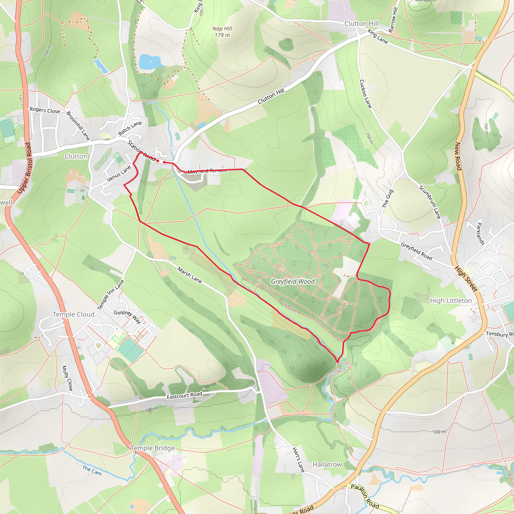
Starting near Bath and North East Somerset, England, the Greyfield Wood Loop is a delightful 5 km (approximately 3.1 miles) trail with no significant elevation gain, making it accessible for a wide range of hikers. The trailhead is conveniently located near the village of High Littleton, which can be reached by car or public transport. If you're driving, there is parking available near the village center. For those using public transport, the nearest bus stop is in High Littleton, serviced by routes from Bath and Bristol.
Trail Overview
The Greyfield Wood Loop is a medium-difficulty trail that winds through a picturesque woodland area. The path is well-marked and maintained, making navigation straightforward. For those who prefer digital navigation tools, the HiiKER app provides an excellent resource for staying on track.
Flora and Fauna
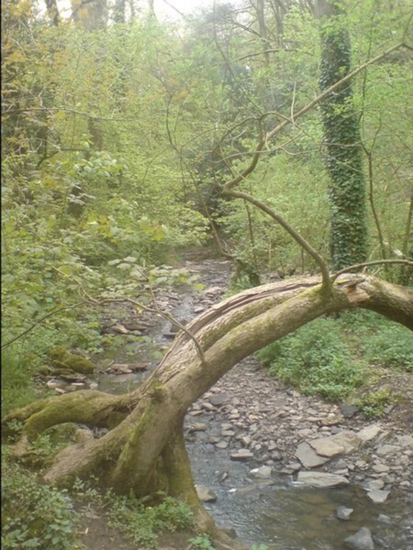
As you embark on the trail, you'll be greeted by a lush canopy of mixed deciduous trees, including oak, ash, and beech. The undergrowth is rich with ferns, bluebells in the spring, and various fungi in the autumn. Birdwatchers will be delighted by the presence of species such as woodpeckers, nuthatches, and the occasional buzzard soaring overhead. Keep an eye out for small mammals like squirrels and, if you're lucky, you might spot a deer grazing in the quieter parts of the wood.
Historical Significance
Greyfield Wood has a rich history dating back to the medieval period. The area was once part of a larger estate and has remnants of old boundary walls and ancient trees that have stood the test of time. One of the most notable historical landmarks is the old Greyfield Colliery, which was operational in the 19th century. Although the colliery itself is no longer standing, you can still see some of the old mining infrastructure and read about its history on informational plaques along the trail.
Points of Interest
- Greyfield Colliery Remnants: Approximately 2 km (1.2 miles) into the hike, you'll come across the remnants of the old colliery. This area offers a fascinating glimpse into the industrial past of the region. - Scenic Overlook: Around the 3 km (1.9 miles) mark, there's a small clearing that provides a beautiful view of the surrounding countryside. It's a perfect spot for a short break and some photography. - Stream Crossings: The trail features a couple of charming stream crossings, which are particularly picturesque after a rainfall. These are located roughly 1 km (0.6 miles) and 4 km (2.5 miles) into the hike.
Trail Conditions and Safety
The trail is generally well-maintained, but it can become muddy and slippery after rain, so appropriate footwear is recommended. There are a few sections with exposed tree roots and uneven ground, so watch your step to avoid tripping. While the trail is not particularly strenuous, it's always a good idea to carry water, a small first aid kit, and a map or the HiiKER app for navigation.
Getting There
To reach the trailhead, you can drive to High Littleton, where parking is available near the village center. If you're using public transport, buses from Bath and Bristol stop in High Littleton, making it a convenient option for those without a car. From the bus stop, it's a short walk to the trailhead.
The Greyfield Wood Loop offers a perfect blend of natural beauty, historical intrigue, and moderate physical challenge, making it an excellent choice for a day hike in the Bath and North East Somerset area.
What to expect?
Activity types
Comments and Reviews
User comments, reviews and discussions about the Greyfield Wood Loop, England.
4.5
average rating out of 5
2 rating(s)

