Download
Preview
Add to list
More
8.5 km
~2 hrs 40 min
590 m
Out and Back
“Experience diverse beauty and historical intrigue on Colorado's moderately challenging, scenic Copper Gulch Trail.”
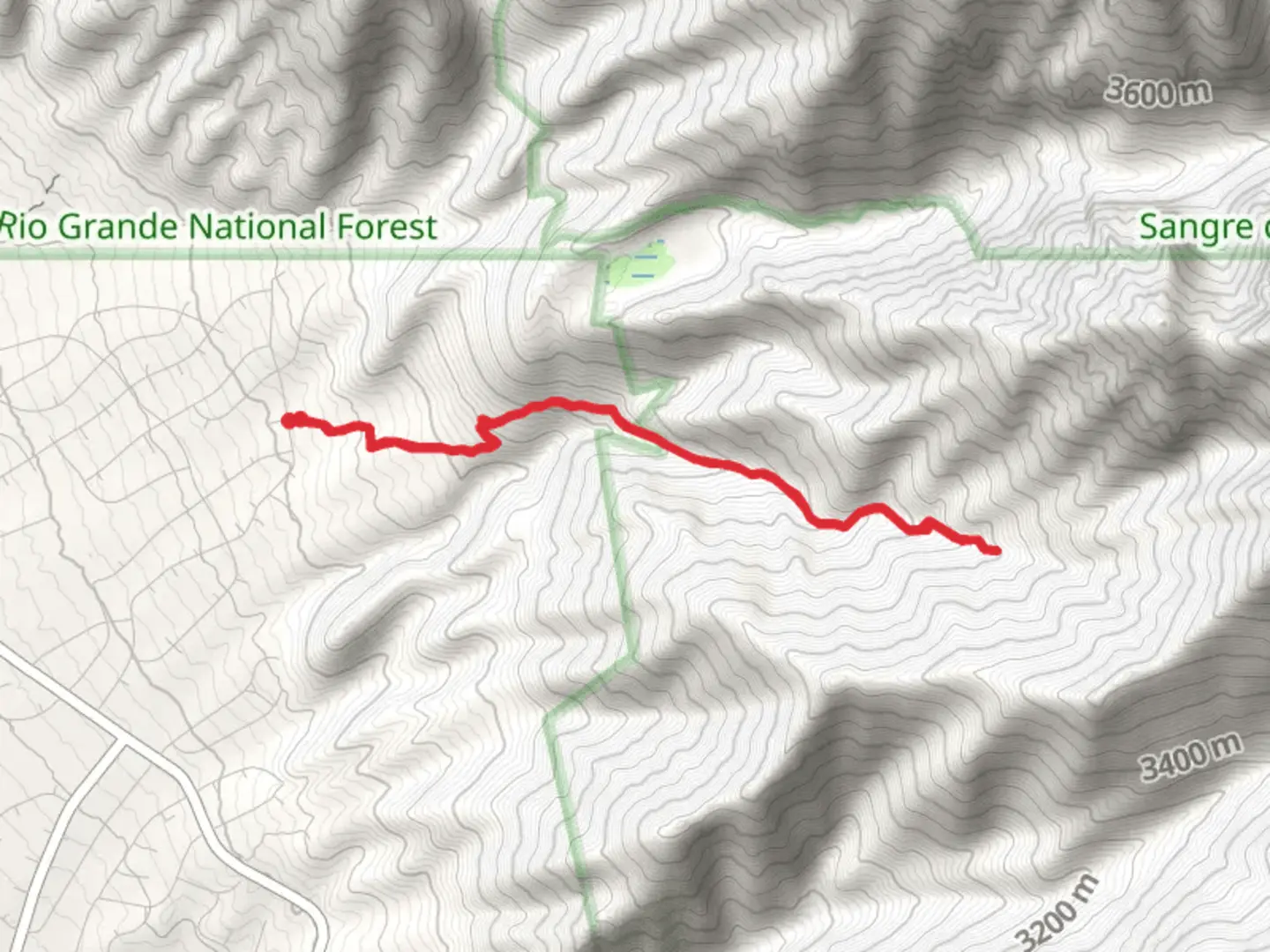
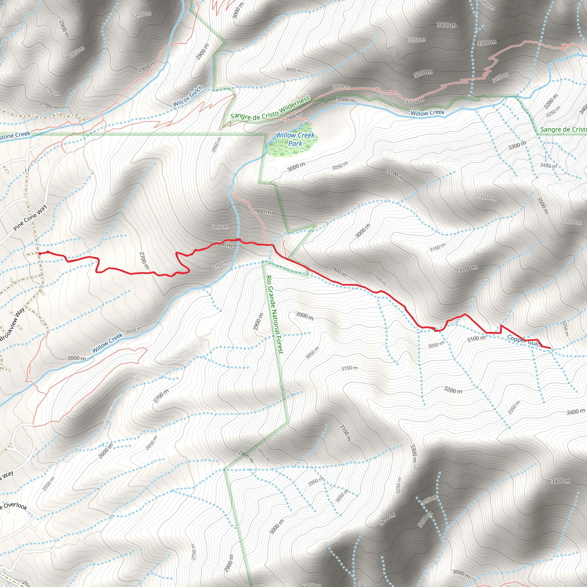
Starting your journey near Saguache County, Colorado, the Copper Gulch Trail offers an invigorating hike with a distance of approximately 8 km (5 miles) and an elevation gain of around 500 meters (1,640 feet). This out-and-back trail is rated as medium difficulty, making it suitable for moderately experienced hikers.
Getting There To reach the trailhead, you can drive or use public transport. If driving, head towards the nearest significant landmark, the town of Villa Grove, Colorado. From Villa Grove, take County Road LL56 westward until you reach the trailhead. For those using public transport, the nearest bus stop is in Villa Grove, from where you can arrange a taxi or rideshare to the trailhead.
Trail Overview The trail begins with a gentle ascent through a mixed forest of pines and aspens. As you progress, the path becomes steeper, offering a moderate challenge. The first significant landmark you'll encounter is a small, serene creek about 1.5 km (0.9 miles) into the hike. This is a great spot to take a short break and enjoy the natural surroundings.
Flora and Fauna The Copper Gulch Trail is rich in biodiversity. Keep an eye out for mule deer and elk, which are commonly seen in this area. Birdwatchers will also be delighted by the variety of species, including the occasional golden eagle soaring overhead. The flora is equally impressive, with wildflowers such as columbines and Indian paintbrushes adding splashes of color to the landscape, especially in the spring and early summer.
Historical Significance This region has a rich history tied to the mining boom of the late 19th century. Copper Gulch itself was a site of significant mining activity, and remnants of old mining equipment and structures can still be seen along the trail. These historical artifacts offer a glimpse into the past and add an educational element to your hike.
Midpoint and Views At approximately 4 km (2.5 miles) in, you'll reach the midpoint of the trail, which offers stunning panoramic views of the surrounding mountains and valleys. This is the perfect spot for a longer rest, a picnic, or simply to take in the breathtaking scenery. The elevation gain to this point is about 250 meters (820 feet), making it a rewarding climb.
Navigation and Safety For navigation, it's highly recommended to use the HiiKER app, which provides detailed maps and real-time updates. The trail is well-marked, but having a reliable navigation tool can enhance your hiking experience and ensure you stay on track. Always carry sufficient water, snacks, and a first-aid kit. Weather can change rapidly in this region, so be prepared with appropriate clothing and gear.
Return Journey The return journey follows the same path back to the trailhead, offering a different perspective on the landscape you traversed earlier. The descent is generally easier but still requires caution, especially on steeper sections.
By the time you complete the Copper Gulch Trail, you'll have experienced a diverse range of natural beauty, historical intrigue, and physical challenge, making it a memorable hike in the heart of Colorado.
What to expect?
Activity types
Comments and Reviews
User comments, reviews and discussions about the Copper Gulch Trail, Colorado.
average rating out of 5
0 rating(s)
