Download
Preview
Add to list
More
3.5 km
~1 hrs 6 min
251 m
Out and Back
“Experience the moderate, scenic, and historically rich 3 km trail near Montrose County, Colorado.”
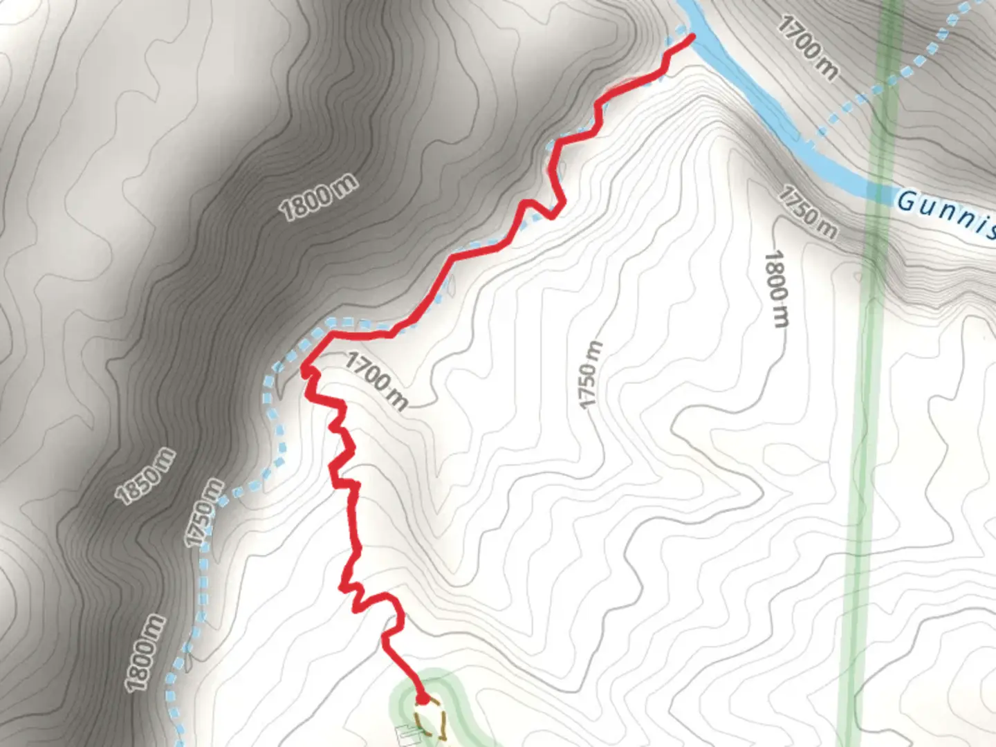
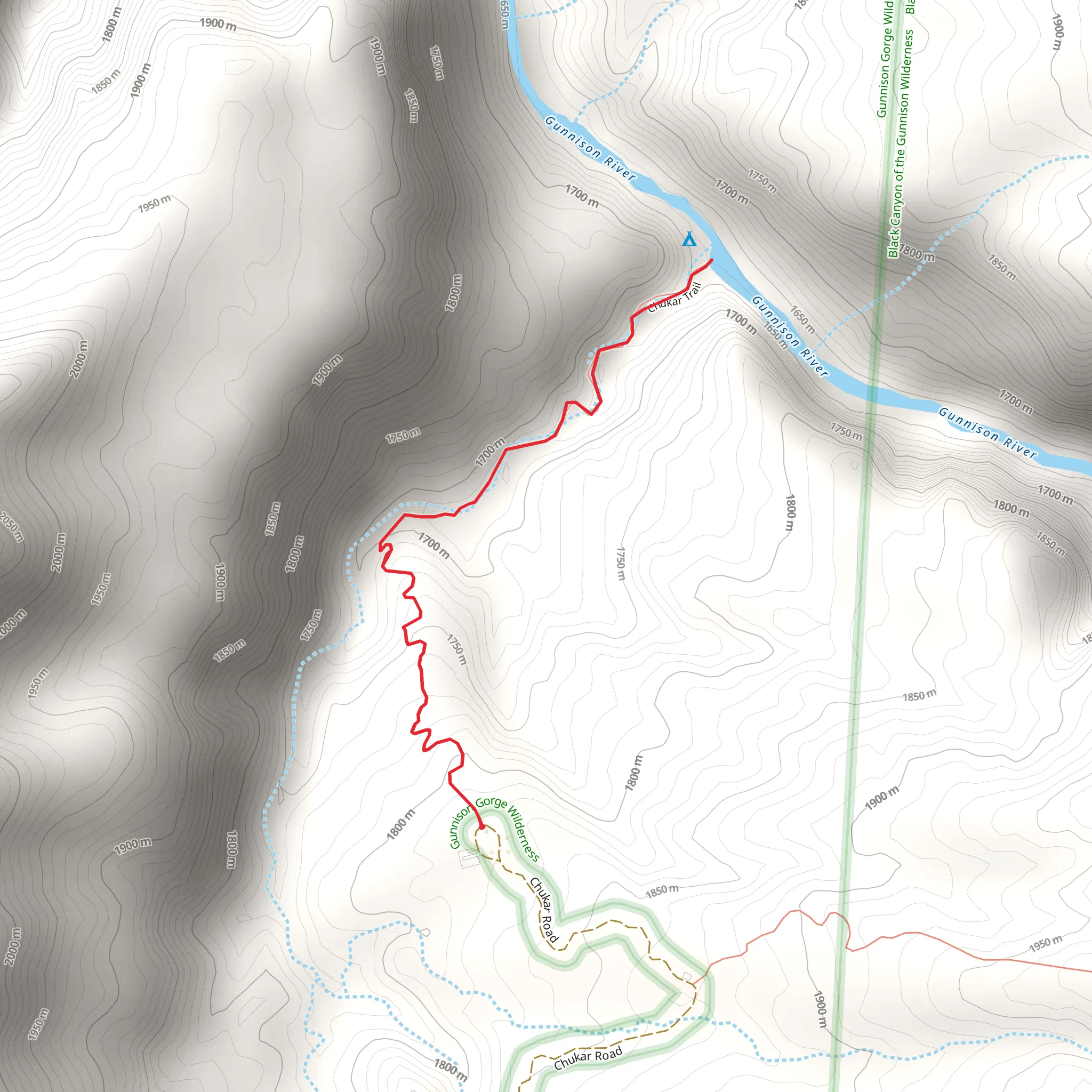
Nestled near Montrose County, Colorado, this 3 km (approximately 1.86 miles) out-and-back trail offers a moderate challenge with an elevation gain of around 200 meters (656 feet). The trailhead is conveniently located near the Chukar Campground, which can be accessed by car. If you're relying on public transport, the nearest significant landmark is the town of Montrose, from where you can arrange a taxi or rideshare to the campground.
Trail Overview
Starting at the Chukar Campground, the trail immediately immerses you in the rugged beauty of Colorado's landscape. The initial section is relatively flat, allowing you to warm up before the ascent begins. As you progress, the trail starts to climb steadily, offering panoramic views of the surrounding area. The elevation gain is gradual but consistent, making it a good workout without being overly strenuous.
Flora and Fauna
The trail is rich in biodiversity. You'll encounter a variety of plant species, including sagebrush, juniper, and pinyon pine. In spring and early summer, wildflowers such as lupine and Indian paintbrush add vibrant splashes of color to the landscape. Wildlife is abundant; keep an eye out for mule deer, rabbits, and a variety of bird species, including hawks and eagles soaring overhead.
Significant Landmarks
About halfway through the trail, you'll come across a scenic overlook that provides a breathtaking view of the Gunnison River. This spot is perfect for a short break and some photography. The river has historical significance as it was a vital waterway for Native American tribes and later for settlers during the westward expansion.
Historical Significance
The region around Montrose County has a rich history. The Ute Indian Tribe originally inhabited the area, and their influence is still evident in various cultural landmarks. The Gunnison River played a crucial role during the gold rush era, serving as a route for miners and settlers. As you hike, you'll be walking through a landscape that has witnessed centuries of human activity and natural evolution.
Navigation and Safety
For navigation, it's highly recommended to use the HiiKER app, which provides detailed maps and real-time updates. The trail is well-marked, but having a reliable navigation tool ensures you stay on track. Always carry sufficient water, especially during the hotter months, and be prepared for sudden weather changes, which are common in Colorado.
Getting There
If you're driving, take U.S. Highway 50 to Montrose and then follow signs to the Chukar Campground. The campground has parking facilities, making it convenient to start your hike. For those using public transport, Montrose is the nearest town with bus services. From Montrose, you can hire a taxi or use a rideshare service to reach the campground.
This trail offers a perfect blend of natural beauty, moderate physical challenge, and historical intrigue, making it a rewarding experience for hikers of all levels.
What to expect?
Activity types
Comments and Reviews
User comments, reviews and discussions about the Chukar Camground, Colorado.
4.63
average rating out of 5
8 rating(s)
