Download
Preview
Add to list
More
35.0 km
~1 day 3 hrs
911 m
Loop
“Embark on the Rabbit Valley Trail for stunning views, ancient rock art, and diverse terrains.”
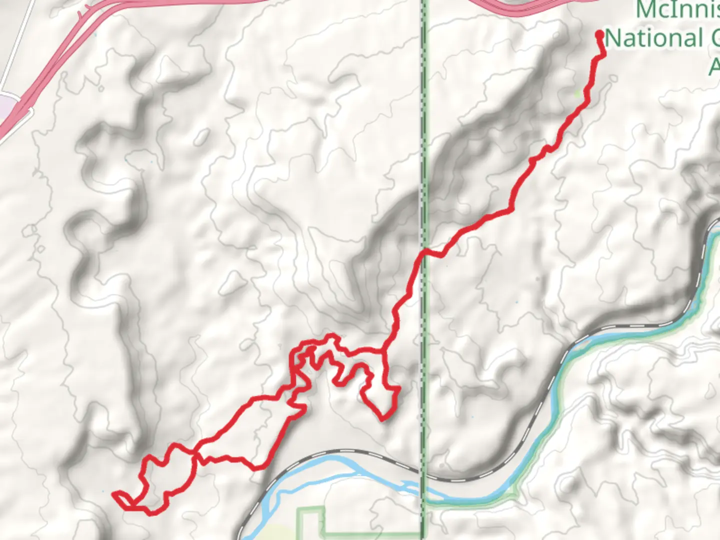
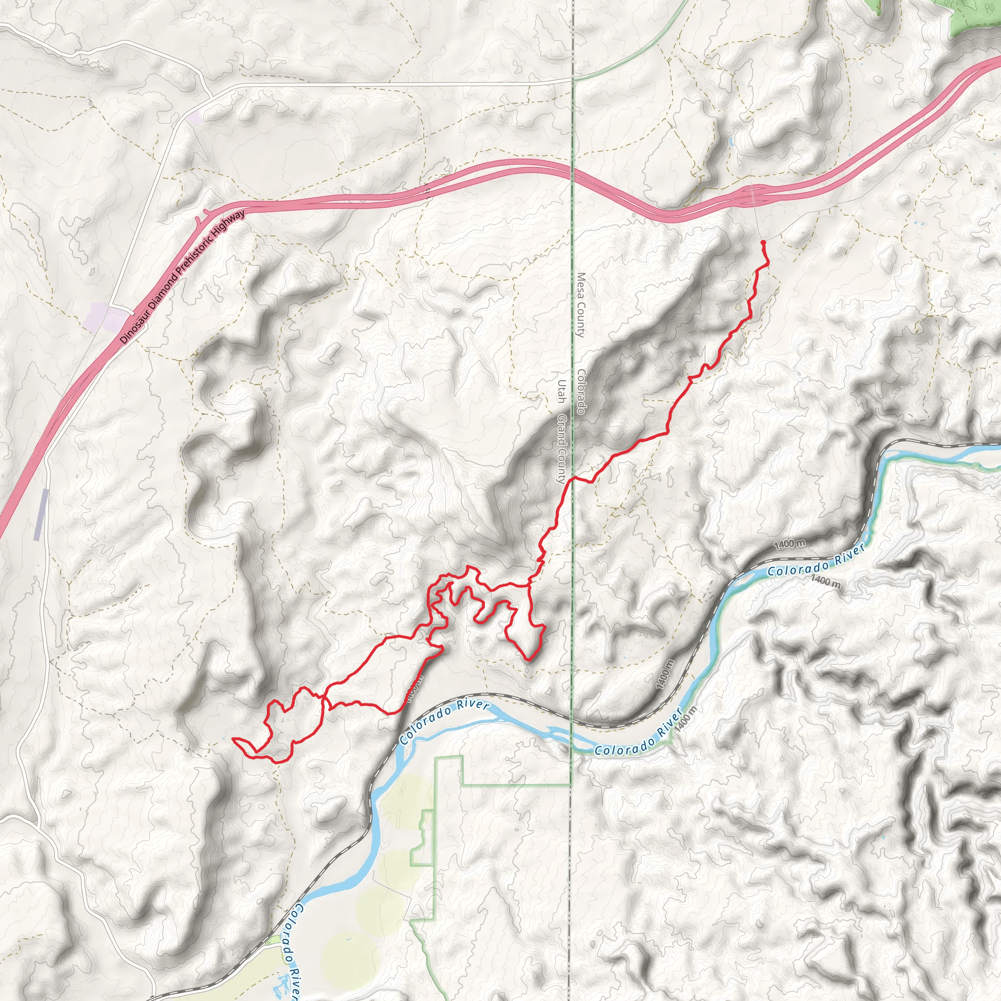
Starting near Mesa County, Colorado, the Rabbit Valley Trail and Western Loop offers a captivating 35 km (around 22 miles) journey through diverse landscapes with an elevation gain of approximately 900 meters (about 2,950 feet). This loop trail is rated as medium difficulty, making it accessible for moderately experienced hikers.### Getting There To reach the trailhead, you can drive or use public transport. If driving, head towards the Rabbit Valley exit off Interstate 70, which is about 30 miles west of Grand Junction, Colorado. The nearest significant landmark is the Rabbit Valley Recreation Area. For those using public transport, the closest major transit hub is Grand Junction, from where you can arrange a taxi or rideshare to the trailhead.### Trail Navigation For navigation, it is highly recommended to use the HiiKER app, which provides detailed maps and real-time updates. The trail is well-marked, but having a reliable navigation tool will ensure you stay on track.### Trail Highlights The trail begins with a gentle ascent, offering panoramic views of the surrounding mesas and canyons. As you progress, you'll encounter a mix of terrains, including rocky paths, sandy stretches, and lush valleys. The first significant landmark is the McDonald Creek Cultural Resource Area, located about 5 km (3 miles) into the hike. This area is rich in Native American petroglyphs and pictographs, offering a glimpse into the region's historical significance.### Flora and Fauna The Rabbit Valley area is home to a variety of plant and animal species. Keep an eye out for sagebrush, juniper, and pinyon pine trees. Wildlife sightings may include mule deer, coyotes, and a variety of bird species such as hawks and eagles. During spring and early summer, the trail is adorned with wildflowers, adding a splash of color to the arid landscape.### Mid-Trail Features Around the 15 km (9 miles) mark, you'll reach the high point of the trail, with an elevation gain of about 450 meters (1,475 feet) from the start. This section offers stunning views of the Colorado River and the La Sal Mountains in the distance. It's an excellent spot for a break and some photography.### Historical Significance The region has a rich history, with evidence of human habitation dating back thousands of years. The McDonald Creek Cultural Resource Area is particularly noteworthy for its ancient rock art, which provides insights into the lives and beliefs of the Native American tribes that once inhabited the area.### Final Stretch As you descend back towards the trailhead, the landscape transitions to open desert plains. The final 10 km (6 miles) are relatively flat, making for a pleasant end to the hike. Be sure to carry enough water, as this section can be quite exposed to the sun.### Practical Tips - Water: Carry at least 3 liters (about 100 ounces) of water per person, as there are no reliable water sources along the trail. - Footwear: Sturdy hiking boots are recommended due to the rocky and uneven terrain. - Weather: Check the weather forecast before you go. The trail can be extremely hot in summer and cold in winter. - Permits: No permits are required for this trail, but it's always good to check for any updates or restrictions.This trail offers a rewarding experience with its mix of natural beauty, historical significance, and moderate challenge. Whether you're a seasoned hiker or looking to step up your hiking game, the Rabbit Valley Trail and Western Loop is a fantastic choice.
What to expect?
Activity types
Comments and Reviews
User comments, reviews and discussions about the Rabbit Valley Trail and Western Loop, Colorado.
4.5
average rating out of 5
4 rating(s)
