Download
Preview
Add to list
More
5.2 km
~1 hrs 17 min
148 m
Out and Back
“Embark on a serene hike through history and nature along the Reservoir 1 Trail in Colorado's high desert.”
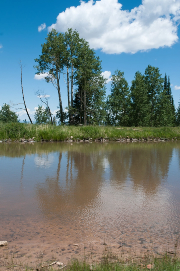
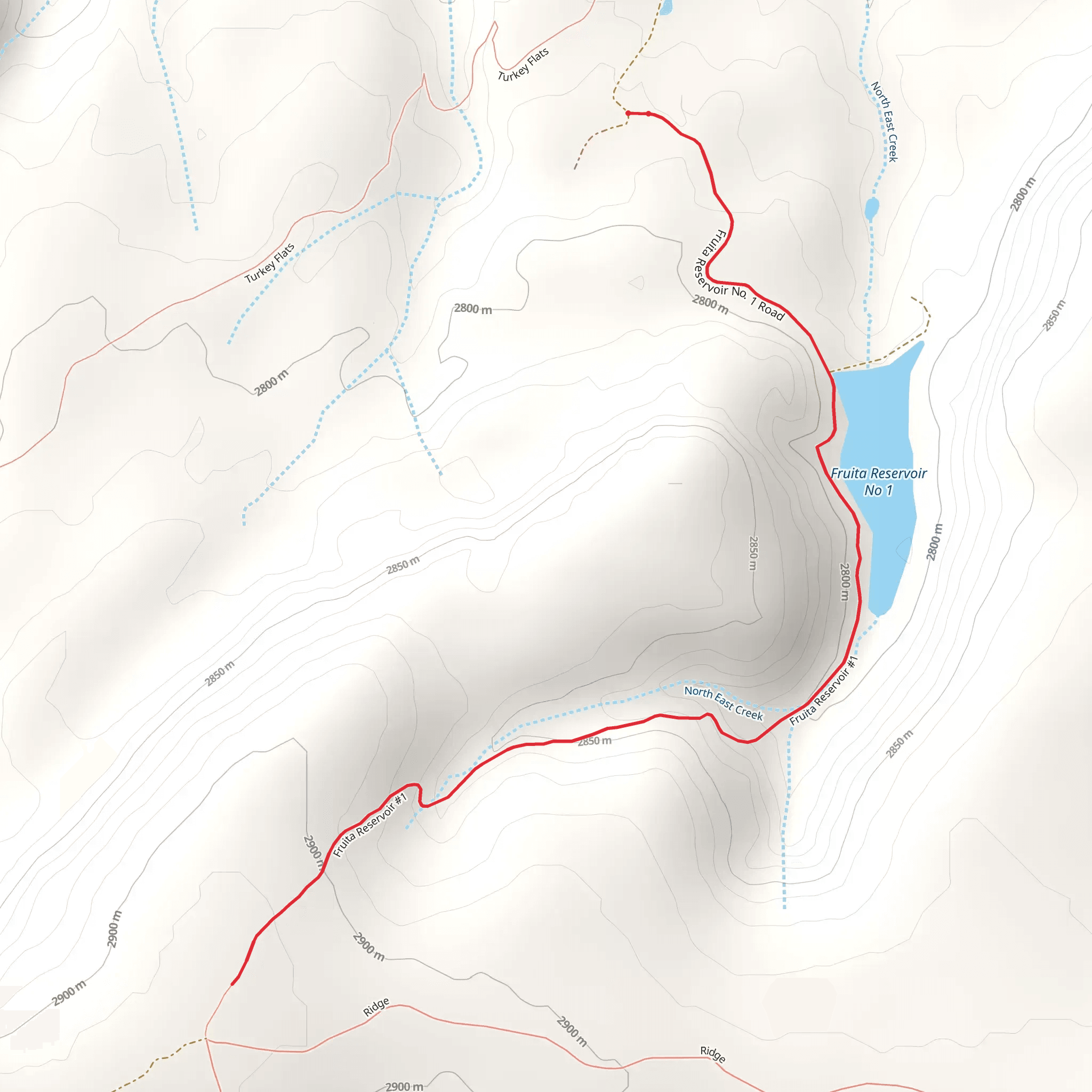
Nestled near Mesa County, Colorado, the Fruita Reservoir Number 1 via Reservoir 1 Trail offers a scenic out-and-back hike that spans approximately 5 kilometers (3.1 miles) with an elevation gain of around 100 meters (328 feet). This medium-difficulty trail is a delightful journey for those looking to explore the natural beauty of the Colorado landscape.Getting to the TrailheadTo reach the trailhead, hikers can drive to the vicinity of the Fruita Reservoirs, located within the McInnis Canyons National Conservation Area. The closest significant landmark is the town of Fruita, from which you can take Monument Road that turns into DS Road and eventually leads to the trailhead. Parking is available near the start of the trail. For those relying on public transportation, options may be limited, and a taxi or rideshare service from Fruita might be the most feasible option to reach the trailhead.The Hike ItselfAs you embark on the Reservoir 1 Trail, you'll be greeted by a landscape that is a mix of high desert terrain and the lush greenery surrounding the reservoir. The trail is well-defined and meanders through a series of gentle inclines and declines. Hikers should be prepared for a few steeper sections that contribute to the trail's medium difficulty rating.Flora and FaunaThe area is home to a diverse range of wildlife, including mule deer, coyotes, and a variety of bird species. The vegetation along the trail is typical of the Colorado Plateau, with pinyon pines and juniper trees providing shade and a fragrant aroma during your hike. Wildflowers add splashes of color in the spring and early summer.Historical SignificanceThe region around the Fruita Reservoirs is steeped in history. The reservoirs themselves were constructed in the early 20th century to provide irrigation water for the agricultural lands in the valley. As you hike, consider the human effort that went into creating these water bodies and how they have shaped the development of the area.Navigational ToolsFor those looking to navigate the trail with ease, the HiiKER app provides detailed maps and GPS coordinates to ensure you stay on the right path. It's a good idea to download the trail map on your device before you set out, as cell service can be spotty in remote areas.Preparation and PlanningBefore heading out, hikers should be prepared with adequate water, sun protection, and sturdy footwear. The trail can be rocky in places, and the high desert climate means that weather conditions can change rapidly. It's also wise to check the weather forecast and start early to avoid the midday heat.Wildlife and SafetyWhile encounters with dangerous wildlife are rare, it's important to be aware of your surroundings and know what to do if you encounter wildlife. Keep a safe distance from any animals you see and do not feed them. Be sure to pack out all trash to keep the trail pristine for future visitors.ConclusionThe Fruita Reservoir Number 1 via Reservoir 1 Trail is a rewarding hike that offers a glimpse into the natural and historical tapestry of Mesa County. Whether you're a local resident or a visitor to the area, this trail provides a wonderful opportunity to experience the beauty of Colorado's outdoors.
Comments and Reviews
User comments, reviews and discussions about the Fruita Reservoir Number 1 via Reservoir 1 Trail, Colorado.
5.0
average rating out of 5
1 rating(s)

