Download
Preview
Add to list
More
13.1 km
~2 hrs 52 min
146 m
Point-to-Point
“"Explore diverse landscapes and rich history on the 13 km Fountain Creek Regional Trail near El Paso County."”
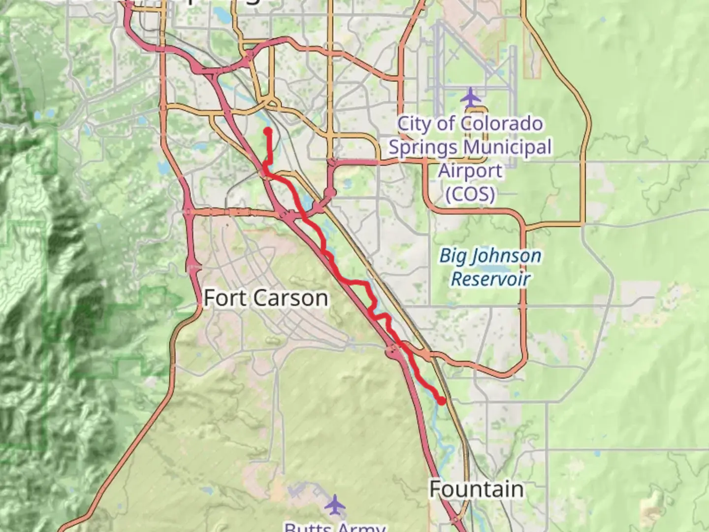
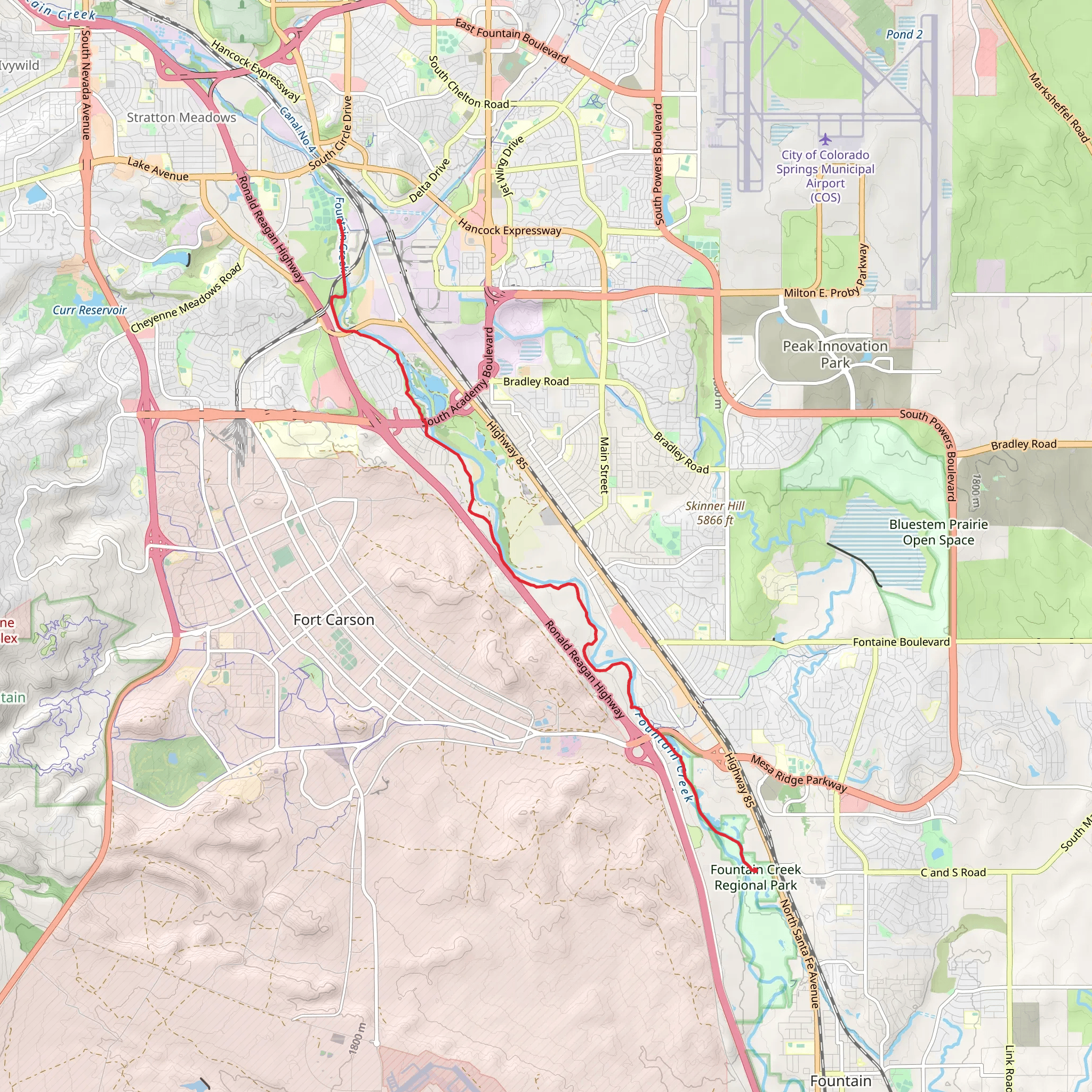
Starting near El Paso County, Colorado, the Fountain Creek Regional Trail stretches approximately 13 kilometers (around 8 miles) and offers a moderate hiking experience with an elevation gain of about 100 meters (328 feet). This point-to-point trail is a delightful journey through diverse landscapes, rich in both natural beauty and historical significance.
Getting There To reach the trailhead, you can drive or use public transportation. If driving, head towards the nearest known address, which is the Fountain Creek Nature Center, located at 320 Peppergrass Ln, Fountain, CO 80817. For those using public transport, the nearest bus stop is at the Fountain Creek Nature Center, serviced by local bus routes.
Trail Overview The trail begins at the Fountain Creek Nature Center, a great starting point where you can gather information about the local flora and fauna. As you set off, the trail meanders through wetlands, cottonwood forests, and open meadows, providing a variety of ecosystems to explore.
Landmarks and Points of Interest - **Fountain Creek Nature Center (0 km / 0 miles):** The starting point offers educational exhibits and a chance to learn about the local environment. - **Duckwood Pond (2 km / 1.2 miles):** A serene spot perfect for birdwatching. Keep an eye out for herons, ducks, and other waterfowl. - **Hanson Nature Park (5 km / 3.1 miles):** This park offers picnic areas and restrooms, making it a good place for a break. - **Willow Springs Ponds (8 km / 5 miles):** Another excellent location for birdwatching and fishing. The ponds are surrounded by lush vegetation, providing a peaceful atmosphere. - **Clear Spring Ranch (13 km / 8 miles):** The endpoint of the trail, this ranch offers expansive views of the surrounding landscape and is a great place to relax after your hike.
Wildlife and Nature The trail is home to a variety of wildlife, including deer, foxes, and numerous bird species. The wetlands are particularly rich in biodiversity, making it a haven for nature enthusiasts. The cottonwood forests provide shade and a cool respite during warmer months.
Historical Significance The region around Fountain Creek has a rich history, dating back to the Native American tribes who originally inhabited the area. The trail itself follows part of the historic route used during the westward expansion of the United States. Along the way, you may encounter informational plaques detailing the history and significance of the area.
Navigation and Safety For navigation, it's recommended to use the HiiKER app, which provides detailed maps and real-time updates. The trail is well-marked, but having a reliable navigation tool can enhance your hiking experience. Always carry sufficient water, wear appropriate footwear, and be prepared for changing weather conditions.
Elevation and Terrain The trail's elevation gain is moderate, with a total ascent of about 100 meters (328 feet). The terrain varies from flat, easy paths to slightly more challenging inclines, making it suitable for hikers of all skill levels. The highest point offers panoramic views of the surrounding area, rewarding your efforts with stunning vistas.
Accessibility The Fountain Creek Regional Trail is accessible year-round, though the best times to visit are during spring and fall when the weather is mild, and the foliage is at its most vibrant. The trail is also dog-friendly, so feel free to bring along your furry friends, but keep them on a leash.
This trail offers a perfect blend of natural beauty, wildlife, and historical intrigue, making it a must-visit for any hiking enthusiast.
What to expect?
Activity types
Comments and Reviews
User comments, reviews and discussions about the Fountain Creek Regional Trail, Colorado.
4.33
average rating out of 5
12 rating(s)
