6.8 km
~1 hrs 58 min
368 m
“Experience the Marcot Park Reservoir trail's blend of natural beauty, historical intrigue, and moderate challenge.”
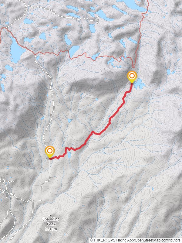
Starting your hike near Delta County, Colorado, the trailhead for the Marcot Park Reservoir via Forest Road 127 is easily accessible by car. If you're using public transport, the nearest significant landmark is the town of Delta, from where you can arrange a taxi or rideshare to the trailhead. The trailhead is located near the intersection of Forest Road 127 and County Road 7, a well-known spot for local hikers.
Trail Overview
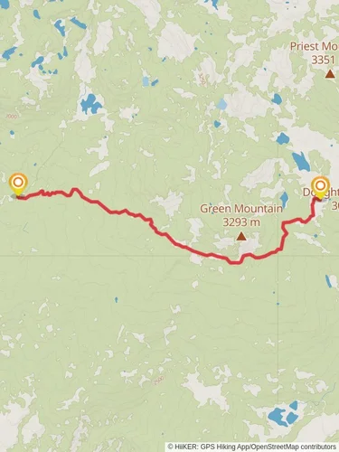
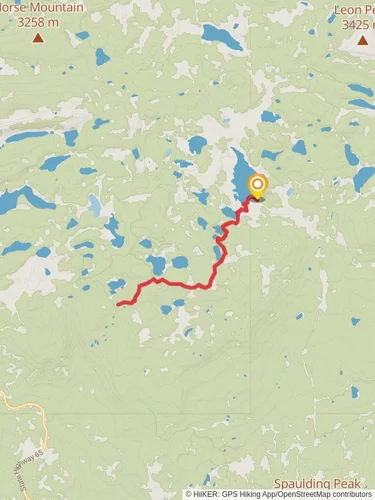
The Marcot Park Reservoir trail spans approximately 7 kilometers (around 4.3 miles) with an elevation gain of about 300 meters (approximately 984 feet). This point-to-point trail is rated as medium difficulty, making it suitable for moderately experienced hikers.
Navigating the Trail
Starting from the trailhead, the initial section of the trail is relatively flat, allowing you to ease into the hike. As you progress, the trail begins to ascend gradually. Make sure to have the HiiKER app downloaded for accurate navigation and real-time updates on the trail conditions.
Significant Landmarks and Nature
At around the 2-kilometer (1.2-mile) mark, you'll encounter a dense forest area, rich with Ponderosa pines and Douglas firs. This section is particularly beautiful in the fall when the foliage changes color. Keep an eye out for local wildlife such as mule deer and various bird species, including the Steller's jay.
As you continue, the trail becomes steeper, gaining most of its elevation between the 3-kilometer (1.9-mile) and 5-kilometer (3.1-mile) marks. This section offers stunning views of the surrounding valleys and distant mountain ranges. Be cautious of loose rocks and uneven terrain here.
Historical Significance
The region around Delta County has a rich history dating back to the Ute tribes who originally inhabited the area. The trail itself passes through lands that were once part of their hunting grounds. Additionally, remnants of old mining operations from the late 19th and early 20th centuries can be spotted along the way, offering a glimpse into the area's industrial past.
Approaching Marcot Park Reservoir
As you near the 6-kilometer (3.7-mile) mark, the trail levels out, leading you through a meadow before reaching the Marcot Park Reservoir. This serene body of water is a perfect spot for a break, offering picturesque views and a chance to spot aquatic birds and other wildlife.
Final Stretch
The last kilometer (0.6 miles) of the trail is a gentle descent towards the endpoint. This section is relatively easy, allowing you to cool down as you finish your hike. The endpoint is near another access road, where you can arrange for a pickup or continue exploring the surrounding trails.
Preparation Tips
Ensure you carry enough water, especially during the summer months, as the trail can get quite warm. A good pair of hiking boots is essential due to the varied terrain. Always check the weather forecast before heading out and consider downloading offline maps on HiiKER for added security.
This trail offers a mix of natural beauty, historical intrigue, and moderate physical challenge, making it a rewarding experience for those who venture out.
Reviews
User comments, reviews and discussions about the Marcot Park Reservoir via Forest Road 127, Colorado.
4.0
average rating out of 5
2 rating(s)


