Download
Preview
Add to list
More
3.7 km
~46 min
25 m
Loop
“Discover the picturesque Broomfield Commons Loop, a welcoming Colorado trail with diverse nature and rich history.”
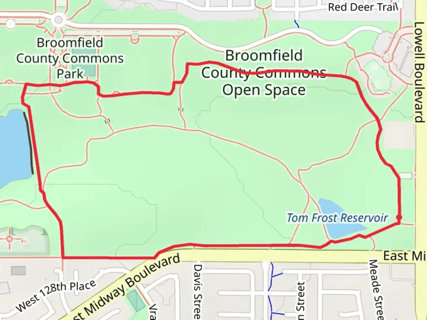
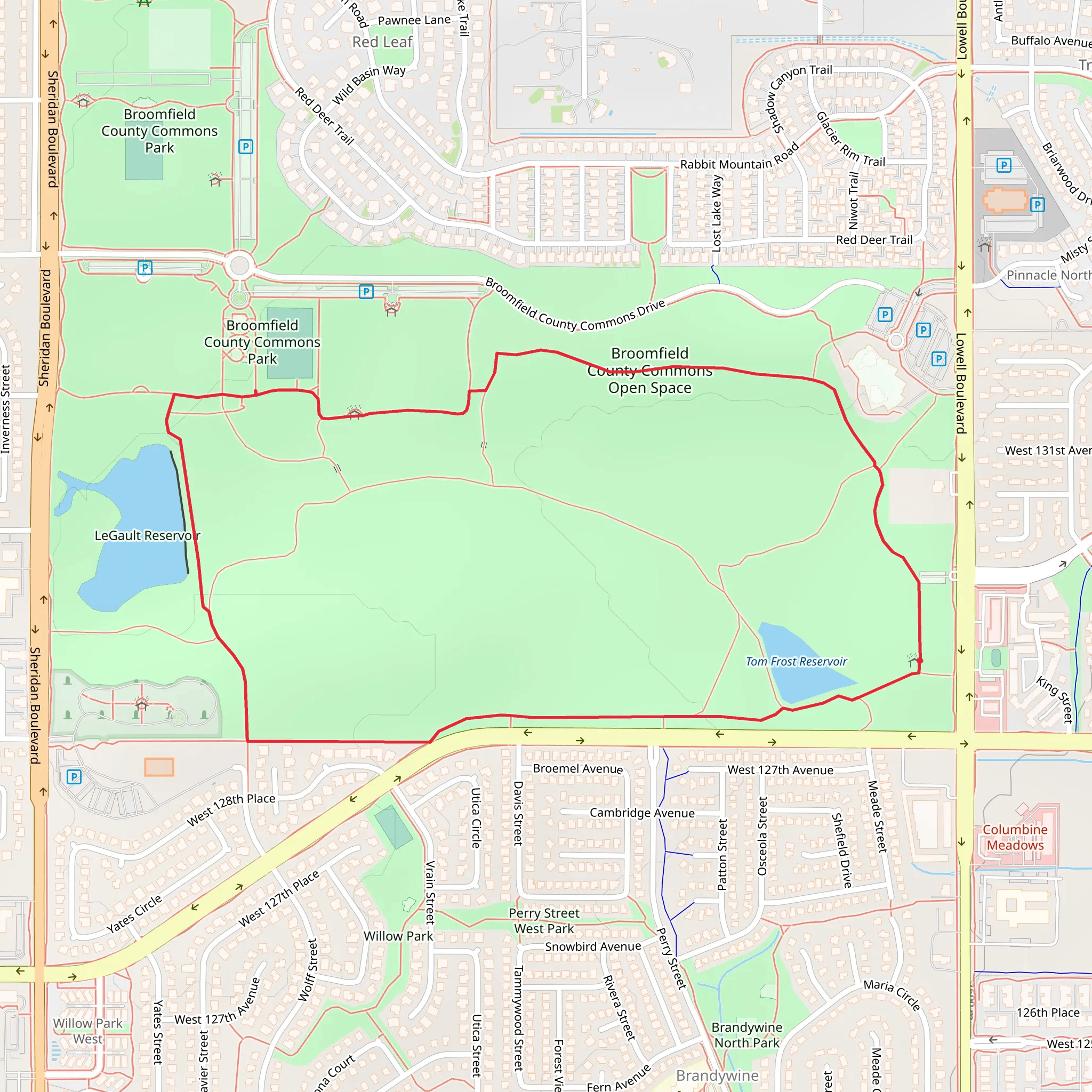
Nestled in the heart of Broomfield County, Colorado, the Broomfield County Commons Open Space Loop is a scenic 4 km (approximately 2.5 miles) trail that offers a delightful outdoor experience with minimal elevation gain, making it accessible for hikers of various skill levels. The loop is characterized by its gentle terrain and is estimated to have a medium difficulty rating due to its length and exposure to the elements.Getting ThereTo reach the trailhead, hikers can drive to the Broomfield County Commons Park, located at the intersection of Sheridan Boulevard and West 132nd Avenue. Parking is available at the park, which serves as a convenient starting point for the loop. For those opting for public transportation, local bus services provide access to the area, with stops within walking distance to the park entrance.Trail ExperienceUpon embarking on the trail, hikers are greeted with a well-maintained path that meanders through open grasslands and offers panoramic views of the Front Range mountains. The trail is a mix of gravel and dirt paths, with occasional boardwalks and paved sections, providing a variety of walking surfaces.Flora and FaunaAs you traverse the loop, you'll be surrounded by a diverse array of plant life, including native grasses and wildflowers that bloom in the warmer months, adding a splash of color to the landscape. The open space is also home to a variety of wildlife, such as prairie dogs, rabbits, and numerous bird species. Birdwatchers may want to bring binoculars to catch a glimpse of hawks or the occasional bald eagle soaring above.Historical SignificanceThe region around Broomfield holds historical significance as part of the larger Denver metropolitan area, with a rich history of agriculture and settlement that dates back to the mid-19th century. While hiking the loop, one can reflect on the transformation of this landscape from its early days of farming and ranching to the present-day recreational space.NavigationFor those seeking to navigate the trail with precision, the HiiKER app provides detailed maps and GPS coordinates to ensure you stay on the right path. The app can also help you identify key landmarks and points of interest along the route.Preparation and PlanningBefore setting out, hikers should prepare for the open exposure of the trail by bringing sunscreen, a hat, and sufficient water, especially during the summer months. The weather in Colorado can change rapidly, so it's wise to pack layers and be prepared for varying conditions. Although the trail is relatively short, comfortable walking shoes are recommended for the best experience.Remember to respect the natural environment by staying on designated paths and practicing Leave No Trace principles. This will help preserve the beauty and integrity of the Broomfield County Commons Open Space for future visitors to enjoy.
What to expect?
Activity types
Comments and Reviews
User comments, reviews and discussions about the Broomfield County Commons Open Space Loop, Colorado.
4.43
average rating out of 5
7 rating(s)
