Download
Preview
Add to list
More
1.8 km
~30 min
87 m
Out and Back
“Embark on the Panther Meadows Trail for a spiritual journey through Mount Shasta's alpine beauty and cultural reverence.”
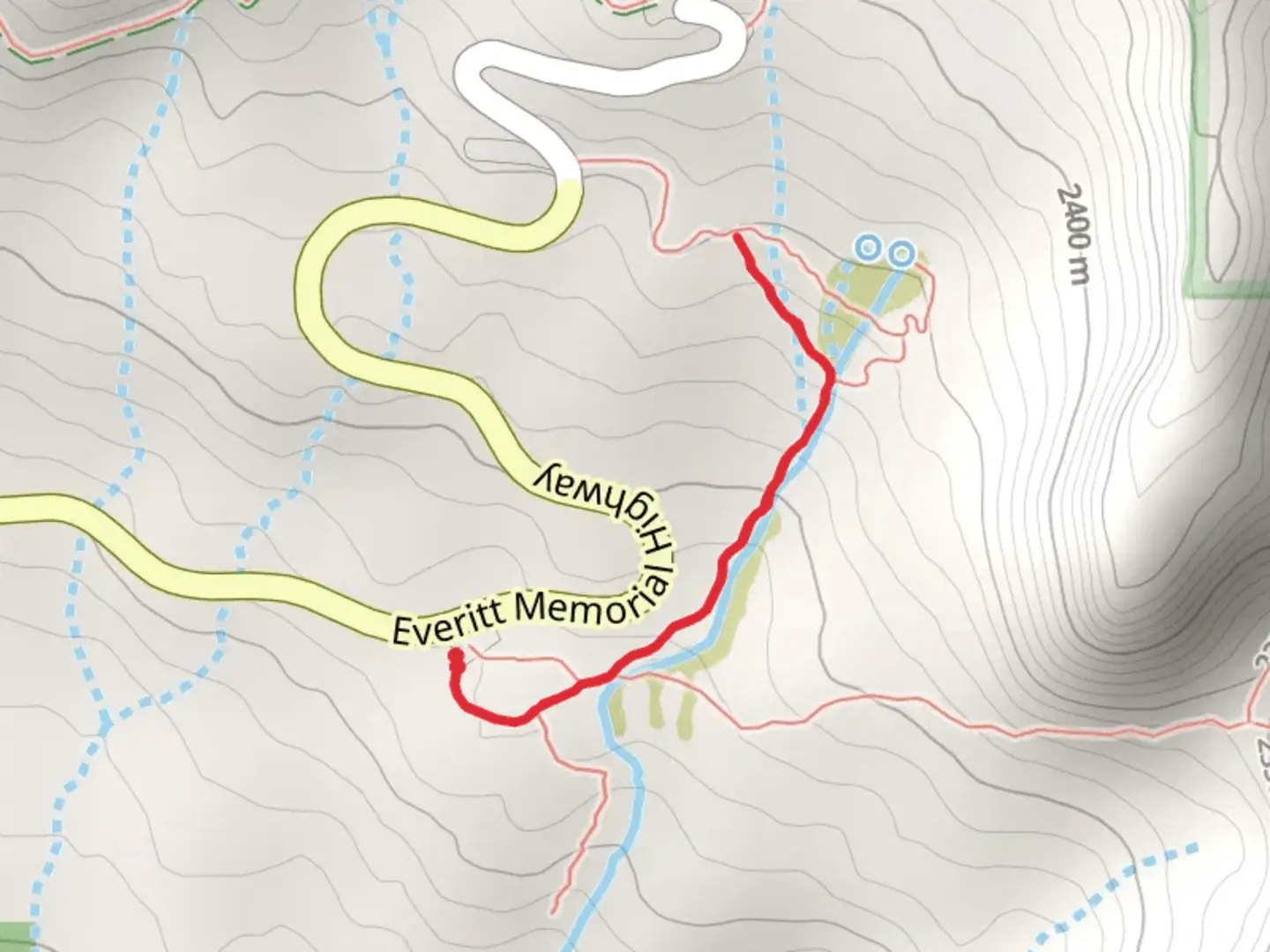
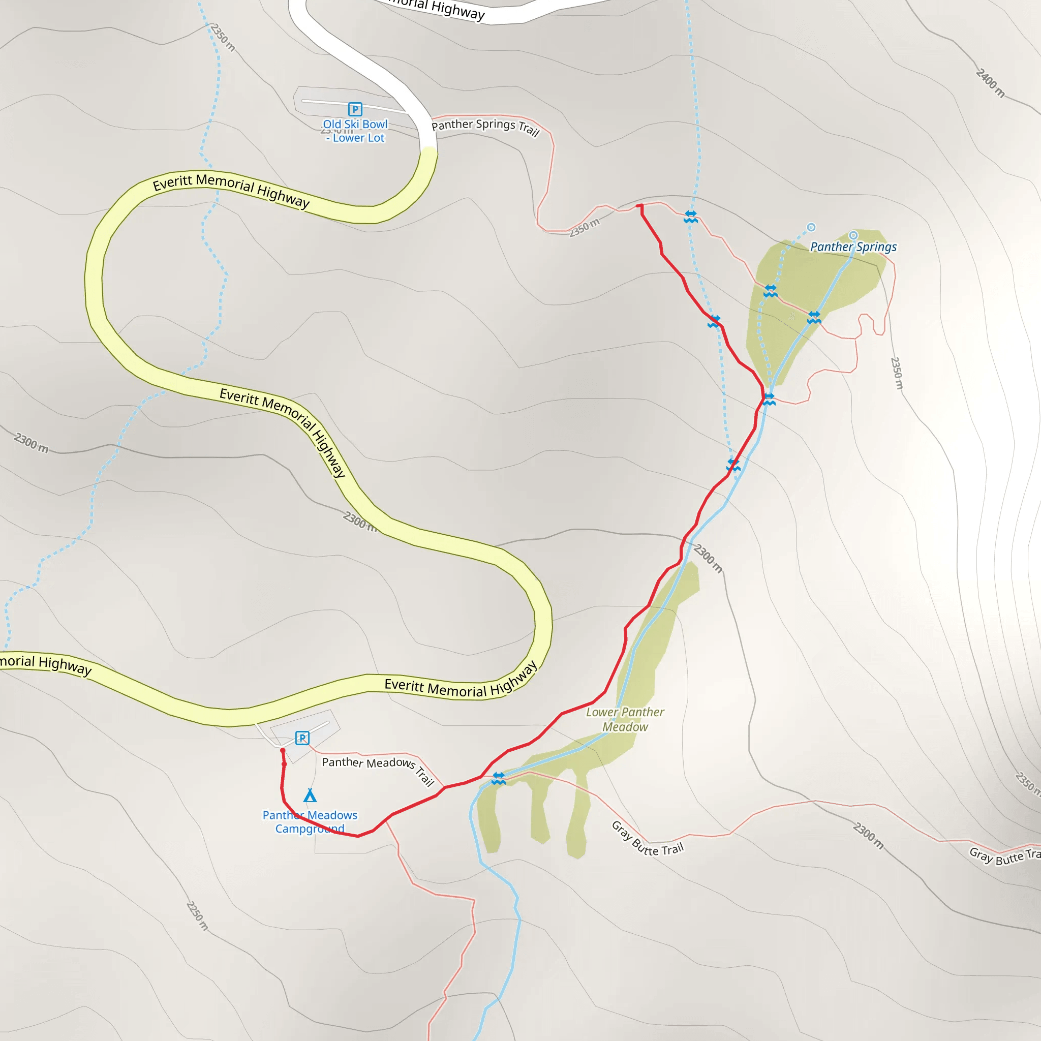
Nestled near the base of Mount Shasta in Siskiyou County, California, the Panther Meadows Trail offers a serene hiking experience through a landscape rich with spiritual significance and natural beauty. This approximately 2 km (1.24 miles) out-and-back trail boasts a relatively flat terrain, with an elevation gain close to zero, making it accessible to hikers of varying abilities, though it is rated medium in difficulty due to the high altitude and potential for snow.
Getting to the Trailhead
To reach the trailhead, hikers can drive to the Everitt Memorial Highway, which winds its way up the slopes of Mount Shasta. The trailhead is located just off this road, not far from the city of Mount Shasta. There is no direct public transportation to the trailhead, so access by car is the most feasible option. Parking is available near the trailhead, and from there, the path is clearly marked.
The Hike Itself
As you embark on the Panther Meadows Trail, you'll be enveloped by a mix of high alpine and subalpine ecosystems. The trail meanders through old-growth forests, home to a variety of conifers such as Red Fir and Mountain Hemlock. The understory is dotted with wildflowers, particularly in the late spring and early summer, offering a colorful display of lupines, Indian paintbrush, and mule's ears.
Historical and Cultural Significance
Panther Meadows is not only a natural retreat but also a site of deep historical and cultural importance. It is considered a sacred site by the Native American tribes of the area, particularly the Wintu tribe, who have used the area for spiritual practices for thousands of years. Hikers are reminded to respect the land and its cultural significance by staying on designated trails and practicing Leave No Trace principles.
Wildlife and Landmarks
The trail provides opportunities to spot local wildlife, including deer, various bird species, and if you're lucky, you might catch a glimpse of the elusive black bear, though they tend to steer clear of well-traveled paths. As you approach the meadows, the landscape opens up to reveal stunning views of Mount Shasta's snow-capped peak. The meadows themselves are a tranquil spot, perfect for a mid-hike rest, with the sound of trickling streams that feed into the area's delicate wetlands.
Navigation and Preparation
Before heading out, hikers should download the HiiKER app to access the trail map and ensure they stay on the correct path. The trail is best hiked from June to October when the snow has melted, and the meadows are in full bloom. However, due to the high elevation, weather can change rapidly, so it's essential to be prepared with appropriate clothing and gear. Even in the summer months, temperatures can drop, and afternoon thunderstorms are not uncommon.
Final Reminders
Remember to carry enough water, as there are no reliable sources along the trail, and be prepared for the high altitude, which can affect even the most experienced hikers. Lastly, while the trail is not particularly challenging in terms of elevation gain, the altitude and potential for snow patches make it a medium difficulty hike, so take your time and enjoy the natural splendor of Panther Meadows.
What to expect?
Activity types
Comments and Reviews
User comments, reviews and discussions about the Panther Meadows Trail Out and Back, California.
4.33
average rating out of 5
3 rating(s)
