Angelus Oaks to Forest Falls via San Bernardino Peak Trail
Download
Preview
Add to list
More
41.0 km
~2 day
2749 m
Point-to-Point
“Embark on a breathtaking adventure through the historic and wildlife-rich San Bernardino Mountains.”
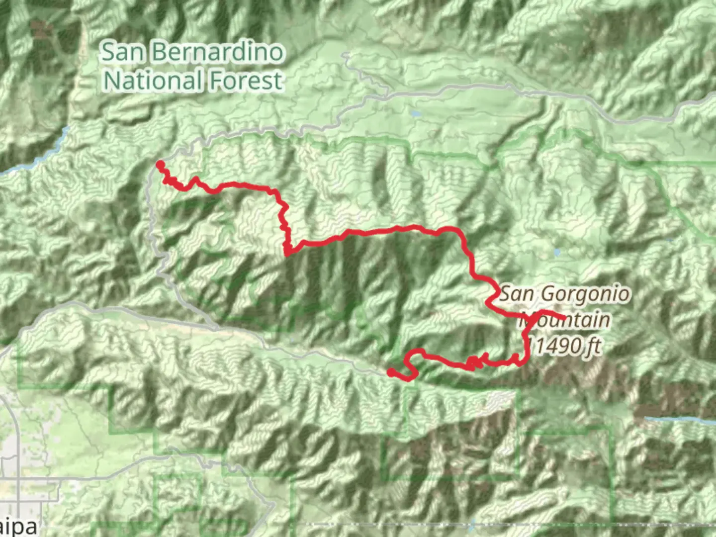
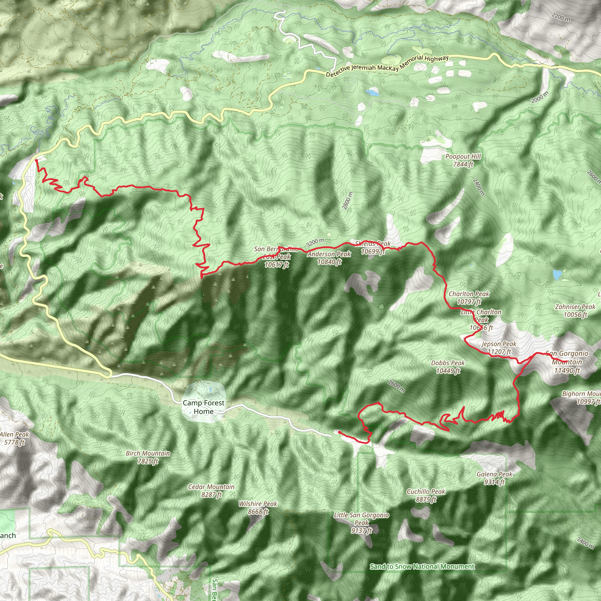
Starting your journey near San Bernardino County, California, the Angelus Oaks to Forest Falls via San Bernardino Peak Trail is a challenging yet rewarding adventure. This point-to-point trail stretches approximately 41 kilometers (about 25.5 miles) with an elevation gain of around 2,700 meters (approximately 8,860 feet), offering hikers a demanding trek through the stunning San Bernardino Mountains.
Getting There
To reach the trailhead, you can drive or use public transportation. If driving, head towards Angelus Oaks, located along Highway 38. The trailhead is accessible from the San Bernardino Peak Divide Trailhead, which is a short drive from the town center. For those using public transport, you can take a bus to Angelus Oaks from San Bernardino, though services may be limited, so checking the schedule in advance is advisable.
Trail Overview
The trail begins with a steady ascent, immediately immersing you in the dense forest of pine and fir trees. As you climb, the trail offers breathtaking views of the surrounding valleys and distant peaks. The first significant landmark is Limber Pine Bench, located about 6 kilometers (3.7 miles) in, where you can take a moment to rest and enjoy panoramic views.
Historical Significance
This region holds historical significance as it was once traversed by Native American tribes and later by early settlers. The San Bernardino Mountains have long been a source of natural resources and a refuge from the heat of the valleys below. The trail itself is part of the historic route used by early explorers and settlers moving through the region.
Wildlife and Nature
As you continue your ascent, keep an eye out for the diverse wildlife that inhabits the area. You may encounter mule deer, black bears, and a variety of bird species, including the majestic golden eagle. The flora is equally impressive, with wildflowers dotting the landscape in spring and summer, adding vibrant colors to your journey.
Reaching the Summit
Approximately 16 kilometers (10 miles) into the hike, you'll reach the summit of San Bernardino Peak. At an elevation of 3,263 meters (10,702 feet), the peak offers unparalleled views of the Inland Empire and, on clear days, even the distant Pacific Ocean. This is a perfect spot for a well-deserved break and some memorable photos.
Descent to Forest Falls
The descent towards Forest Falls is equally challenging, with steep sections that require careful navigation. The trail winds through lush forests and offers glimpses of cascading waterfalls, especially during the spring melt. As you approach Forest Falls, the sound of rushing water becomes more prominent, signaling the end of your journey.
Navigation and Safety
Given the trail's difficulty, it's crucial to be well-prepared. Ensure you have a reliable navigation tool like HiiKER to track your progress and stay on course. Weather conditions can change rapidly, so pack appropriate gear, including layers, rain protection, and plenty of water. Always inform someone of your plans and expected return time.
This trail offers a challenging yet unforgettable experience, showcasing the natural beauty and historical richness of the San Bernardino Mountains.
What to expect?
Activity types
Comments and Reviews
User comments, reviews and discussions about the Angelus Oaks to Forest Falls via San Bernardino Peak Trail, California.
average rating out of 5
0 rating(s)
