Download
Preview
Add to list
More
4.6 km
~59 min
49 m
Out and Back
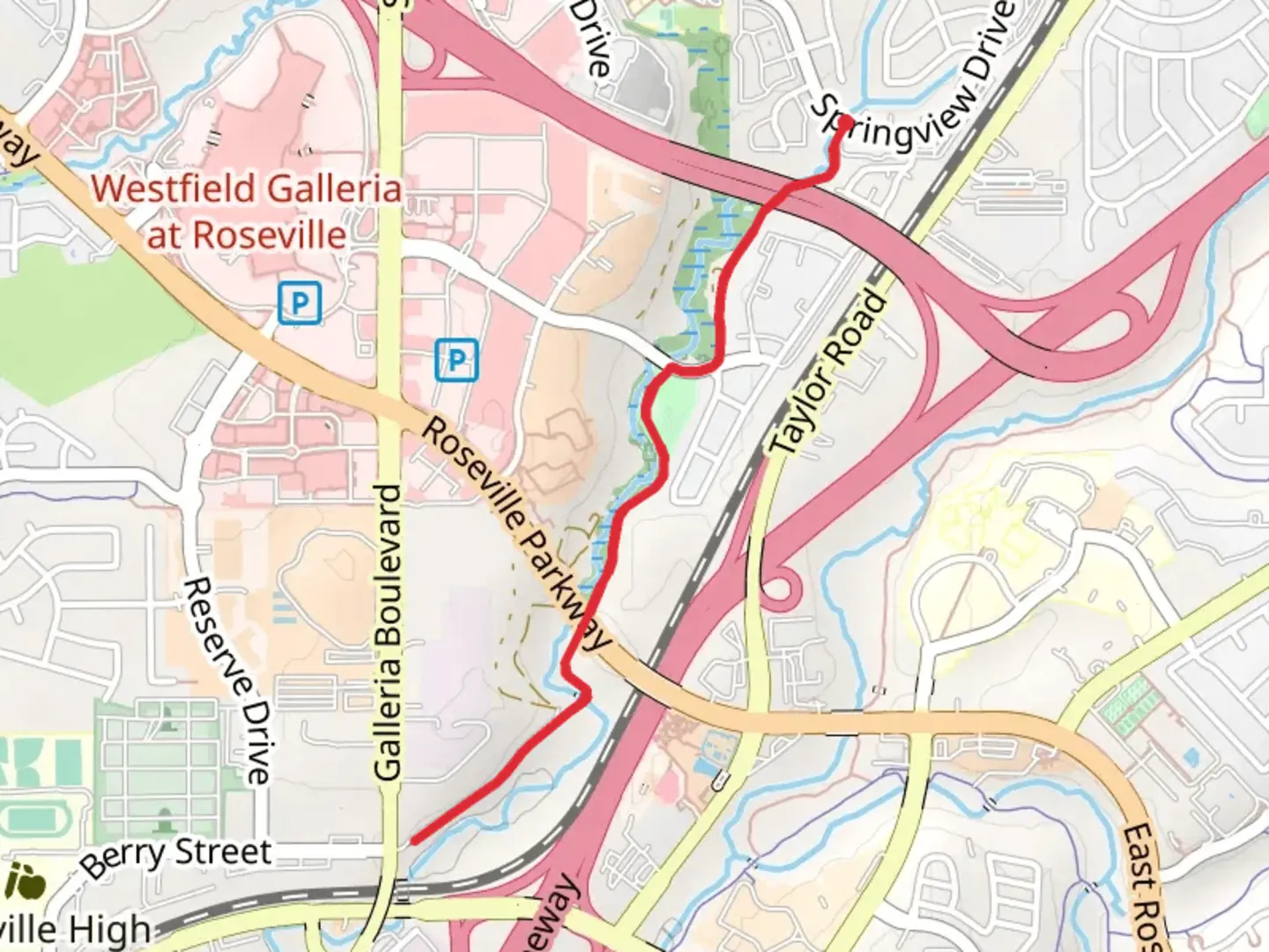
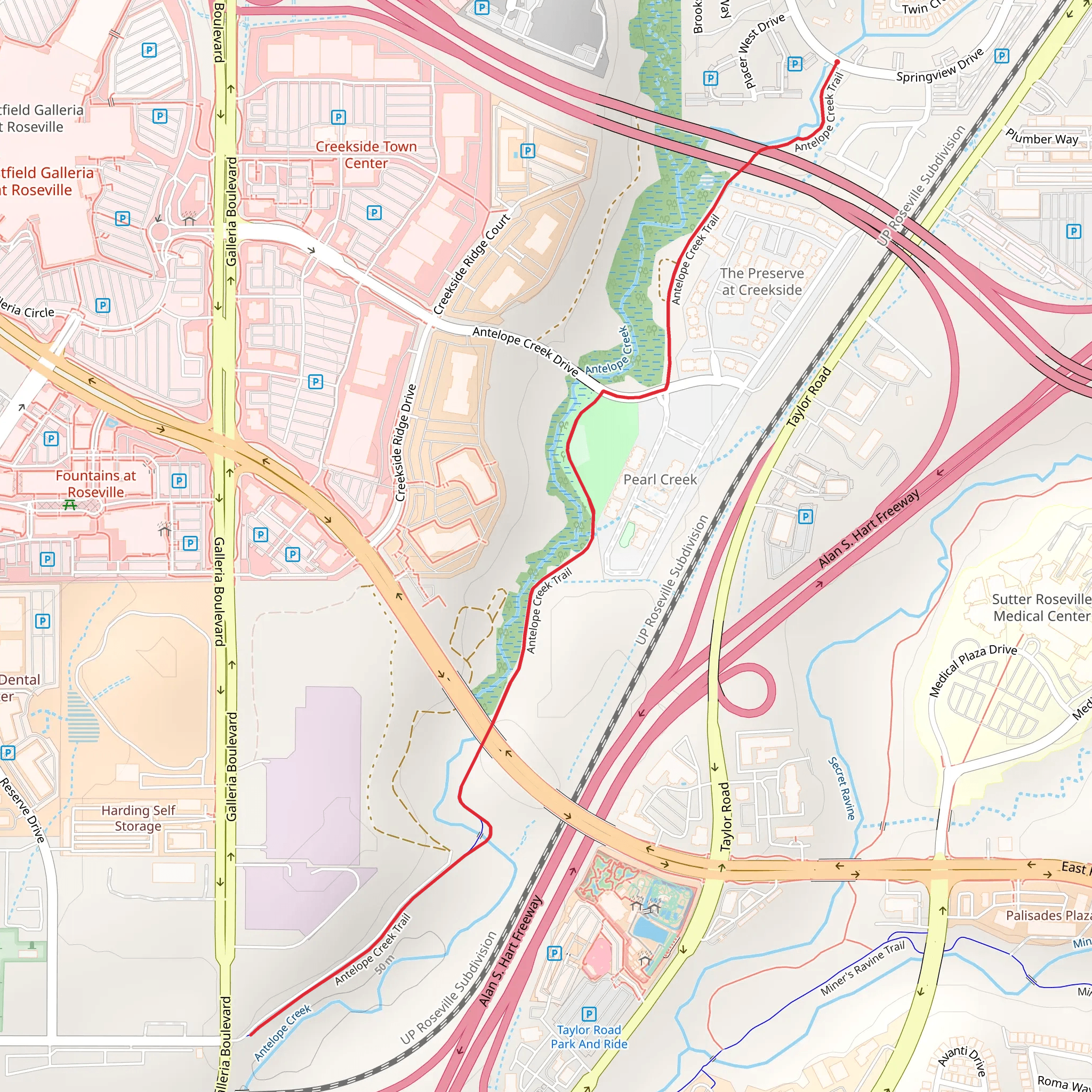
“The Antelope Creek Trail is a serene, accessible hike with lush scenery and rich wildlife near Placer County.”
Starting near Placer County, California, the Antelope Creek Trail offers a serene 5 km (approximately 3.1 miles) out-and-back hike with no significant elevation gain, making it accessible for a wide range of hikers. The trailhead is conveniently located near the intersection of Antelope Road and Walerga Road, which is easily accessible by car. For those relying on public transport, the nearest bus stop is at Antelope Road and Walerga Road, serviced by Placer County Transit.
Trail Overview
The Antelope Creek Trail meanders through a picturesque landscape characterized by lush greenery and the gentle flow of Antelope Creek. The trail is well-marked and maintained, making navigation straightforward. For those who prefer digital navigation tools, the HiiKER app provides detailed maps and real-time updates.
Key Landmarks and Natural Features
- Antelope Creek: The trail closely follows the creek, offering numerous opportunities to enjoy the soothing sounds of flowing water. Keep an eye out for small waterfalls and natural pools, especially after a rainy season. - Wildlife: The area is home to a variety of wildlife, including deer, rabbits, and numerous bird species. Early morning or late afternoon hikes increase the chances of wildlife sightings. - Flora: The trail is lined with native Californian plants such as oak trees, manzanita, and wildflowers, particularly vibrant in the spring.
Historical Significance
Placer County has a rich history dating back to the California Gold Rush. While the Antelope Creek Trail itself may not have direct historical landmarks, the surrounding area is steeped in history. Nearby towns like Auburn and Colfax were significant during the Gold Rush era, and remnants of this period can still be explored in local museums and historical sites.
Getting There
- By Car: From Sacramento, take I-80 East towards Reno and exit at Antelope Road. Continue on Antelope Road until you reach the intersection with Walerga Road. Parking is available near the trailhead. - By Public Transport: Placer County Transit offers bus services that stop at Antelope Road and Walerga Road. From the bus stop, it's a short walk to the trailhead.
Trail Conditions and Safety
The trail is generally flat with a well-compacted dirt surface, making it suitable for hikers of all skill levels. However, be mindful of the following:
- Weather: Check the weather forecast before heading out. The trail can become muddy and slippery after rain. - Wildlife: While encounters with wildlife are generally safe, it's advisable to keep a respectful distance and not feed any animals. - Hydration and Snacks: Bring sufficient water and snacks, especially during warmer months. There are no facilities along the trail.
Navigation
For those who prefer digital assistance, the HiiKER app is an excellent tool for navigating the Antelope Creek Trail. It provides detailed maps, elevation profiles, and real-time updates to ensure a smooth hiking experience.
The Antelope Creek Trail offers a peaceful escape into nature, with the added benefit of being easily accessible from urban areas. Whether you're a seasoned hiker or a beginner, this trail provides a delightful experience with its natural beauty and historical backdrop.
What to expect?
Activity types
Comments and Reviews
User comments, reviews and discussions about the Antelope Creek Trail, California.
4.5
average rating out of 5
6 rating(s)
