Download
Preview
Add to list
More
16.0 km
~3 hrs 44 min
323 m
Loop
“Embark on Towle Mill Loop Trail's 10-mile journey through history and diverse Californian vistas.”
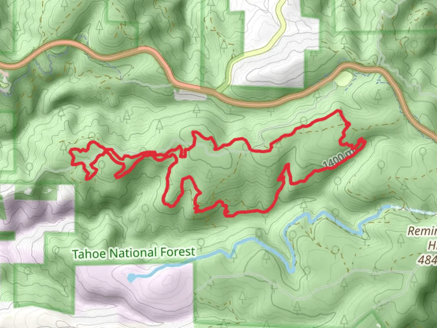
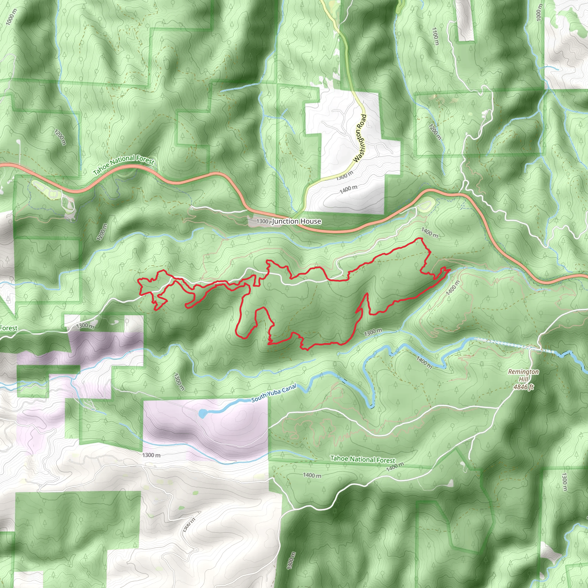
The Towle Mill Loop Trail, nestled in the scenic landscapes of Nevada County, California, offers hikers a moderately challenging experience through a diverse array of environments. Spanning approximately 16 kilometers (about 10 miles) with an elevation gain of around 300 meters (roughly 980 feet), this loop trail is a delightful journey for those looking to immerse themselves in nature.
Getting to the Trailhead
To reach the trailhead, hikers can drive to the starting point located near the historic town of Nevada City. If you're coming from Sacramento, take I-80E to CA-49N towards Grass Valley/Nevada City. After about an hour's drive, you'll reach the vicinity of the trailhead. There is no direct public transportation to the trail, so a personal vehicle or taxi service is necessary for the final leg of the journey.
Navigating the Trail
Once at the trailhead, hikers can use the HiiKER app to navigate the loop, ensuring they stay on the correct path. The trail is well-marked, but having a digital tool can provide additional peace of mind and information about the trail as you progress.
Trail Experience
As you embark on the Towle Mill Loop Trail, you'll be greeted by a mixed forest canopy, with towering pines and oaks providing ample shade. The first few kilometers are a gentle ascent, allowing you to warm up as you take in the serene surroundings. The sound of birdsong accompanies you as you might spot local wildlife such as deer, squirrels, and various bird species.
Historical Significance
The region holds historical significance, with the trail itself named after an old mill site. Nevada County was a hub during the California Gold Rush, and as you hike, you'll be walking paths that miners may have traversed in search of fortune. Keep an eye out for remnants of the past, including old mine shafts (which should be viewed from a safe distance) and machinery parts engulfed by the forest over time.
Landmarks and Scenery
Midway through the hike, you'll encounter the South Yuba River, which offers a picturesque spot for a rest or a picnic. The river's clear waters are a refreshing sight, and in the warmer months, you might see hikers cooling off in the shallows.
As you continue, the trail begins to ascend more steeply, providing a good workout. At the highest points, you'll be rewarded with sweeping views of the surrounding hills and valleys. The descent back towards the trailhead is gradual, allowing for a leisurely pace to reflect on the journey.
Preparation and Safety
Before setting out, ensure you have enough water, as there are limited sources along the trail, and pack snacks or a lunch for energy. Wear sturdy hiking boots, as the terrain can be uneven, and check the weather forecast to dress appropriately. It's also wise to carry a basic first aid kit and a charged phone with the HiiKER app downloaded for navigation and trail information.
Flora and Fauna
The Towle Mill Loop Trail is home to a rich biodiversity. In spring and early summer, the trail is lined with wildflowers, including lupines and poppies. The changing seasons bring a kaleidoscope of colors, making the trail a year-round destination for nature enthusiasts.
Conclusion
Remember to leave no trace, respecting the natural beauty and historical significance of the Towle Mill Loop Trail. With proper preparation and a sense of adventure, hikers will find this trail to be a rewarding experience that offers a glimpse into California's natural and historical treasures.
What to expect?
Activity types
Comments and Reviews
User comments, reviews and discussions about the Towle Mill Loop Trail, California.
average rating out of 5
0 rating(s)
