Download
Preview
Add to list
More
23.4 km
~2 days
1066 m
Multi-Day
“Embark on the Black Cone Trail, a treacherous yet stunning trek through diverse Californian wilderness and history.”
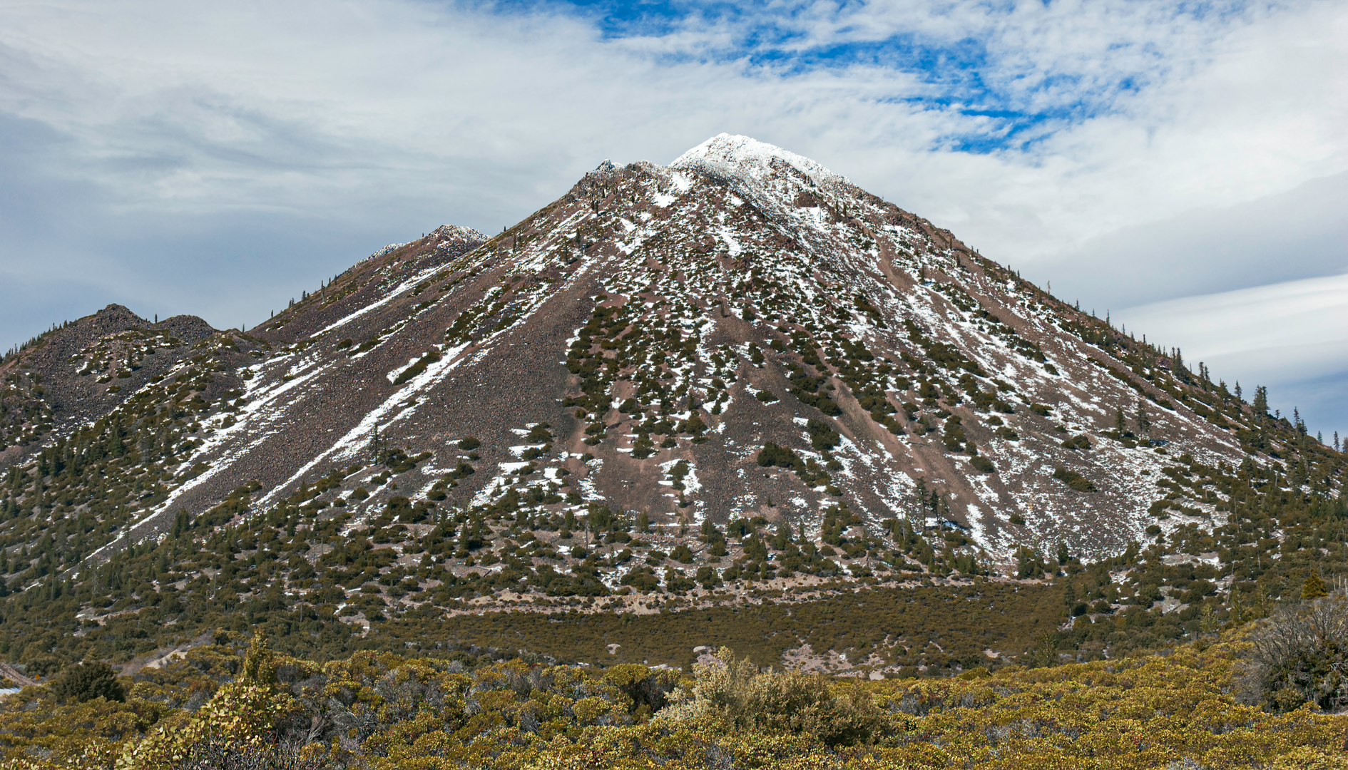
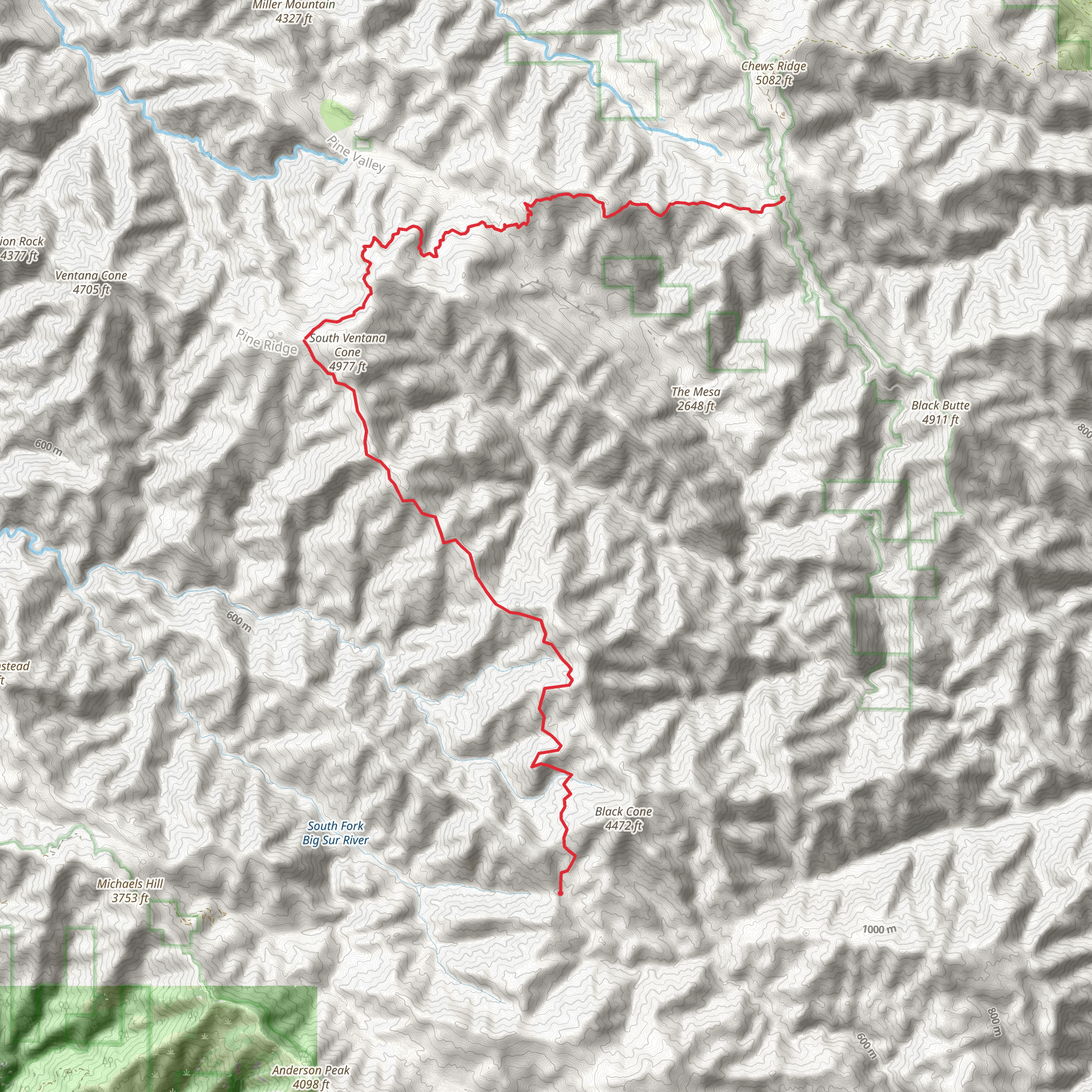
The Black Cone Trail is a challenging and rewarding point-to-point hike located near Monterey County, California. Spanning approximately 23 kilometers (around 14 miles), with an elevation gain of roughly 1000 meters (about 3280 feet), this trail is not for the faint of heart. It is considered difficult due to its steep, rugged terrain and the level of fitness required to complete it.Getting to the TrailheadTo reach the trailhead, you can drive to the Los Padres National Forest, which is the nearest significant landmark. The trailhead is accessible via Nacimiento-Fergusson Road, which cuts through the forest and offers stunning views of the surrounding area. If you're coming from Monterey, take Highway 1 south to Nacimiento-Fergusson Road and head east into the forest. There is no direct public transportation to the trailhead, so a personal vehicle or a taxi service is your best bet.Navigating the TrailOnce on the trail, hikers can use the HiiKER app to navigate the route effectively. The app provides detailed maps and GPS coordinates to help you stay on track. The trail itself winds through dense forests, open meadows, and rugged mountain terrain, offering a variety of landscapes to enjoy.Landmarks and Natural FeaturesEarly in the hike, you'll encounter the Ventana Wilderness, a protected area known for its biodiversity and the towering redwoods that can be found throughout. As you ascend, the vegetation changes, and you'll see a mix of chaparral and oak woodlands.One of the significant landmarks along the Black Cone Trail is the Black Cone itself, a volcanic peak that gives the trail its name. This peak is a prominent feature in the Ventana Wilderness and offers panoramic views of the surrounding area.Wildlife and FloraThe trail is home to a diverse array of wildlife, including black-tailed deer, mountain lions, and a variety of bird species. Hikers should be aware of their surroundings and keep a respectful distance from any animals they encounter.The flora along the trail is equally diverse, with wildflowers blooming in the spring and early summer, adding splashes of color to the landscape. Poison oak is also prevalent in the area, so hikers should be knowledgeable about identifying and avoiding it.Historical SignificanceThe region has a rich history, with the Ventana Wilderness being part of the traditional territory of the Esselen and Salinan Native American tribes. The area was later explored by Spanish missionaries and settlers, and remnants of this history can still be seen in the landscape.Preparation and SafetyGiven the trail's difficulty, hikers should be well-prepared with adequate water, food, and clothing for changing weather conditions. It's also advisable to hike with a companion and inform someone of your itinerary before setting out. Due to the remote nature of the trail, cell service can be spotty, so carrying a map and compass or a charged GPS device is crucial.Remember to check the weather forecast and trail conditions before your hike, as the trail can become quite challenging after heavy rains or during extreme heat. Always practice Leave No Trace principles to preserve the beauty and integrity of the wilderness for future hikers.
What to expect?
Activity types
Comments and Reviews
User comments, reviews and discussions about the Black Cone Trail, California.
4.67
average rating out of 5
9 rating(s)

