Download
Preview
Add to list
More
41.0 km
~3 days
1799 m
Multi-Day
“Trek the North Rim Trail's 25.5-mile odyssey of grand vistas, steep climbs, and rich history, a challenging yet rewarding high-elevation adventure.”
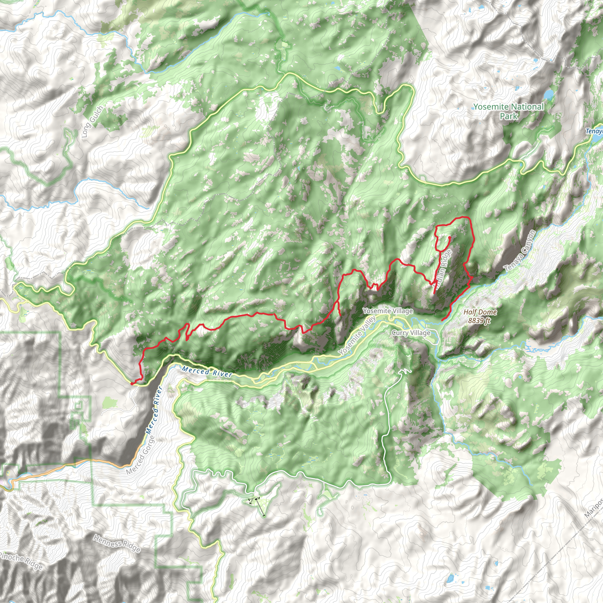
Embarking on the North Rim Trail, hikers will traverse approximately 41 kilometers (25.5 miles) of diverse landscapes with an elevation gain of around 1800 meters (5905 feet). This point-to-point trail is nestled near Mariposa County, California, and is considered difficult due to its challenging terrain and significant elevation changes.
Getting to the Trailhead
The trailhead is accessible by car and is located near the Grand Canyon North Rim Visitor Center, which can serve as a significant landmark for navigation. For those relying on public transportation, options are limited due to the remote nature of the North Rim. However, during the peak season, there may be shuttle services available from major hubs like Flagstaff or Las Vegas to the North Rim. It's advisable to check the latest shuttle schedules and availability in advance.
Navigating the Trail
Hikers can utilize the HiiKER app to navigate the trail, ensuring they stay on the correct path and are aware of upcoming changes in terrain or elevation. The app provides detailed maps that can be used offline, which is particularly useful in areas with limited cell service.
Landmarks and Scenery
As adventurers set out on the North Rim Trail, they will be greeted by the vast expanse of the Grand Canyon, with its layered bands of red rock revealing millions of years of geological history. The trail offers a more secluded experience compared to the South Rim, with fewer visitors and untouched natural beauty.
The journey begins with a descent into the canyon, where hikers will encounter Roaring Springs, a vital water source for the park and a refreshing stop approximately 5 kilometers (3.1 miles) from the trailhead. The path then leads to the iconic Bright Angel Point, providing breathtaking panoramic views of the canyon.
Flora and Fauna
The North Rim is home to a variety of wildlife, including mule deer, mountain lions, and a diverse bird population. Hikers should be prepared to encounter these animals and respect their habitat by maintaining a safe distance and not feeding wildlife.
The trail is also rich in vegetation, with ponderosa pine forests giving way to aspen groves and meadows filled with wildflowers in the spring and summer months. The changing leaves of the aspen trees create a stunning display of color in the fall.
Historical Significance
The Grand Canyon holds deep historical significance, with evidence of Native American habitation dating back thousands of years. The North Rim Trail offers a glimpse into the past, with various archaeological sites along the route. Hikers can reflect on the long-standing human connection to this majestic landscape as they walk paths that have been used for centuries.
Preparation and Planning
Due to the trail's difficulty and remote nature, hikers should be well-prepared with adequate water, food, and gear for changing weather conditions. It's essential to plan for the hike's duration, as completing the trail can take multiple days for most hikers. Camping permits are required for overnight stays, and hikers should secure these well in advance due to high demand.
Safety Considerations
The North Rim Trail's high elevation and steep grades can be challenging, and the altitude may affect hikers unaccustomed to such conditions. It's crucial to acclimate to the elevation before starting the hike and to be aware of the signs of altitude sickness. Additionally, the trail can be narrow with steep drop-offs, so caution is advised, especially in inclement weather when the path may be slippery.
By preparing adequately and respecting the natural and historical significance of the region, hikers can embark on a memorable journey along the North Rim Trail, experiencing the grandeur of the Grand Canyon in a profound and personal way.
What to expect?
Activity types
Comments and Reviews
User comments, reviews and discussions about the North Rim Trail, California.
4.75
average rating out of 5
4 rating(s)

