Download
Preview
Add to list
More
324.4 km
~20 days
12626 m
Multi-Day
“Trek the John Muir Trail for a breathtaking, challenging immersion into the Sierra Nevada's wilderness.”
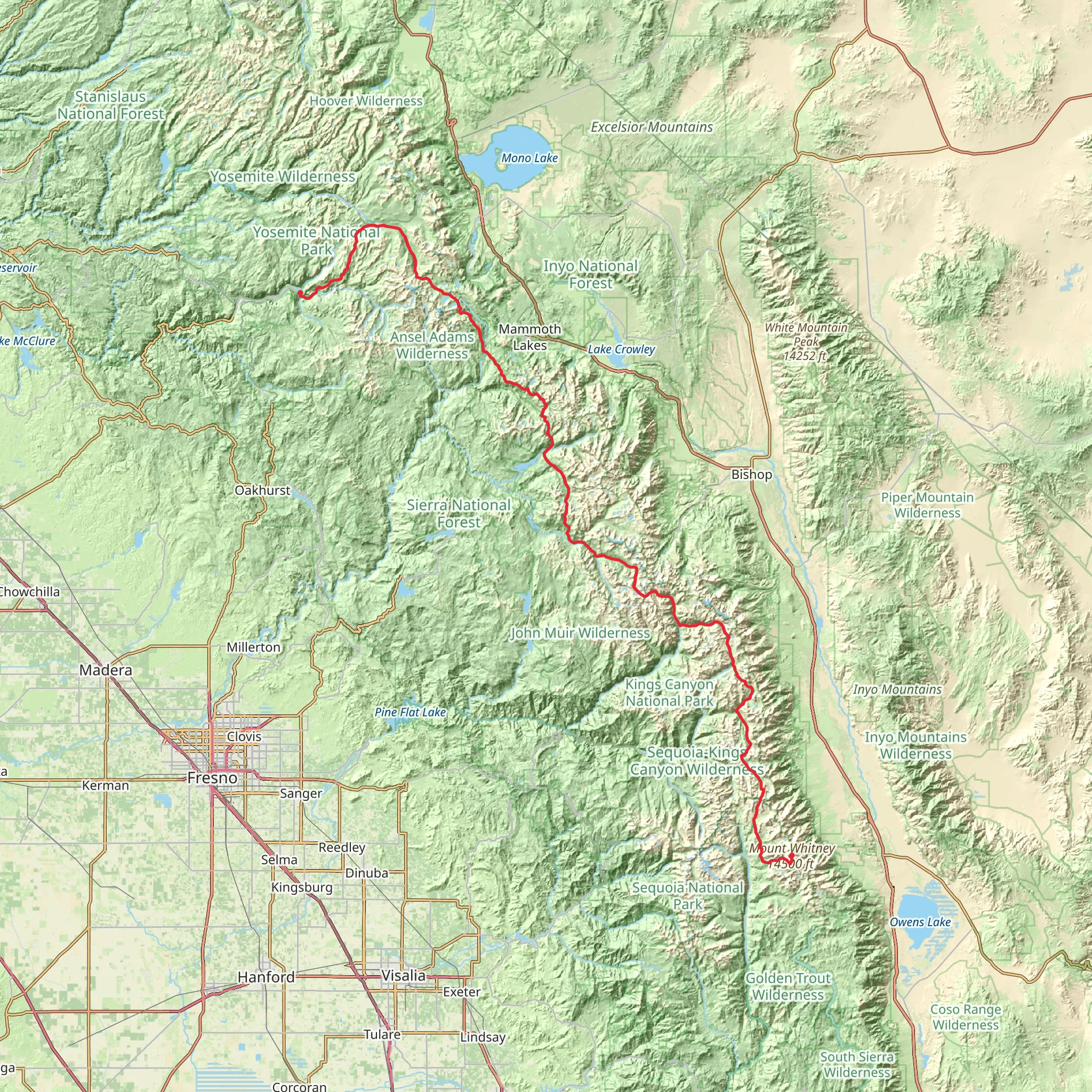
Embarking on the John Muir Trail (JMT) is a journey through some of the most stunning wilderness in the Sierra Nevada mountain range. Spanning approximately 324 kilometers (201 miles), with an elevation gain of around 12,600 meters (41,000 feet), the trail offers a challenging yet rewarding experience for avid hikers.
Starting at the trailhead near Yosemite Valley in Mariposa County, California, hikers can access the beginning of the JMT by car, parking at the designated area in Yosemite National Park. Public transportation options include taking the YARTS (Yosemite Area Regional Transportation System) buses that provide service to Yosemite Valley from various locations.
Navigating the Trail
The JMT is a well-marked point-to-point trail that traverses through Yosemite, Kings Canyon, and Sequoia National Parks, culminating at the summit of Mount Whitney, the highest peak in the contiguous United States. Hikers can rely on the HiiKER app for detailed maps and navigation assistance throughout their trek.
Landmarks and Scenery
The trail offers a plethora of breathtaking landmarks. Early on, hikers will pass the iconic Half Dome and later encounter the serene beauty of Thousand Island Lake. The trail continues over several mountain passes, including Donohue Pass, Muir Pass, and Forester Pass, each offering its own unique vistas and challenges.
Wildlife and Nature
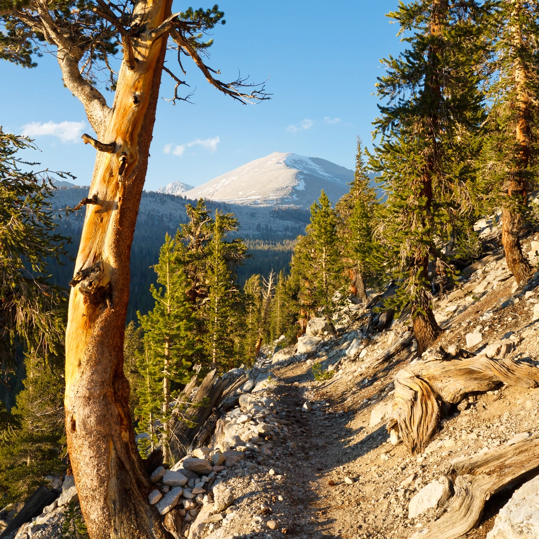
The diverse ecosystems along the JMT are home to a variety of wildlife, including black bears, mule deer, and mountain lions. Hikers should be prepared to practice bear safety, including the use of bear canisters for food storage. The trail also winds through ancient forests, alpine meadows, and alongside pristine streams, showcasing the rich biodiversity of the region.
Historical Significance
Named after the naturalist John Muir, an advocate for the preservation of the wilderness in the United States, the trail is steeped in history. Muir's work was instrumental in the establishment of national parks, and the trail that bears his name serves as a living monument to his legacy.
Preparation and Planning
Due to the length and elevation gain of the JMT, hikers should be in good physical condition and have experience with long-distance backpacking. It's essential to plan for resupply points, as the trail can take several weeks to complete. Permits are required for the JMT, and hikers should secure these well in advance due to high demand.
Weather and Safety
The best time to hike the JMT is typically from late June to early October, when the snow has melted, and the weather is more stable. However, mountain weather can be unpredictable, and hikers should be prepared for sudden changes, including thunderstorms and cold temperatures at higher elevations.
In conclusion, the John Muir Trail offers an unforgettable adventure through some of the most majestic landscapes in North America. With proper preparation and respect for the natural environment, hikers will find themselves immersed in the beauty and grandeur of the Sierra Nevada mountains.
What to expect?
Activity types
Comments and Reviews
User comments, reviews and discussions about the John Muir Trail, California.
4.8
average rating out of 5
5 rating(s)

