Download
Preview
Add to list
More
61.9 km
~4 days
1716 m
Multi-Day
“Embark on a scenic 38.5-mile trek through Yosemite's alpine wonders, rich history, and diverse ecology.”
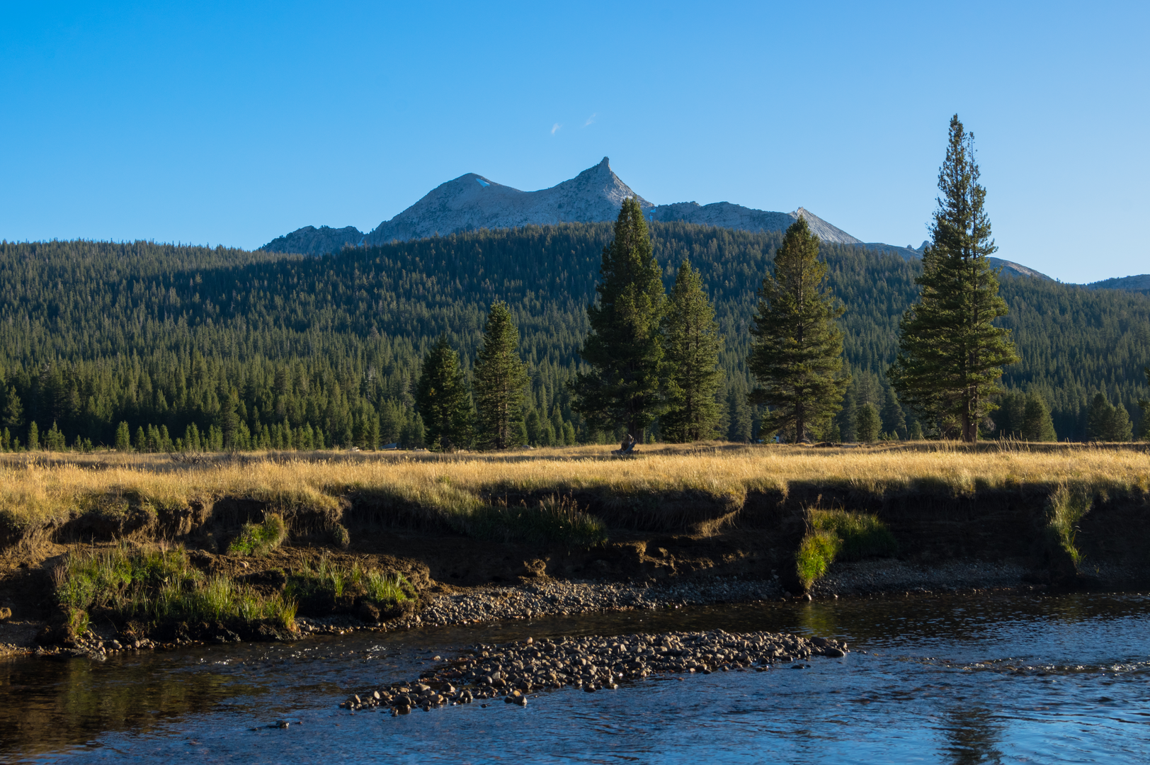
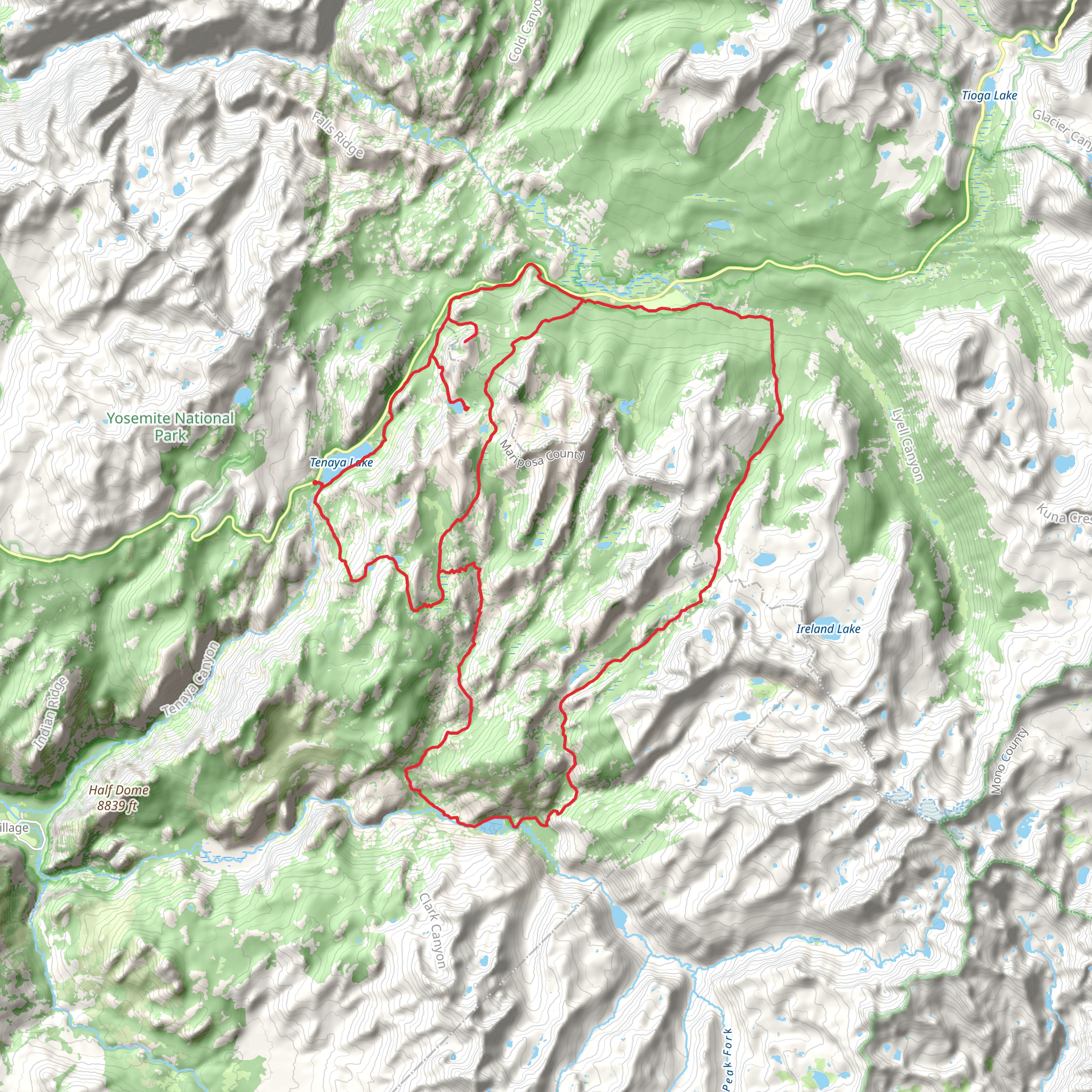
The High Sierra Camps Loop in the majestic Yosemite National Park offers an immersive experience through some of the most breathtaking landscapes in Mariposa County, California. Spanning approximately 62 kilometers (about 38.5 miles) with an elevation gain of around 1700 meters (approximately 5577 feet), this loop trail is a medium-difficulty adventure that takes you through a variety of terrains, from lush meadows to rugged mountain passes.### Getting to the TrailheadTo reach the trailhead, you can drive to Yosemite National Park and follow the signs to the Tuolumne Meadows area, which is the usual starting point for the High Sierra Camps Loop. If you're using public transportation, the YARTS (Yosemite Area Regional Transportation System) provides bus services to Yosemite from various locations, including Merced, Fresno, Sonora, and Mammoth Lakes. Once in the park, the free shuttle service can help you reach Tuolumne Meadows.### The Journey BeginsSetting out from Tuolumne Meadows, you'll be greeted by expansive views of the high alpine grasslands, framed by granite peaks. The first leg of the journey takes you through Lyell Canyon, following the Lyell Fork of the Tuolumne River. This gentle section allows for acclimatization as you gradually ascend through the canyon.### Ascending to Donohue PassAs you leave Lyell Canyon, the trail begins to climb more steeply towards Donohue Pass. This is one of the more challenging sections, with switchbacks leading you to an elevation of over 11,000 feet. From the pass, you'll be rewarded with panoramic views of the surrounding Sierra Nevada peaks.### Descending into the ValleyAfter cresting Donohue Pass, the trail descends into the Rush Creek drainage area. Here, the landscape shifts, presenting a series of alpine lakes, each with its own unique charm. The trail meanders past Waugh Lake and Gem Lake before reaching the junction with the John Muir Trail.### Historical SignificanceThe High Sierra Camps Loop traverses areas rich in history. The region was home to the Ahwahneechee people before European settlers arrived. In the late 19th and early 20th centuries, the Sierra Club played a significant role in establishing the trail system and the High Sierra Camps to make the backcountry accessible to more people. These camps are a testament to the early conservation efforts that helped preserve the Sierra Nevada's natural beauty.### Wildlife and FloraThroughout your hike, keep an eye out for the diverse wildlife that inhabits the area, including mule deer, black bears, and a variety of bird species. The trail also offers a chance to see the delicate alpine flora, such as wildflowers that bloom in the short summer season.### Navigating the TrailFor navigation, HiiKER is an excellent tool to use while trekking the High Sierra Camps Loop. It provides detailed maps and trail information that can be invaluable, especially in areas where the path may not be well marked or in adverse weather conditions.### Preparing for the HikeDue to the length and elevation gain of this loop, it's important to be well-prepared. Ensure you have a good map, plenty of water, and food for the journey. Weather in the High Sierra can change rapidly, so pack layers and be ready for anything from intense sun to snow, even in summer.### Permits and RegulationsRemember that wilderness permits are required for overnight stays in the backcountry, including at the High Sierra Camps. Bear-proof food storage is also mandatory, as bears are active in the area. Check the latest park regulations and trail conditions before setting out on your hike.By respecting the natural environment and being prepared, you can have an unforgettable experience exploring the High Sierra Camps Loop, a jewel in the crown of Yosemite's wilderness.
What to expect?
Activity types
Comments and Reviews
User comments, reviews and discussions about the High Sierra Camps Loop - South, California.
4.43
average rating out of 5
7 rating(s)

