Download
Preview
Add to list
More
3.1 km
~48 min
109 m
Out and Back
“Immerse yourself in Marin County's rich natural beauty and history on the moderately challenging 3 km Lairds Landing Road trail.”
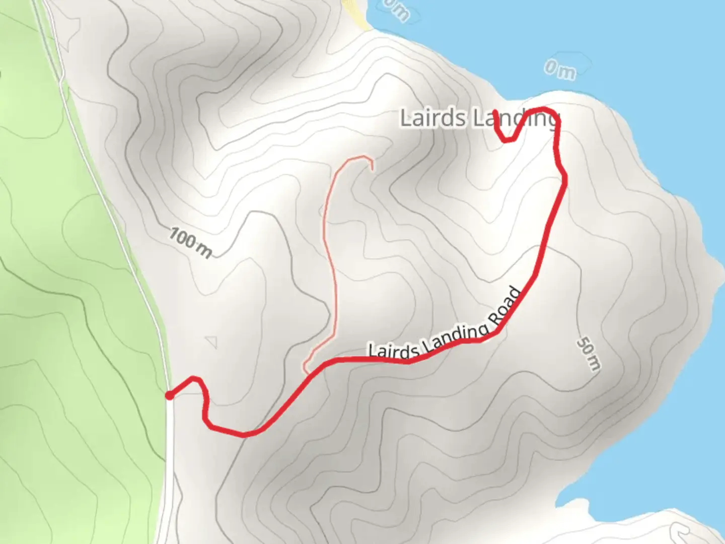
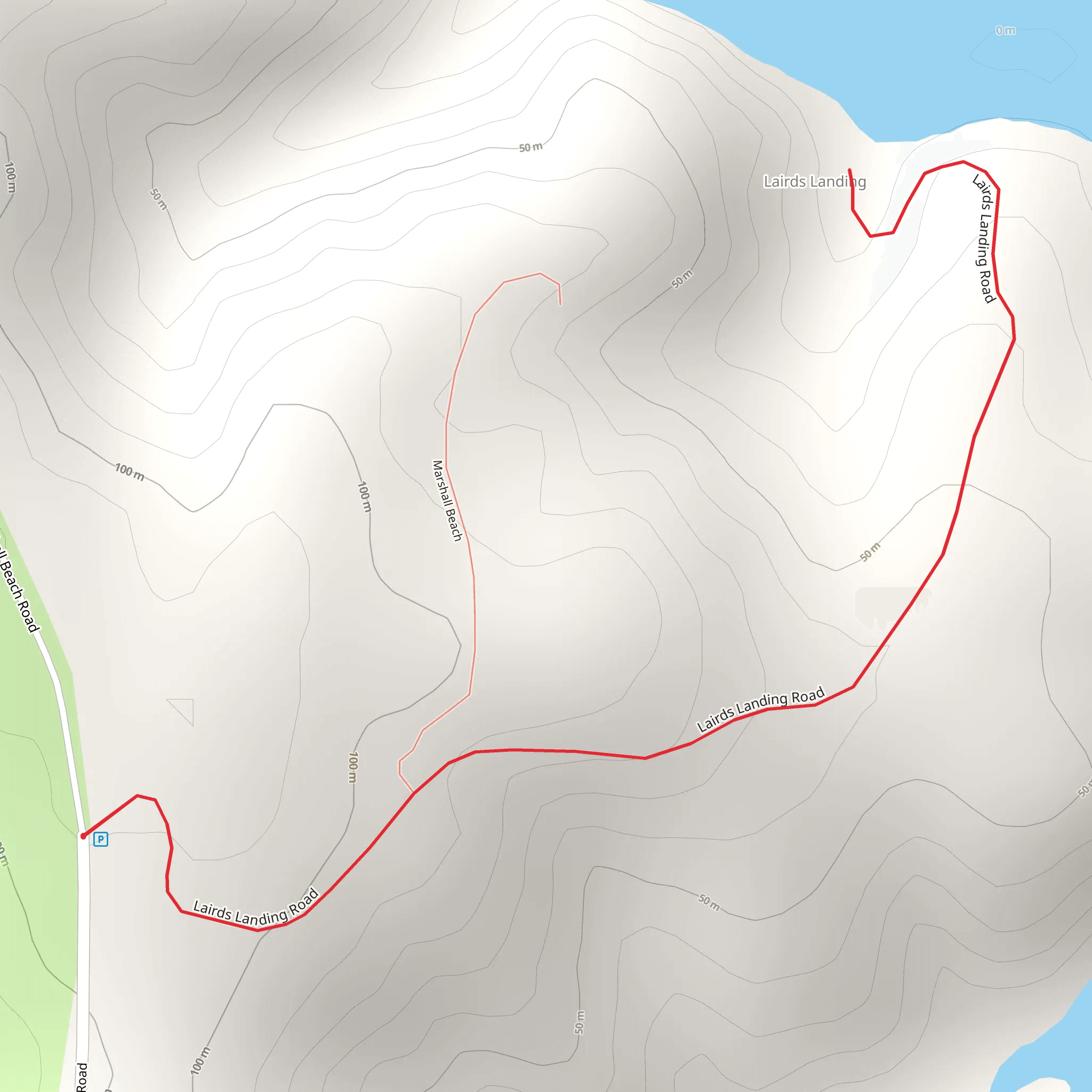
Starting near Marin County, California, the Lairds Landing Road trail offers a moderately challenging out-and-back hike that spans approximately 3 km (1.86 miles) with an elevation gain of around 100 meters (328 feet). This trail is perfect for those looking to immerse themselves in the natural beauty and historical richness of the area.
Getting There To reach the trailhead, you can drive or use public transportation. If you're driving, head towards Point Reyes National Seashore. The nearest significant landmark is the Bear Valley Visitor Center, located at 1 Bear Valley Rd, Point Reyes Station, CA 94956. From there, follow signs to Lairds Landing Road. For those using public transport, take a bus to Point Reyes Station and then a taxi or rideshare to the Bear Valley Visitor Center.
Trail Overview The trail begins near the Bear Valley Visitor Center and quickly immerses you in a lush coastal environment. As you start your hike, you'll notice the trail is well-marked and maintained, making navigation straightforward. For precise navigation, consider using the HiiKER app, which provides detailed maps and real-time updates.
Flora and Fauna The trail meanders through a diverse ecosystem. You'll encounter coastal scrub, grasslands, and patches of dense forest. Keep an eye out for native plants like the California poppy and lupine. Wildlife is abundant; you might spot deer, foxes, and a variety of bird species, including hawks and owls.
Historical Significance Lairds Landing has a rich history. It was once a bustling Miwok village before becoming a landing site for European settlers. As you hike, you'll pass by remnants of old structures and artifacts that tell the story of the area's past. The trail itself follows a route that was historically used for trade and travel by the indigenous people.
Key Landmarks - **0.5 km (0.31 miles)**: You'll reach a scenic overlook that offers panoramic views of Tomales Bay. This is a great spot for a quick rest and some photos. - **1.5 km (0.93 miles)**: Midway through the hike, you'll come across the remains of an old pier. This is a significant historical site where goods were once unloaded and transported inland. - **2.5 km (1.55 miles)**: Near the end of the trail, you'll find a secluded beach area. It's a perfect spot to relax and enjoy the serene surroundings before heading back.
Elevation and Terrain The trail features a gradual incline, making the elevation gain of 100 meters (328 feet) manageable for most hikers. The terrain varies from packed dirt to rocky sections, so sturdy hiking boots are recommended. Be prepared for some uneven ground, especially near the historical sites and the beach area.
Tips for Hikers - **Weather**: The coastal weather can be unpredictable. Bring layers to adjust to changing conditions. - **Water and Snacks**: There are no facilities along the trail, so carry enough water and snacks for the entire hike. - **Leave No Trace**: Respect the natural and historical sites by following Leave No Trace principles. Pack out all trash and avoid disturbing wildlife.
This trail offers a blend of natural beauty and historical intrigue, making it a rewarding hike for those looking to explore the rich tapestry of Marin County's past and present.
What to expect?
Activity types
Comments and Reviews
User comments, reviews and discussions about the Lairds Landing Road, California.
average rating out of 5
0 rating(s)
