Download
Preview
Add to list
More
22.7 km
~1 day 1 hrs
1265 m
Loop
“Embark on the Gabrielino and Ken Burton Trail loop for a rewarding adventure through California's diverse and historic San Gabriel Mountains.”
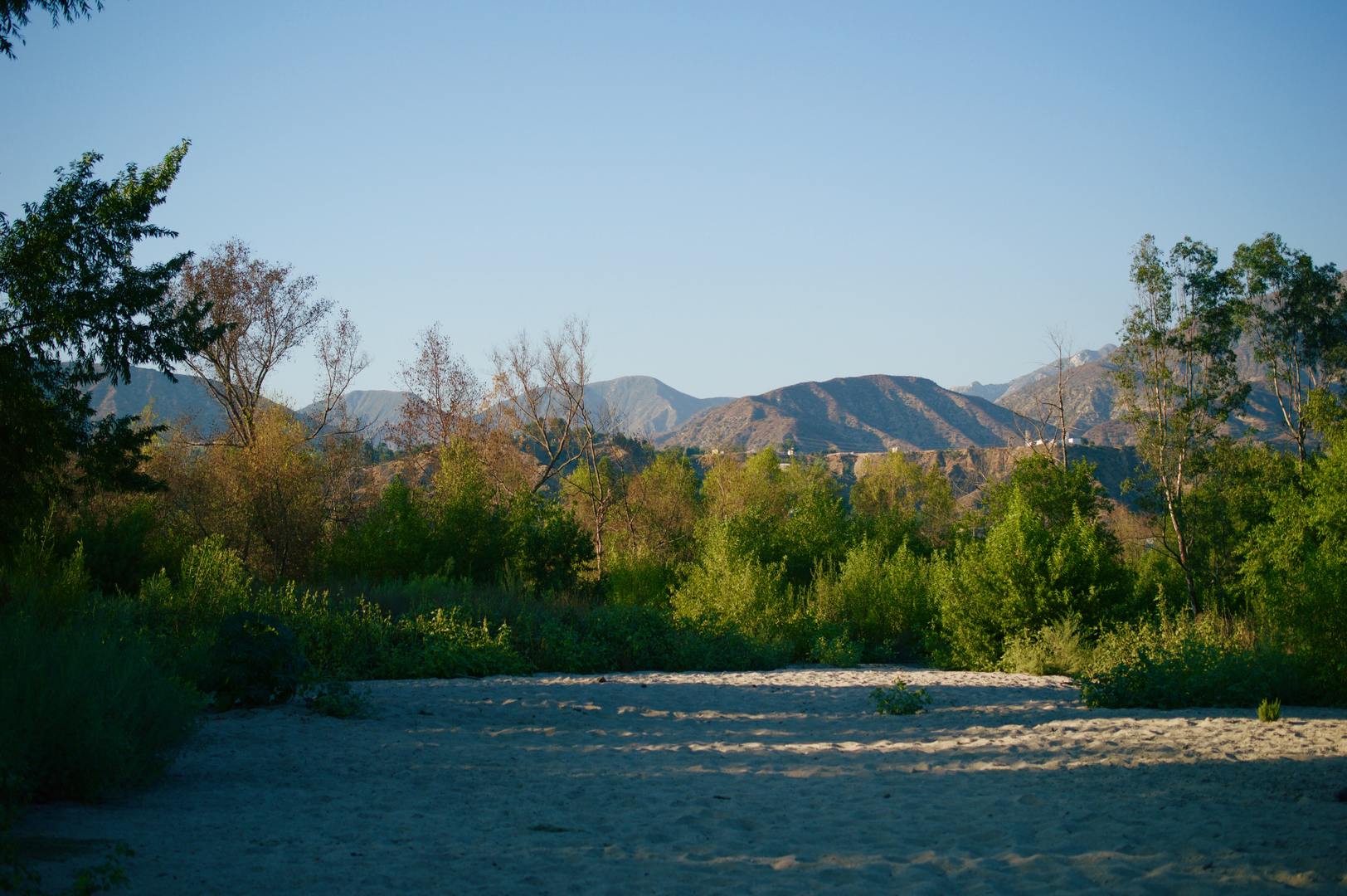
The Gabrielino Trail and Ken Burton Trail loop is a moderately challenging hike that spans approximately 23 kilometers (around 14 miles) with an elevation gain of about 1200 meters (nearly 3937 feet). This scenic route is nestled in the Angeles National Forest near Los Angeles County, California, offering hikers a diverse experience through the San Gabriel Mountains.Getting to the TrailheadTo reach the trailhead, you can drive to the Windsor Avenue parking area in Altadena, which is the closest landmark to the starting point. If you're using public transportation, take a bus to the nearest stop in Altadena and then walk or use a local taxi service to get to the Windsor Avenue parking area.Navigating the TrailOnce you're at the trailhead, you can use the HiiKER app to help navigate the trail. The app provides detailed maps and waypoints that are invaluable for staying on track. The Gabrielino Trail portion begins with a gentle incline as it meanders along the Arroyo Seco, a seasonal river that can range from a trickle to a torrent depending on recent rainfall.Landmarks and NatureAs you progress, you'll encounter the Paul Little Picnic Area, about 3.5 km (2.2 miles) in, which is a great spot for a rest and to enjoy the surrounding nature. The trail then continues to climb steadily, offering views of the rugged canyon walls and the lush riparian habitat that supports a variety of wildlife, including mule deer, coyotes, and numerous bird species.Historical SignificanceThe region holds historical significance as the Gabrielino Trail is named after the Gabrielino/Tongva people, the original inhabitants of the Los Angeles Basin. As you hike, consider the rich history of the land and the indigenous people who once thrived here.Connecting to Ken Burton TrailAt around the 11 km (6.8 miles) mark, you'll reach the junction with the Ken Burton Trail, which will lead you up a series of switchbacks. This section can be quite strenuous, but it rewards hikers with panoramic views of the surrounding mountains and the distant cityscape of Los Angeles.Flora and FaunaThe trail is lined with chaparral, oak woodlands, and during the right season, you may see wildflowers in bloom. Keep an eye out for the California newt and other amphibians near streams and moist areas.Descent and Loop CompletionAfter reaching the peak of the loop, the trail descends, looping back towards the starting point. The descent is gradual and offers a different perspective of the landscape you've traversed. As you complete the loop, you'll find yourself back at the Windsor Avenue parking area, where your journey began.Preparation and PlanningBefore setting out, ensure you have enough water, as sources along the trail may not be reliable, especially during dry seasons. Wear sturdy hiking boots, and consider trekking poles for the steep sections. Check the weather forecast and start early to avoid the midday heat. Always leave no trace and be mindful of the natural environment to preserve it for future hikers.Remember, the trail can be accessed year-round, but the best times to hike are in the spring and fall when temperatures are milder, and the natural beauty of the area is at its peak.

What to expect?
Activity types
Comments and Reviews
User comments, reviews and discussions about the Gabrielino Trail and Ken Burton Trail, California.
4.25
average rating out of 5
4 rating(s)