Download
Preview
Add to list
More
17.3 km
~4 hrs 25 min
572 m
Loop
“Embark on a captivating 17 km loop trail with stunning vistas, historical landmarks, and diverse wildlife.”
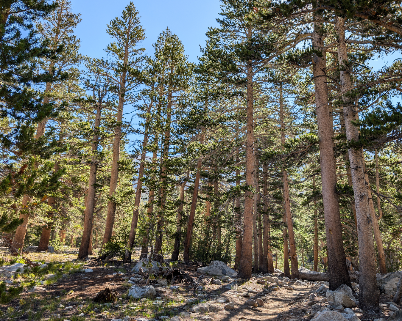
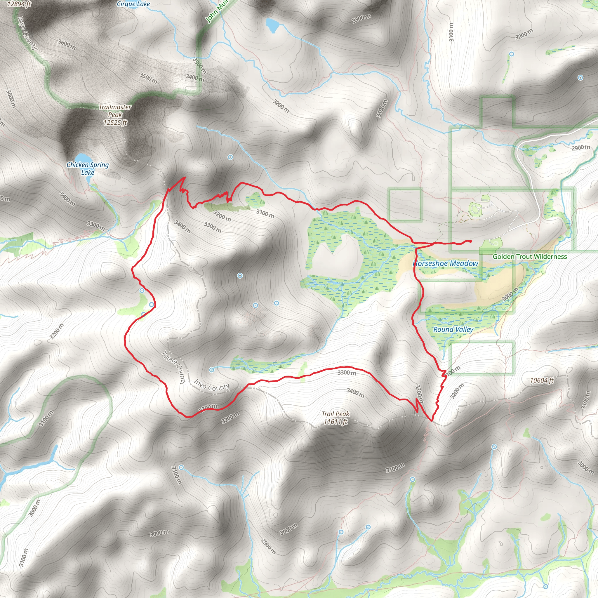
Starting your adventure near Inyo County, California, the Tree Pass, Pacific Crest, and Cottonwood Pass Loop Trail offers a captivating 17 km (10.5 miles) journey with an elevation gain of approximately 500 meters (1,640 feet). This loop trail is rated medium in difficulty, making it suitable for moderately experienced hikers.### Getting There To reach the trailhead, you can drive or use public transport. If driving, head towards the Horseshoe Meadow Road, which is the nearest significant landmark. From there, follow the signs to the Cottonwood Pass Trailhead parking area. For those relying on public transport, the nearest major town is Lone Pine, California. From Lone Pine, you can take a taxi or rideshare service to the trailhead, which is about a 30-minute drive.### Trail Overview The trail begins at the Cottonwood Pass Trailhead, situated at an elevation of around 3,048 meters (10,000 feet). The initial section of the trail is relatively gentle, allowing you to acclimate to the altitude. As you progress, you'll encounter a mix of forested areas and open meadows, providing a diverse hiking experience.### Significant Landmarks and Nature Around 3 km (1.9 miles) into the hike, you'll reach Cottonwood Pass, a notable landmark offering panoramic views of the surrounding peaks and valleys. This is a great spot to take a break and soak in the scenery. Continuing on, the trail intersects with the Pacific Crest Trail (PCT), a renowned long-distance trail that stretches from Mexico to Canada.As you hike along the PCT section, keep an eye out for the diverse flora and fauna. The area is home to mule deer, black bears, and various bird species. Wildflowers are abundant in the spring and summer months, adding vibrant colors to the landscape.### Historical Significance The region around the trail has a rich history, particularly related to the indigenous Paiute people who have inhabited the area for thousands of years. The trail also passes through areas that were historically significant during the California Gold Rush, adding an element of historical intrigue to your hike.### Navigation and Safety Given the trail's moderate difficulty and elevation changes, it's essential to be well-prepared. Use the HiiKER app for accurate navigation and real-time updates on trail conditions. Ensure you have adequate water, snacks, and layers of clothing to adapt to changing weather conditions. The trail can be quite exposed in certain sections, so sun protection is also crucial.### Final Stretch The final section of the loop brings you back through serene meadows and forested areas, gradually descending towards the trailhead. This part of the hike is less strenuous, allowing you to reflect on the journey and enjoy the natural beauty one last time before completing the loop.By the time you return to the Cottonwood Pass Trailhead, you'll have experienced a diverse and enriching hike, filled with stunning vistas, historical landmarks, and a variety of wildlife.
What to expect?
Activity types
Comments and Reviews
User comments, reviews and discussions about the Tree Pass, Pacific Crest and Cottonwood Pass Loop Trail, California.
4.8
average rating out of 5
5 rating(s)

