Download
Preview
Add to list
More
18.3 km
~4 hrs 50 min
706 m
Loop
“Embark on the picturesque Paradise Royale Loop, an 11-mile trek through diverse ecosystems and rich history in California's King Range.”
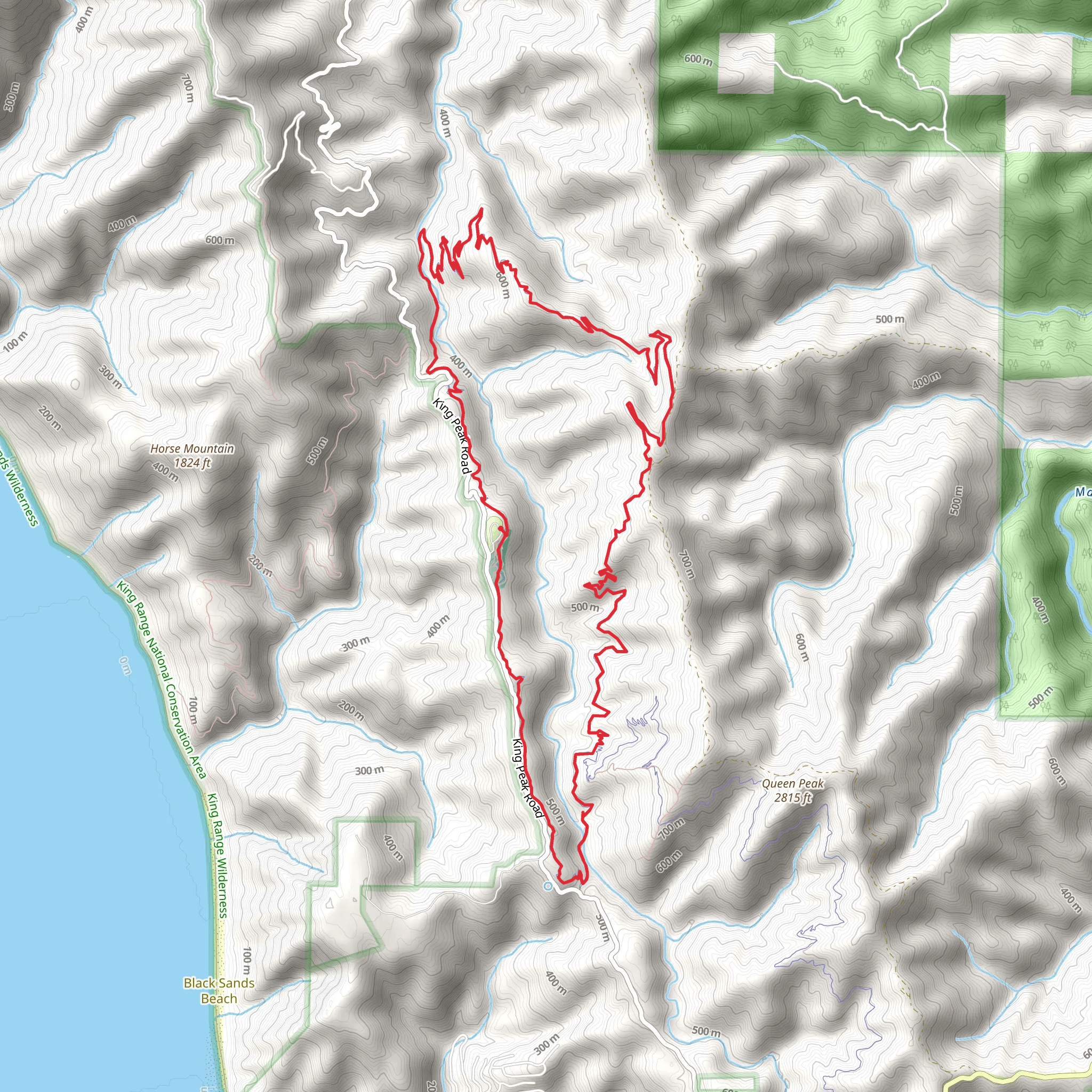
Nestled in the scenic King Range National Conservation Area near Humboldt County, California, the Paradise Royale Loop is a captivating trail that spans approximately 18 kilometers (about 11 miles) and features an elevation gain of around 700 meters (about 2300 feet). This loop trail is designed to provide a medium difficulty level, offering a balanced challenge for both seasoned hikers and those looking to step up their hiking game.
Getting to the Trailhead
To reach the starting point of the Paradise Royale Loop, hikers can drive to the trailhead located off of Shelter Cove Road. If you're coming from out of town, the nearest significant landmark is the small coastal town of Shelter Cove, which is accessible via the scenic Redwood Highway (US-101) and the Briceland Thorn Road. There is no direct public transportation to the trailhead, so a personal vehicle or a taxi service from the nearest towns is necessary.
Navigating the Trail
Once at the trailhead, hikers can utilize the HiiKER app to navigate the loop efficiently. The trail is well-marked, but having a digital tool like HiiKER can enhance the experience by providing real-time location tracking and additional trail information.
Trail Experience
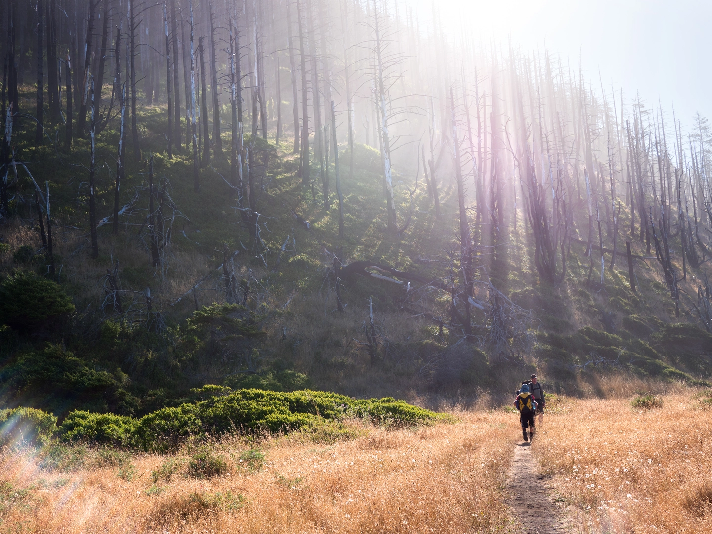
As you embark on the Paradise Royale Loop, you'll be greeted by a diverse array of flora and fauna. The trail meanders through lush forests of Douglas fir and redwoods, with the undergrowth teeming with ferns and wildflowers, especially vibrant in the spring and early summer. Wildlife sightings may include black-tailed deer, Roosevelt elk, and a variety of bird species, so keep your camera ready and your food securely stored.
The first few kilometers will have you ascending steadily, with switchbacks easing the climb. The elevation gain is gradual but noticeable, and you'll want to pace yourself. At around the 5-kilometer (3-mile) mark, you'll reach one of the loop's highest points, offering panoramic views of the surrounding mountains and valleys.
Historical Significance
The King Range area is steeped in history, with the Paradise Royale Loop traversing a landscape that was once home to the Sinkyone and Mattole Native American tribes. As you hike, consider the rich cultural heritage and the generations that walked these lands before it became a trail for modern adventurers.
Landmarks and Highlights
Midway through the hike, you'll encounter the Paradise Royale Mountain Bike Trail intersection. This is a good spot to rest and perhaps watch mountain bikers navigate the challenging terrain. The loop continues, leading you to serene creeks and potential spots for a refreshing dip on a hot day.
As you approach the final stretch of the Paradise Royale Loop, the trail descends back towards the trailhead. The descent is less steep than the initial climb, allowing for a more relaxed pace to take in the sights and sounds of the forest one last time.
Preparation Tips
Before setting out, ensure you have enough water, as there are limited sources along the trail, and treat any water you find before drinking. Weather in the area can change rapidly, so layered clothing is recommended. Lastly, check for any trail updates or alerts, as the region can be affected by seasonal closures due to weather conditions or conservation efforts.
What to expect?
Activity types
Comments and Reviews
User comments, reviews and discussions about the Paradise Royale Loop, California.
4.78
average rating out of 5
9 rating(s)

