Download
Preview
Add to list
More
6.3 km
~1 hrs 56 min
415 m
Out and Back
“The Garnet Hill Trail offers breathtaking views, historical relics, and diverse wildlife for moderately experienced hikers.”
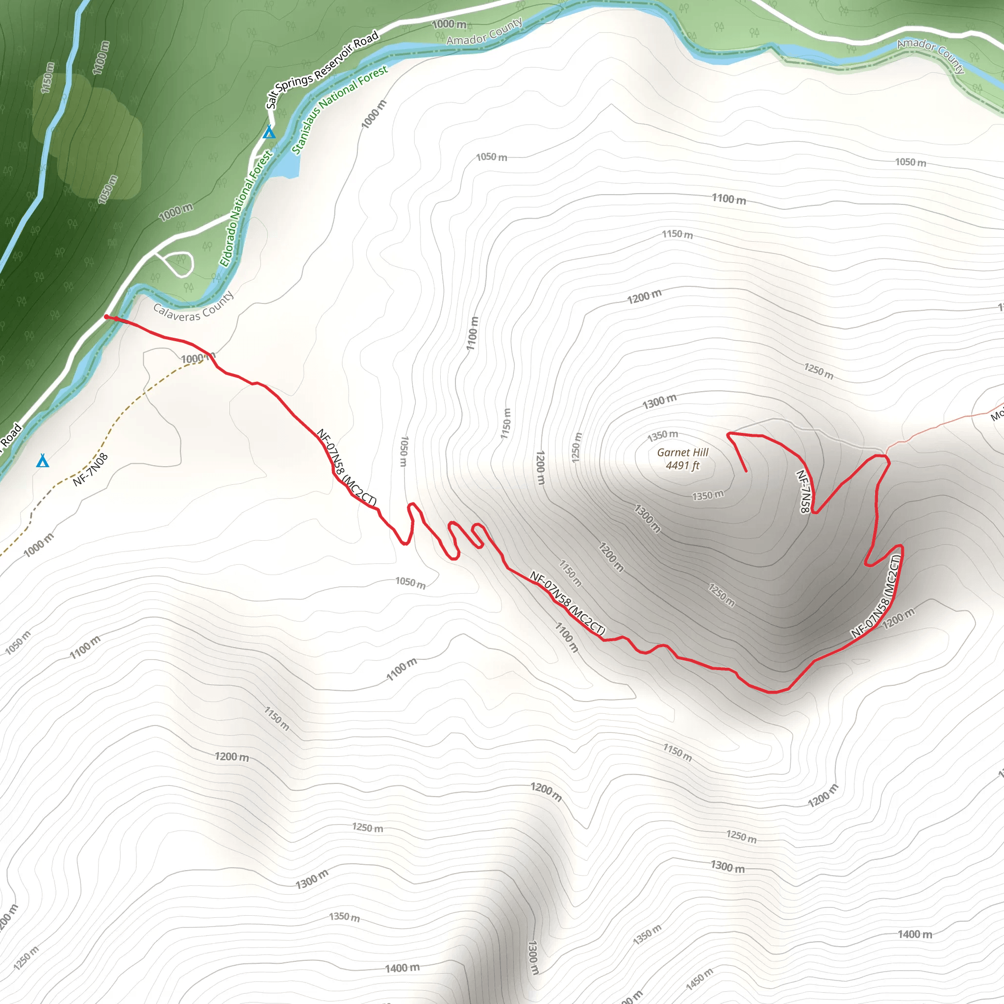
Starting near Amador County, California, the Garnet Hill Trail is a captivating out-and-back hike that spans approximately 6 km (3.7 miles) with an elevation gain of around 400 meters (1,312 feet). This trail is rated as medium difficulty, making it suitable for moderately experienced hikers.
Getting There To reach the trailhead, you can drive or use public transportation. If driving, head towards the vicinity of Amador County, California. The nearest significant landmark is the town of Jackson, CA. From Jackson, take Highway 49 north for about 10 miles until you reach the trailhead parking area. For those using public transport, buses run from Sacramento to Jackson, where you can then take a local taxi or rideshare service to the trailhead.
Trail Overview The trail begins with a gentle ascent through a mixed forest of oak and pine, providing ample shade and a cool environment, especially in the early morning. The first kilometer (0.6 miles) is relatively easy, with a gradual elevation gain of about 50 meters (164 feet). As you progress, the trail becomes steeper, and the terrain more rugged, requiring careful footing.
Significant Landmarks and Nature At approximately 2 km (1.2 miles) into the hike, you'll encounter a small, picturesque creek. This is a great spot to take a short break and enjoy the serene surroundings. The creek is home to various species of frogs and small fish, adding to the natural charm of the area.
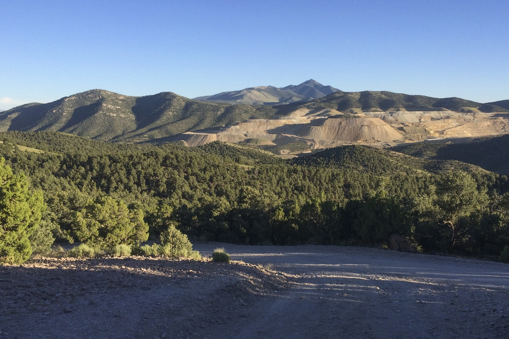
Continuing onward, the trail becomes steeper, gaining another 150 meters (492 feet) in elevation over the next kilometer (0.6 miles). Here, the forest opens up, offering stunning views of the surrounding hills and valleys. Keep an eye out for local wildlife, including deer, wild turkeys, and occasionally, black bears. Birdwatchers will also appreciate the variety of species, such as red-tailed hawks and woodpeckers.
Historical Significance The region around Garnet Hill has a rich history dating back to the Gold Rush era. As you hike, you'll notice remnants of old mining operations, including rusted equipment and abandoned shafts. These historical artifacts offer a glimpse into the past and the lives of the miners who once worked here.
Final Ascent and Summit The final stretch of the trail is the most challenging, with a steep ascent of about 200 meters (656 feet) over the last 1.5 km (0.9 miles). The effort is well worth it, as the summit of Garnet Hill provides panoramic views of the Sierra Nevada mountains and the rolling hills of Amador County. On a clear day, you can see for miles, making it an ideal spot for photography and relaxation.
Navigation and Safety For navigation, it's highly recommended to use the HiiKER app, which provides detailed maps and real-time updates. The trail is well-marked, but having a reliable navigation tool ensures you stay on track. Always carry sufficient water, snacks, and a first-aid kit. Weather can change rapidly, so check forecasts and be prepared for sudden shifts.
Return Journey The return journey follows the same path, allowing you to revisit the beautiful landscapes and landmarks you encountered on the way up. The descent is easier but still requires caution, especially on the steeper sections.
By planning accordingly and being aware of the trail's features and challenges, hikers can fully enjoy the natural beauty and historical richness of the Garnet Hill Trail.
What to expect?
Activity types
Comments and Reviews
User comments, reviews and discussions about the Garnet Hill Trail, California.
average rating out of 5
0 rating(s)

