Download
Preview
Add to list
More
25.1 km
~1 day 2 hrs
1367 m
Out and Back
“Embark on the Skyline 1 and 2 Trail for stunning views, rich history, and a rewarding challenge.”
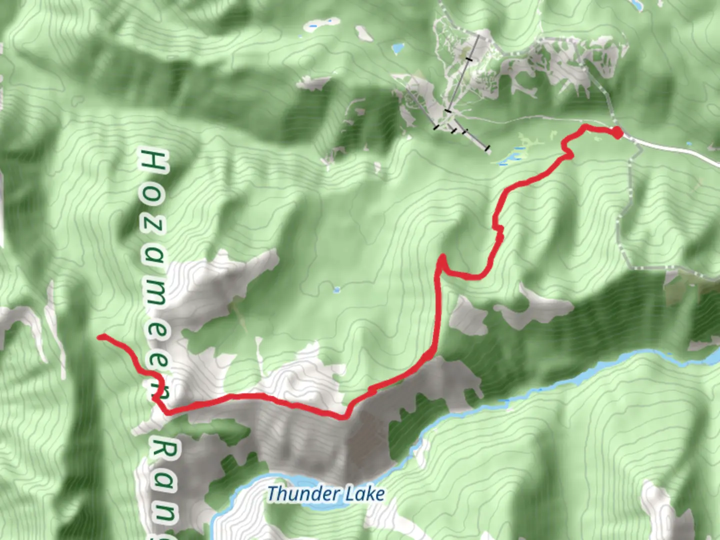
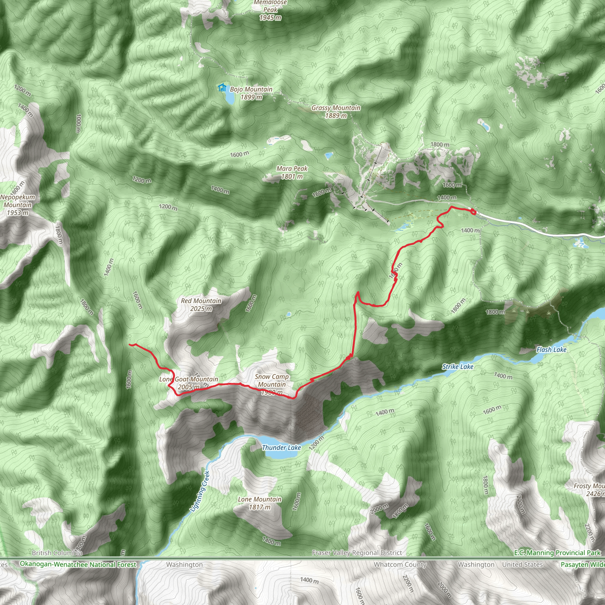
Starting your adventure near Fraser Valley Regional in British Columbia, the Skyline 1 and 2 Trail offers a challenging yet rewarding experience. This out-and-back trail spans approximately 25 kilometers (15.5 miles) with an elevation gain of around 1300 meters (4265 feet).
Getting There To reach the trailhead, you can drive or use public transport. If driving, head towards Fraser Valley Regional, and you can park near the designated trailhead area. For those using public transport, the nearest significant landmark is the town of Hope, BC. From Hope, you can take a local bus or taxi to the trailhead.
Trail Overview The trail begins with a moderate ascent through dense forest, where you'll be surrounded by towering Douglas firs and western red cedars. The first few kilometers are relatively gentle, allowing you to acclimate to the terrain. As you progress, the trail becomes steeper, and you'll encounter a series of switchbacks that will test your endurance.
Significant Landmarks and Points of Interest Around the 5-kilometer (3.1-mile) mark, you'll reach a scenic viewpoint offering panoramic views of the Fraser Valley and the surrounding mountains. This is a great spot to take a break and hydrate. Continuing on, the trail meanders through alpine meadows filled with wildflowers during the summer months. Keep an eye out for local wildlife, including black bears, deer, and various bird species.
Historical Significance The region has a rich history, with the Fraser Valley being a significant area during the gold rush era of the mid-19th century. The trail itself was used by early settlers and indigenous peoples for hunting and trading. As you hike, you may come across remnants of old cabins and mining equipment, offering a glimpse into the past.
Navigation and Safety Given the trail's length and elevation gain, it's crucial to be well-prepared. Use HiiKER for accurate navigation and trail information. The app provides real-time updates and detailed maps, ensuring you stay on the right path. Weather conditions can change rapidly, so pack layers and be prepared for rain or sudden temperature drops.
Final Ascent The final stretch of the trail is the most challenging, with a steep climb that will take you above the tree line. The effort is well worth it, as you'll be rewarded with breathtaking views of the surrounding peaks and valleys. The summit offers a 360-degree panorama, making it an ideal spot for photos and a well-deserved rest.
Return Journey The return journey follows the same path, allowing you to revisit the stunning landscapes and perhaps notice details you missed on the way up. Make sure to pace yourself and take breaks as needed, especially during the descent, which can be tough on the knees.
Wildlife and Flora Throughout the hike, you'll encounter a diverse range of flora and fauna. In addition to the towering trees and vibrant wildflowers, the area is home to various wildlife species. Be mindful of your surroundings and follow Leave No Trace principles to preserve the natural beauty of the trail.
This trail offers a comprehensive hiking experience, combining physical challenge with natural beauty and historical intrigue. Whether you're an experienced hiker or looking to push your limits, the Skyline 1 and 2 Trail provides an unforgettable adventure.
What to expect?
Activity types
Comments and Reviews
User comments, reviews and discussions about the Skyline 1 and 2 Trail, British Columbia.
average rating out of 5
0 rating(s)
