Download
Preview
Add to list
More
6.2 km
~1 hrs 26 min
130 m
Out and Back
“Nepopekum Creek via Strawberry Flats trail offers scenic views, moderate challenge, and rich history for outdoor enthusiasts.”
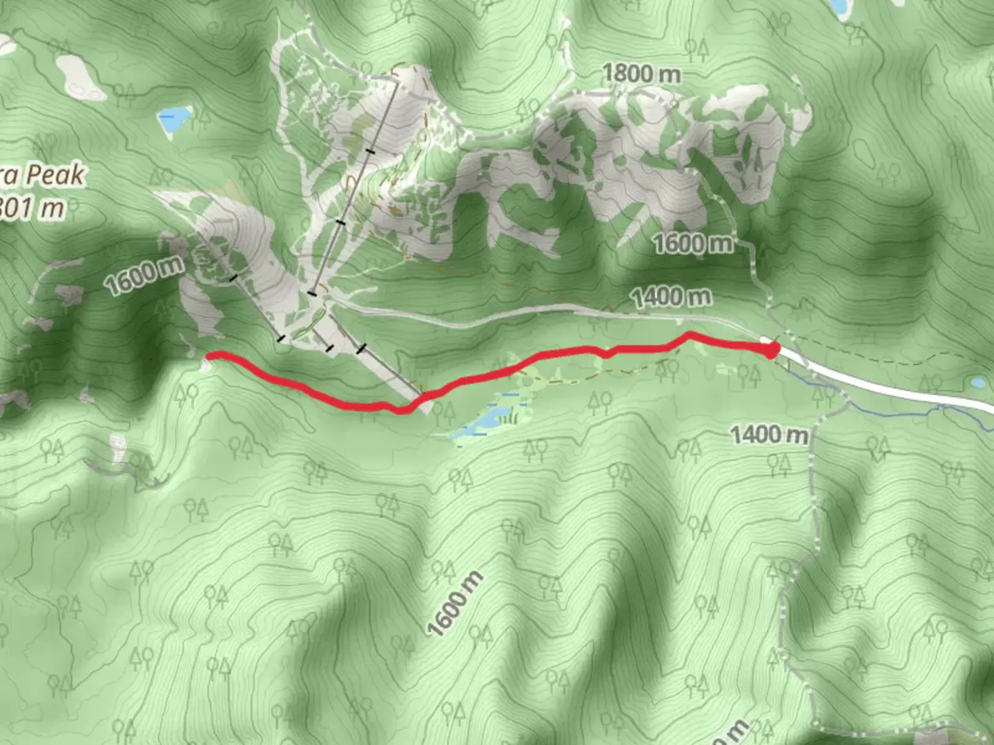
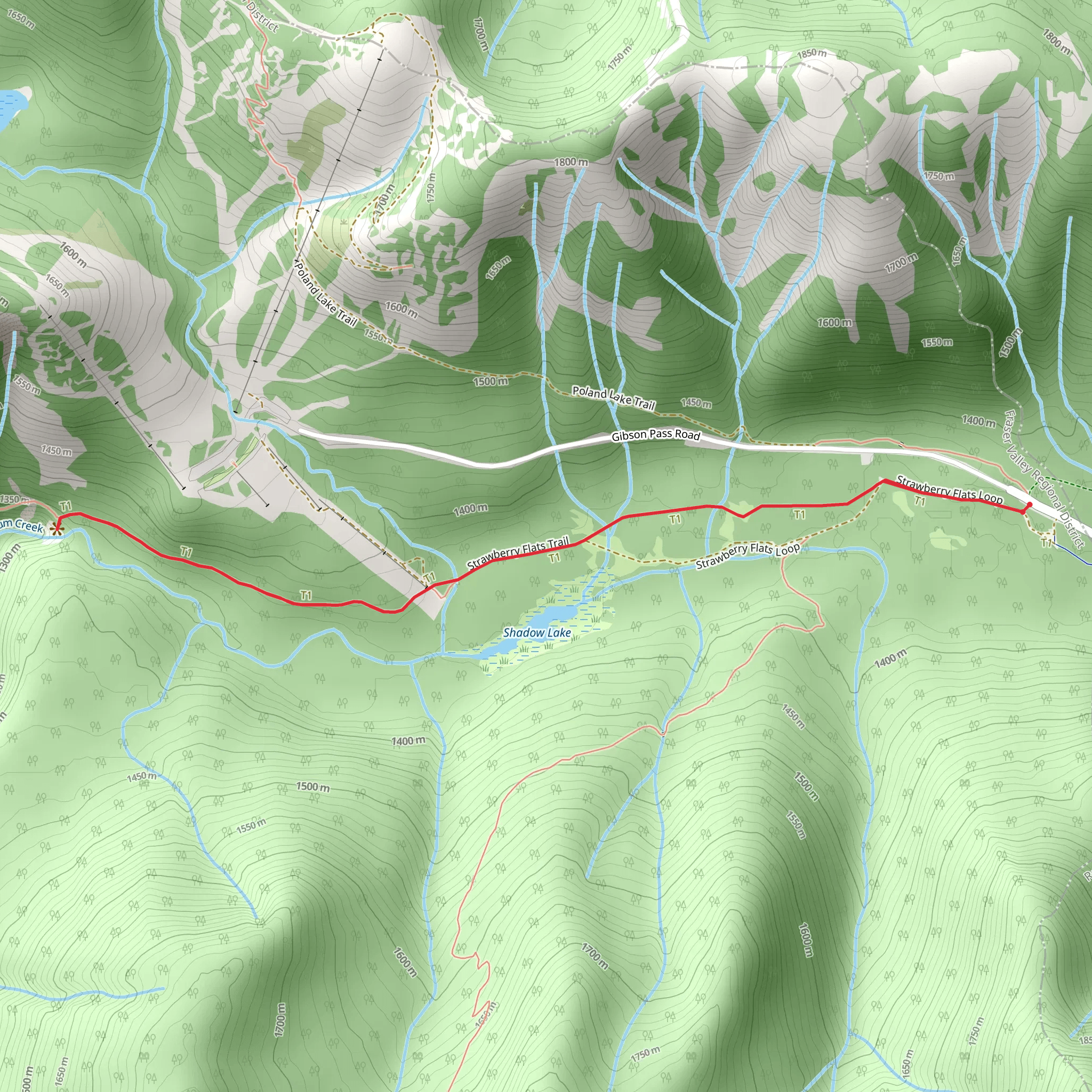
Starting near Fraser Valley Regional in British Columbia, the Nepopekum Creek via Strawberry Flats trail offers a moderately challenging out-and-back hike that spans approximately 6 kilometers (3.7 miles) with an elevation gain of around 100 meters (328 feet). This trail is perfect for those looking to immerse themselves in the natural beauty of the region while enjoying a manageable hike.
Getting There To reach the trailhead, you can drive or use public transportation. If driving, head towards Fraser Valley Regional, British Columbia, and look for parking near the Strawberry Flats area. For those using public transport, the nearest significant landmark is the Fraser Valley Regional District office. From there, you may need to arrange a taxi or rideshare to reach the trailhead.
Trail Overview The trail begins with a gentle ascent through a lush forest, characterized by towering conifers and a rich understory of ferns and mosses. The initial section is relatively flat, making it a pleasant start as you acclimate to the surroundings. As you progress, the trail gradually gains elevation, offering a moderate workout without being overly strenuous.
Significant Landmarks and Nature Around the 1.5-kilometer (0.9-mile) mark, you'll encounter a picturesque clearing known as Strawberry Flats. This area is a great spot to take a break and enjoy the panoramic views of the surrounding mountains. The flats are often dotted with wildflowers in the spring and summer, adding a splash of color to the landscape.
Continuing on, the trail follows the course of Nepopekum Creek. The sound of the flowing water provides a soothing backdrop as you hike. Keep an eye out for local wildlife; deer and various bird species are commonly spotted in this area. The trail also features several small wooden bridges that cross the creek, adding a touch of adventure to your journey.
Historical Significance The region around Nepopekum Creek has a rich history, with roots tracing back to the indigenous peoples who have inhabited the area for thousands of years. The name "Nepopekum" itself is derived from indigenous languages, reflecting the deep cultural significance of the land. As you hike, take a moment to appreciate the historical context and the natural beauty that has been preserved over the centuries.
Navigation and Safety Given the moderate difficulty of the trail, it's advisable to use a reliable navigation tool like HiiKER to ensure you stay on course. The trail is well-marked, but having a digital map can provide additional peace of mind. Wear sturdy hiking boots, bring plenty of water, and pack some snacks for energy. Weather in this region can be unpredictable, so dressing in layers is recommended.
Final Stretch As you approach the 3-kilometer (1.85-mile) mark, you'll reach the turnaround point near a scenic viewpoint overlooking Nepopekum Creek. This is a great spot to rest, take photos, and enjoy the tranquility of the area before heading back the way you came.
The Nepopekum Creek via Strawberry Flats trail offers a delightful mix of natural beauty, moderate physical challenge, and historical significance, making it a rewarding hike for outdoor enthusiasts of all levels.
What to expect?
Activity types
Comments and Reviews
User comments, reviews and discussions about the Nepopekum Creek via Strawberry Flats, British Columbia.
average rating out of 5
0 rating(s)
