Download
Preview
Add to list
More
1499.1 km
~73 days
16926 m
Multi-Day
“Embark on the GR 655 Via Turonensis for a 1499 km journey through Europe's rich history and stunning landscapes.”
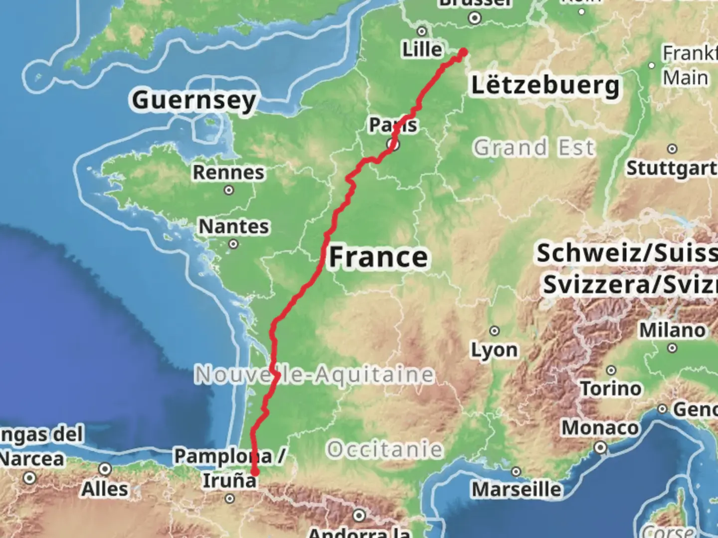
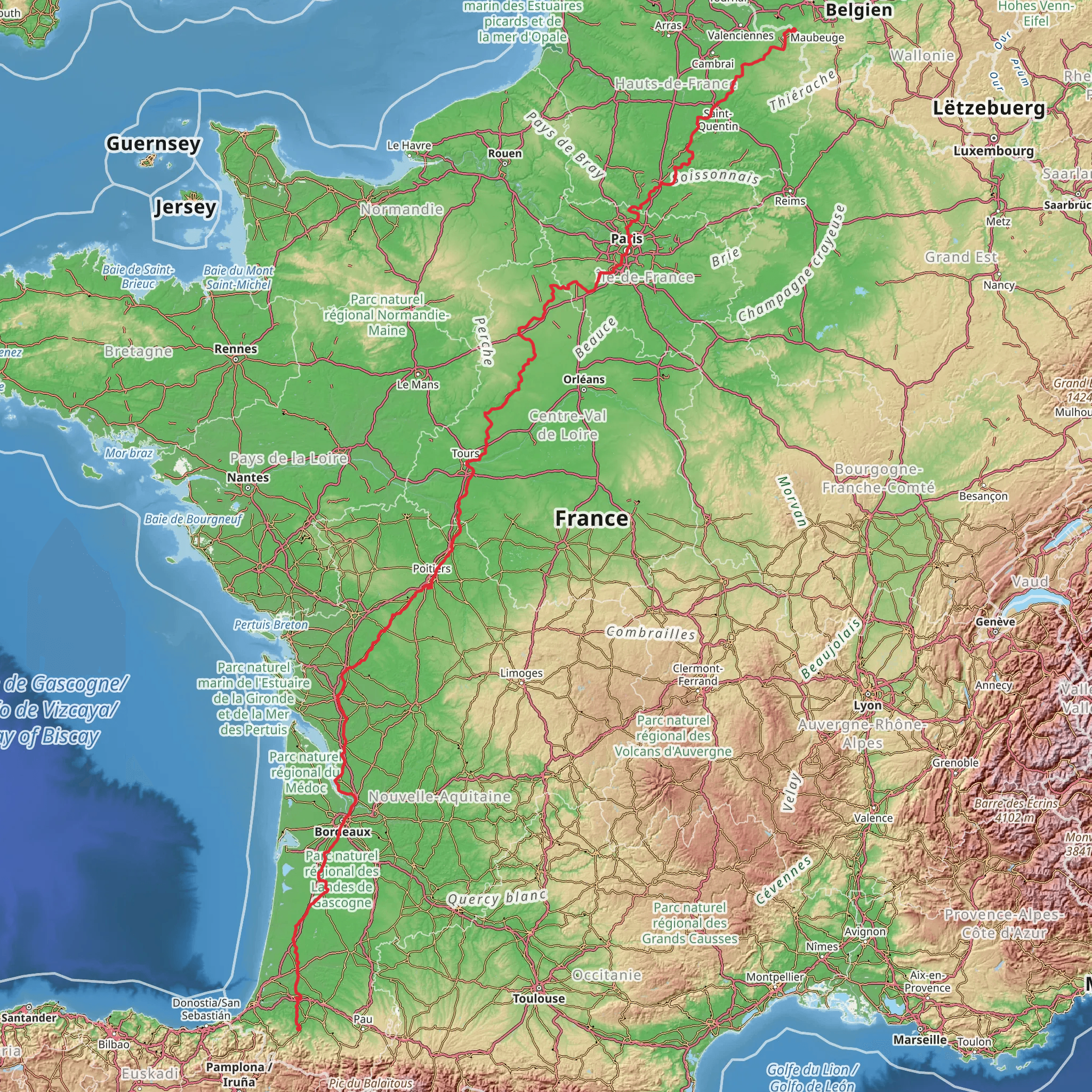
Starting near Thuin, Belgium, the GR 655 Via Turonensis stretches approximately 1499 km (931 miles) with an elevation gain of around 16900 meters (55445 feet). This point-to-point trail is estimated to be of medium difficulty, making it suitable for hikers with some experience.
Getting There To reach the trailhead near Thuin, Belgium, you can take a train to Thuin Station, which is well-connected to major Belgian cities like Brussels and Charleroi. From the station, it's a short walk to the starting point. If you prefer to drive, Thuin is accessible via the E42 motorway, with ample parking available in the town.
Trail Overview The GR 655 Via Turonensis is a historical pilgrimage route that forms part of the larger network of Camino de Santiago trails. This trail takes you through a variety of landscapes, from the rolling hills of Belgium to the lush vineyards of France, and finally to the historic city of Tours.
Key Sections and Landmarks
#### Thuin to Reims (0-200 km / 0-124 miles) Starting in Thuin, the trail meanders through the scenic Belgian countryside, passing through small villages and farmlands. The first significant landmark is the Abbey of Aulne, a Cistercian abbey with ruins dating back to the 7th century. As you cross into France, you'll encounter the Ardennes Forest, known for its dense woods and diverse wildlife, including deer and wild boar. The section ends in Reims, famous for its Gothic cathedral where French kings were crowned.
#### Reims to Orléans (200-600 km / 124-373 miles) Leaving Reims, the trail continues through the Champagne region, offering opportunities to visit world-renowned vineyards. The terrain here is relatively flat, making for easier hiking. Key landmarks include the medieval town of Troyes, known for its half-timbered houses and the Cathedral of Saint-Pierre-et-Saint-Paul. As you approach Orléans, the landscape becomes more varied, with rolling hills and river valleys. Orléans itself is steeped in history, notably as the city liberated by Joan of Arc.
#### Orléans to Tours (600-1499 km / 373-931 miles) The final stretch takes you through the Loire Valley, a UNESCO World Heritage site famous for its châteaux and gardens. Notable stops include the Château de Chambord, a masterpiece of the French Renaissance, and the Château de Chenonceau, which spans the River Cher. The trail concludes in Tours, a city known for its medieval old town and the stunning Saint-Gatien Cathedral.
Nature and Wildlife Throughout the trail, you'll encounter a variety of ecosystems, from dense forests and river valleys to open farmlands and vineyards. Wildlife is abundant, particularly in the Ardennes and Loire Valley regions, where you might spot deer, wild boar, and a variety of bird species.
Navigation and Safety Given the length and complexity of the GR 655 Via Turonensis, it's crucial to use reliable navigation tools. HiiKER is an excellent resource for detailed maps and real-time updates. Always carry a physical map as a backup and be prepared for varying weather conditions, especially in the higher elevation sections.
Historical Significance The GR 655 Via Turonensis is not just a hiking trail but a journey through history. From the ancient abbeys and cathedrals to the medieval towns and Renaissance châteaux, each step offers a glimpse into Europe's rich cultural heritage. The trail has been used by pilgrims for centuries, adding a spiritual dimension to the hike.
This trail offers a unique blend of natural beauty, historical landmarks, and cultural experiences, making it a rewarding journey for any hiker.
Comments and Reviews
User comments, reviews and discussions about the GR 655 Via Turonensis, Belgium.
5.0
average rating out of 5
2 rating(s)
