Download
Preview
Add to list
More
23.6 km
~2 days
259 m
Multi-Day
Sycamore Point Trail
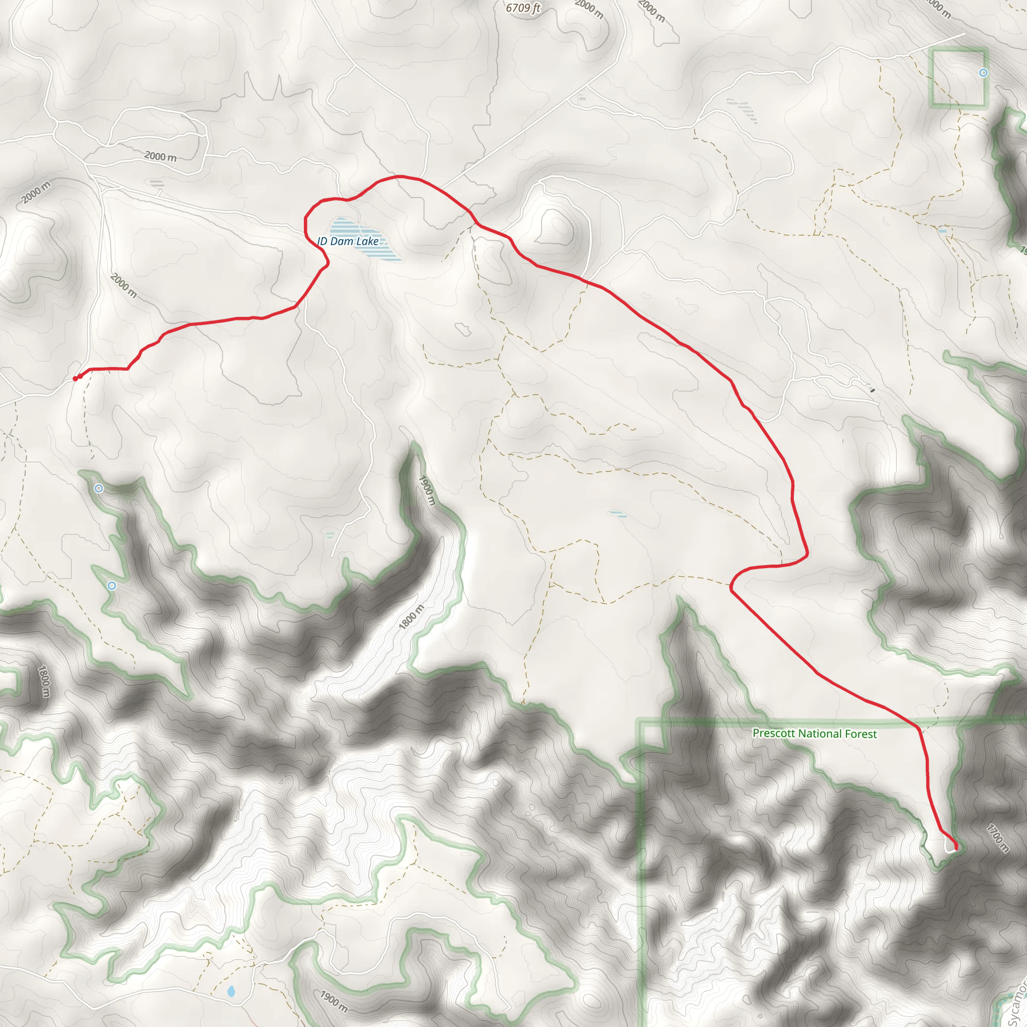
Starting near the town of Williams, Arizona, the Sycamore Point Trail offers a moderately challenging hike through the diverse landscapes of the Kaibab National Forest. The trailhead can be accessed by taking the Forest Service Road 56 off of Highway 64, which is a short drive from Williams. For those relying on public transportation, Williams is accessible by train, and from there, a taxi or a rented car would be necessary to reach the trailhead.
Getting to the Trailhead
To reach the starting point of the Sycamore Point Trail, you'll want to navigate to the junction of Forest Service Road 56 and Highway 64. From Williams, head north on Highway 64 for about 12 miles (19 km) until you see the turn-off for Forest Service Road 56. Follow this unpaved road for approximately 3 miles (4.8 km) to the designated parking area where the trail begins.
Trail Experience
As you embark on the Sycamore Point Trail, you'll traverse through ponderosa pine forests, which gradually transition into stands of oak and aspen as you gain elevation. The trail is well-defined and marked, making it easy to follow with the help of the HiiKER app for navigation.
The total distance of the trail is approximately 24 km (15 miles) out and back, with an elevation gain of around 200 meters (656 feet). The elevation change is gradual, making it a pleasant hike for those with a moderate level of fitness.
Landmarks and Scenery
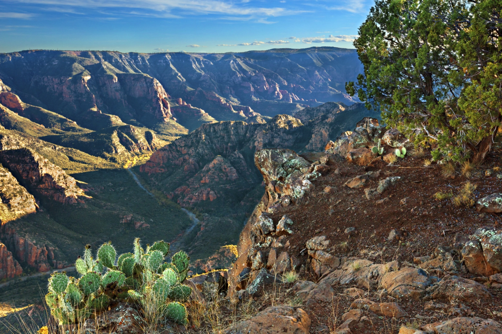
One of the highlights of this hike is the stunning Sycamore Canyon, Arizona's second-largest canyon. As you approach the halfway point of the trail, you'll be rewarded with breathtaking views of the canyon's deep gorges and red rock formations. The overlook at Sycamore Point itself provides a panoramic vista that is especially impressive at sunrise or sunset.
Nature and Wildlife
The area is rich in biodiversity, and hikers may encounter a variety of wildlife, including elk, mule deer, and a wide array of bird species. The trail also offers a chance to see wildflowers in the spring and a colorful display of foliage in the fall.
Historical Significance
The region around Sycamore Point is steeped in history. The Kaibab National Forest was home to Native American tribes for centuries, and the area has a rich cultural heritage. As you hike, consider the ancient peoples who once lived in and traversed these lands.
Preparation and Planning
Before setting out, ensure you have enough water, as there are no reliable water sources along the trail. The weather can change rapidly, so layered clothing is recommended. Also, be prepared for the trail's remote nature by bringing a map, compass, and the HiiKER app to aid in navigation.
Access and Regulations
The trail is open year-round, but the best times to visit are from late spring to early fall to avoid snow. Always check the local conditions and forest service alerts before your hike. As with all wilderness areas, practice Leave No Trace principles to preserve the beauty and integrity of the trail for future hikers.
Comments and Reviews
User comments, reviews and discussions about the Sycamore Point Trail, Arizona.
4.25
average rating out of 5
4 rating(s)

