Grand Enchantment Trail trail stages
stage 31
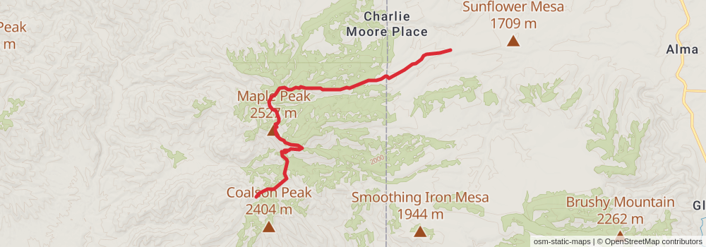
Starting at: Blue, Greenlee County, 85922
Ending at: Glenwood, Catron County, 88039
Distance: 16.7 km
Elevation gain: 694 m
Duration: 04:30:17
View on mapstage 32

Starting at: Glenwood, Catron County, 88039
Ending at: Sayreville, Catron County, 88039
Distance: 18.8 km
Elevation gain: 267 m
Duration: 04:12:37
View on mapstage 33
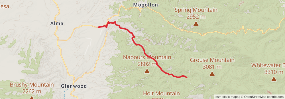
Starting at: Glenwood, Catron County, 88039
Ending at: Glenwood, Catron County, 88039
Distance: 14.9 km
Elevation gain: 1098 m
Duration: 04:48:18
View on mapstage 34
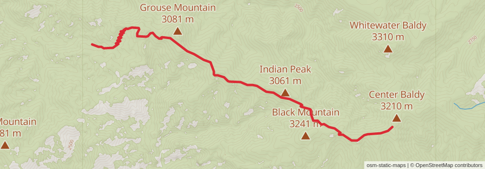
Starting at: Glenwood, Catron County, 88039
Ending at: Glenwood, Catron County, 88039
Distance: 13.7 km
Elevation gain: 1100 m
Duration: 04:33:47
View on mapstage 35
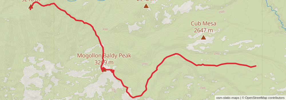
Starting at: Glenwood, Catron County, 88039
Ending at: Glenwood, Catron County, 88039
Distance: 18.9 km
Elevation gain: 450 m
Duration: 04:31:43
View on mapstage 36
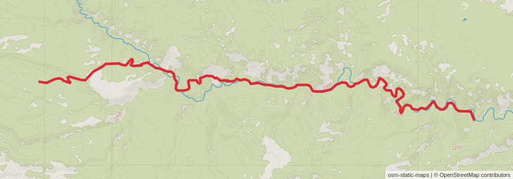
Starting at: Glenwood, Catron County, 88039
Ending at: Glenwood, Catron County, 88039
Distance: 19.0 km
Elevation gain: 418 m
Duration: 04:30:04
View on mapstage 37

Starting at: Glenwood, Catron County, 88039
Ending at: Glenwood, Catron County, 88039
Distance: 15.7 km
Elevation gain: 217 m
Duration: 03:30:21
View on mapstage 38
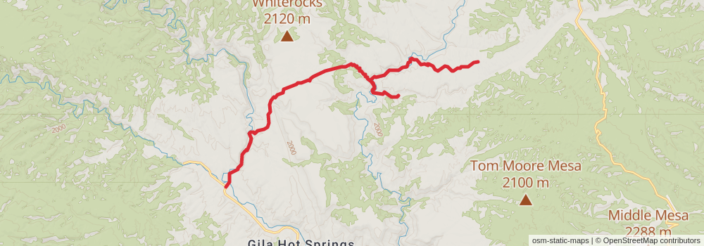
Starting at: Glenwood, Catron County, 88039
Ending at: Winston, Catron County, 87943
Distance: 21.3 km
Elevation gain: 743 m
Duration: 05:29:54
View on mapstage 39
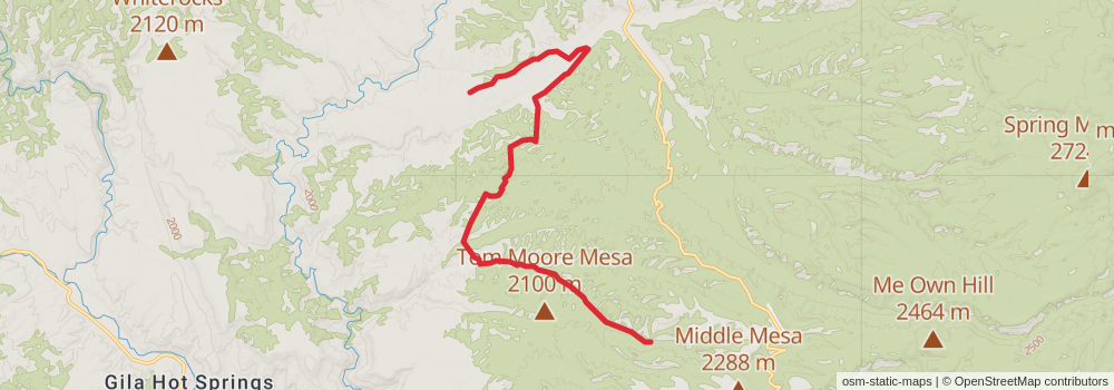
Starting at: Winston, Catron County, 87943
Ending at: Winston, Catron County, 87943
Distance: 18.3 km
Elevation gain: 518 m
Duration: 04:31:22
View on mapstage 40
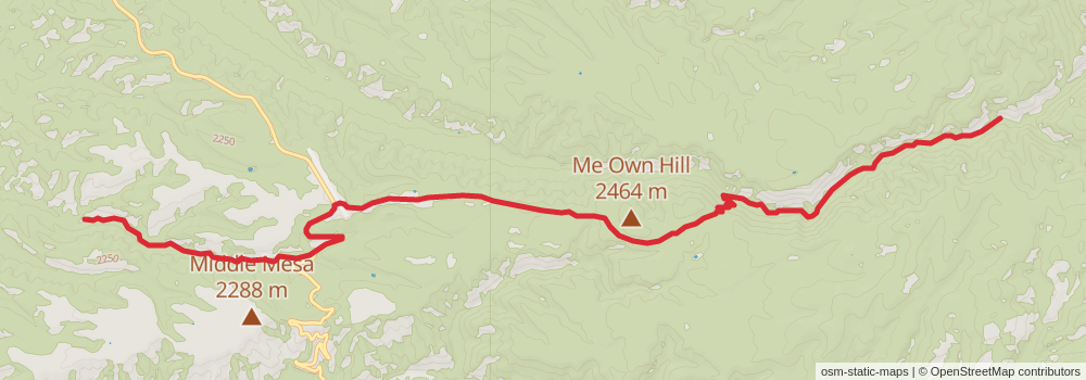
Starting at: Winston, Catron County, 87943
Ending at: Winston, Sierra County, 87943
Distance: 17.4 km
Elevation gain: 615 m
Duration: 04:30:09
View on mapstage 41

Starting at: Winston, Sierra County, 87943
Ending at: Winston, Sierra County, 87943
Distance: 16.0 km
Elevation gain: 781 m
Duration: 04:30:07
View on mapstage 42
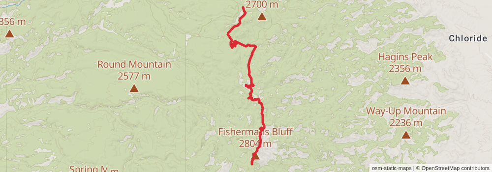
Starting at: Winston, Sierra County, 87943
Ending at: Winston, Sierra County, 87943
Distance: 17.1 km
Elevation gain: 643 m
Duration: 04:30:02
View on mapstage 43
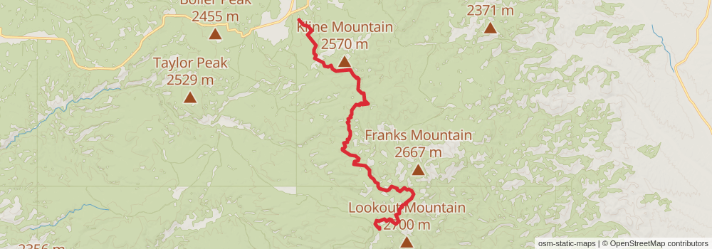
Starting at: Winston, Sierra County, 87943
Ending at: Winston, Sierra County, 87943
Distance: 18.3 km
Elevation gain: 503 m
Duration: 04:30:18
View on mapstage 44
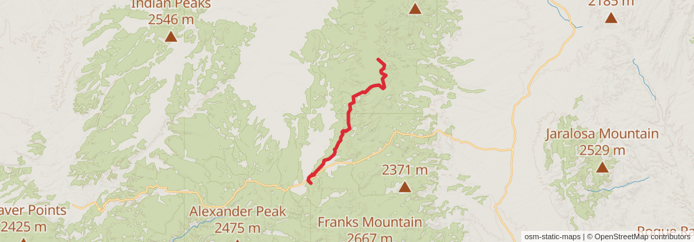
Starting at: Winston, Sierra County, 87943
Ending at: Magdalena, Catron County, 87825
Distance: 18.0 km
Elevation gain: 566 m
Duration: 04:32:14
View on mapstage 45
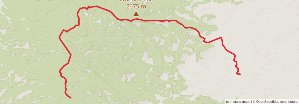
Starting at: Magdalena, Catron County, 87825
Ending at: Socorro County, 87943
Distance: 17.8 km
Elevation gain: 565 m
Duration: 04:30:16
View on mapstage 46
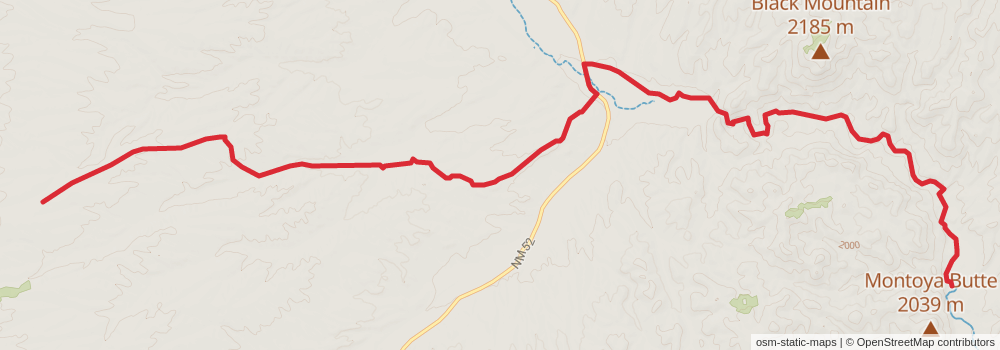
Starting at: Socorro County, 87943
Ending at: Winston, Socorro County, 87943
Distance: 20.5 km
Elevation gain: 241 m
Duration: 04:30:14
View on mapstage 47
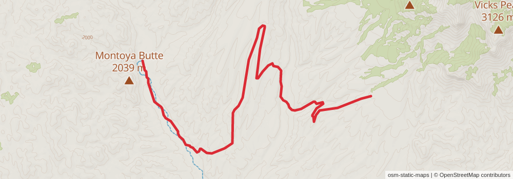
Starting at: Winston, Socorro County, 87943
Ending at: Winston, Socorro County, 87943
Distance: 16.9 km
Elevation gain: 673 m
Duration: 04:30:38
View on mapstage 48
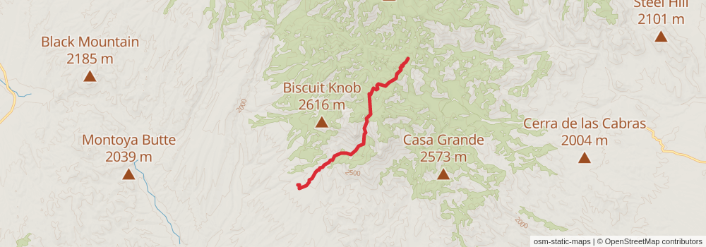
Starting at: Winston, Socorro County, 87943
Ending at: Magdalena, Socorro County, 87825
Distance: 9.9 km
Elevation gain: 1016 m
Duration: 03:40:06
View on mapstage 49
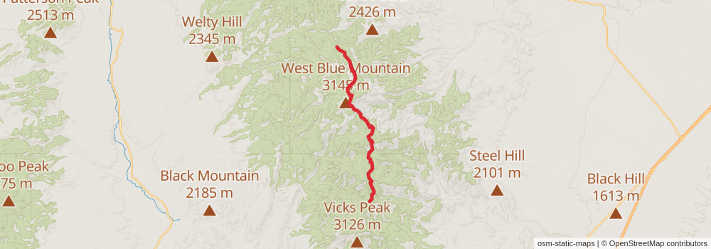
Starting at: Magdalena, Socorro County, 87825
Ending at: Winston, Socorro County, 87943
Distance: 18.5 km
Elevation gain: 993 m
Duration: 05:21:36
View on mapstage 50
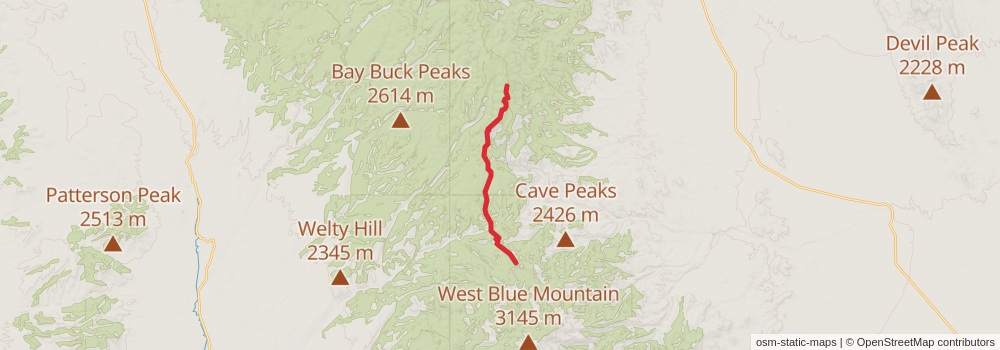
Starting at: Winston, Socorro County, 87943
Ending at: Magdalena, Socorro County, 87825
Distance: 14.5 km
Elevation gain: 974 m
Duration: 04:31:04
View on mapstage 51
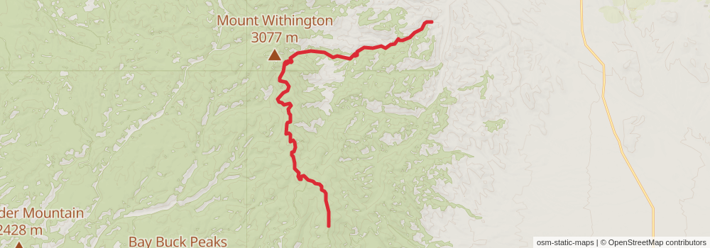
Starting at: Magdalena, Socorro County, 87825
Ending at: Magdalena, Socorro County, 87825
Distance: 18.8 km
Elevation gain: 441 m
Duration: 04:30:11
View on mapstage 52
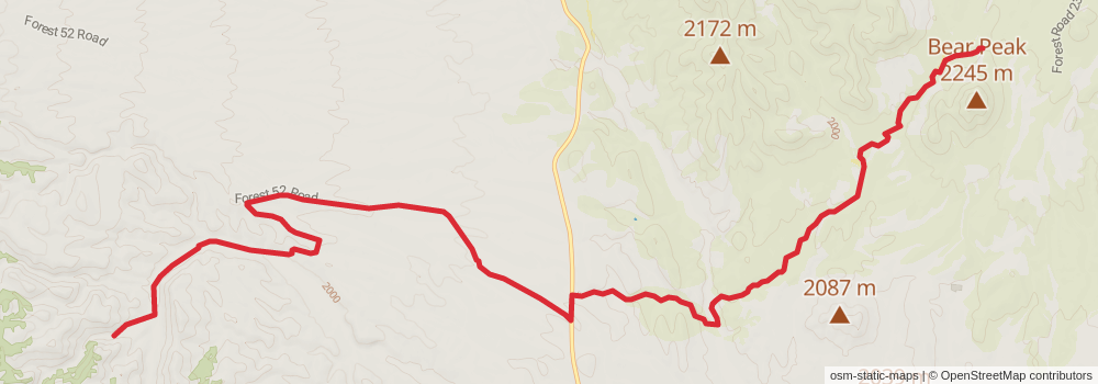
Starting at: Magdalena, Socorro County, 87825
Ending at: Socorro County, 87825
Distance: 20.0 km
Elevation gain: 309 m
Duration: 04:30:39
View on mapstage 53
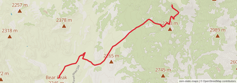
Starting at: Socorro County, 87825
Distance: 13.2 km
Elevation gain: 1130 m
Duration: 04:30:53
View on mapstage 54
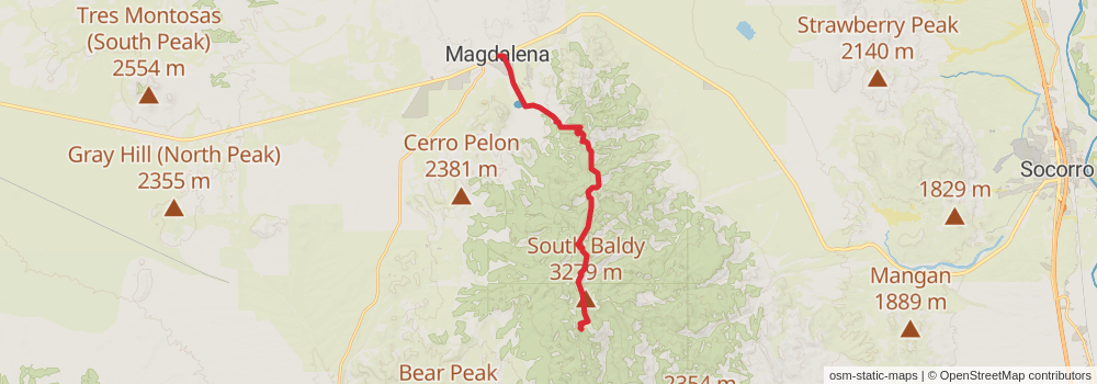
Ending at: Magdalena, Socorro County, 87825
Distance: 22.5 km
Elevation gain: 603 m
Duration: 05:30:10
View on mapstage 55
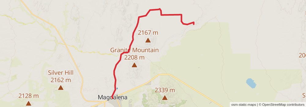
Starting at: Wells Fargo, Magdalena, Socorro County, 87825
Ending at: Socorro County, 87825
Distance: 17.0 km
Elevation gain: 84 m
Duration: 03:32:44
View on mapstage 56
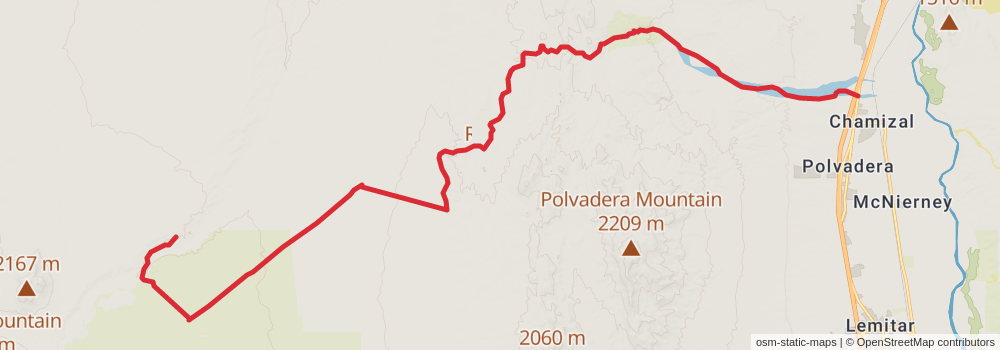
Starting at: Socorro County, 87825
Ending at: Chamizal, Socorro County, 87831
Distance: 33.3 km
Elevation gain: 202 m
Duration: 07:00:14
View on mapstage 57
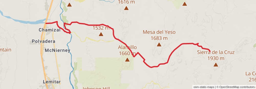
Starting at: Chamizal, Socorro County, 87831
Ending at: Socorro County
Distance: 29.5 km
Elevation gain: 381 m
Duration: 06:31:55
View on mapstage 58
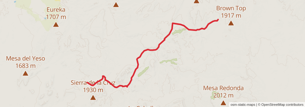
Starting at: Socorro County
Ending at: Mountainair, Socorro County, 87036
Distance: 20.4 km
Elevation gain: 335 m
Duration: 04:38:39
View on mapstage 59
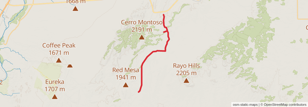
Starting at: Mountainair, Socorro County, 87036
Ending at: Mountainair, Socorro County, 87036
Distance: 21.6 km
Elevation gain: 115 m
Duration: 04:31:07
View on mapstage 60
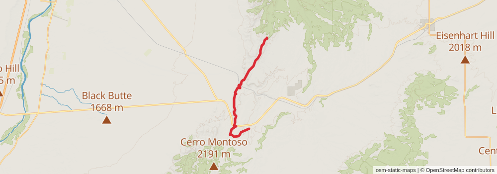
Starting at: Mountainair, Socorro County, 87036
Ending at: Valencia County, 87002
Distance: 18.2 km
Elevation gain: 513 m
Duration: 04:30:10
View on map