Hieroglyphic, Superstition Peak, Carney Springs and Lost Goldmine Loop Trail
Download
Preview
Add to list
More
19.2 km
~1 day 1 hrs
1406 m
Loop
“Embark on a challenging 19-km loop in Arizona's Superstition Wilderness, featuring ancient petroglyphs and stunning vistas.”
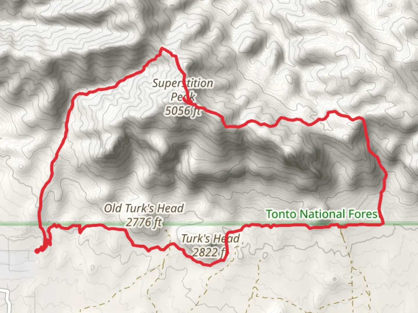
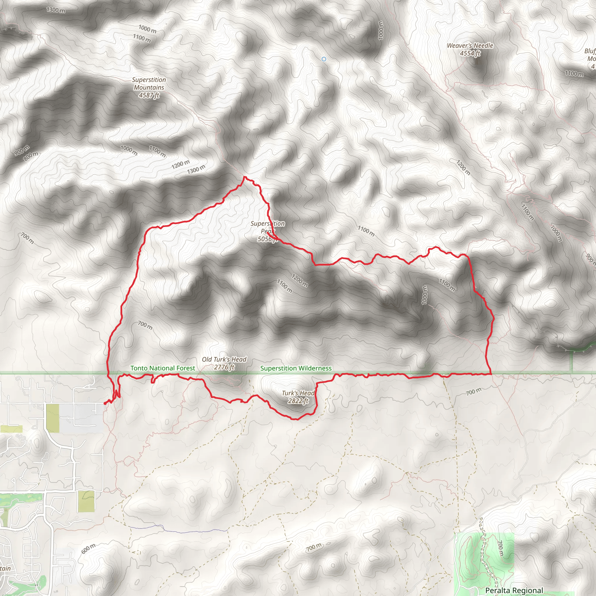
Starting your adventure near Pinal County, Arizona, this loop trail spans approximately 19 kilometers (around 12 miles) with an elevation gain of about 1400 meters (4600 feet). The trailhead is accessible by car, with parking available near the Lost Goldmine Trailhead. Public transport options are limited, so driving is recommended.### Trail OverviewThe loop combines several trails: Hieroglyphic, Superstition Peak, Carney Springs, and Lost Goldmine. This diverse route offers a mix of historical landmarks, challenging ascents, and breathtaking views. The trail is rated medium in difficulty, making it suitable for experienced hikers looking for a full-day adventure.### Hieroglyphic TrailStarting from the trailhead, the first segment is the Hieroglyphic Trail. This section is relatively gentle, covering about 2.4 kilometers (1.5 miles) with a modest elevation gain. The highlight here is the Hieroglyphic Canyon, where you can find ancient petroglyphs etched into the rocks by the Hohokam people, who inhabited the region over a thousand years ago. This area is also home to seasonal pools and waterfalls, especially after rainfall.### Superstition PeakAs you transition to the Superstition Peak segment, the trail becomes steeper and more rugged. This part of the hike covers approximately 5 kilometers (3.1 miles) with a significant elevation gain. The climb is strenuous but rewarding, offering panoramic views of the Superstition Wilderness. Keep an eye out for native wildlife such as javelinas, mule deer, and various bird species. The flora is equally impressive, with saguaro cacti and desert wildflowers dotting the landscape.### Carney SpringsThe Carney Springs section is a descent that spans around 4 kilometers (2.5 miles). This part of the trail is less traveled and can be tricky to navigate, so it's advisable to use a reliable navigation tool like HiiKER. The descent offers a mix of rocky terrain and loose gravel, so sturdy hiking boots are essential. Along the way, you'll encounter remnants of old mining operations, a nod to the area's rich history during the gold rush era.### Lost Goldmine TrailThe final leg of the loop is the Lost Goldmine Trail, which stretches for about 7.6 kilometers (4.7 miles). This section is relatively flat and easier to navigate, providing a welcome respite after the challenging climbs and descents. The trail meanders through the desert landscape, offering views of the Superstition Mountains and the distant cityscape of Phoenix. This part of the trail is also rich in folklore, with tales of hidden gold mines and lost treasures adding an element of mystery to your hike.### Preparation and SafetyGiven the trail's length and elevation gain, it's crucial to be well-prepared. Carry plenty of water, especially during the hotter months, and pack high-energy snacks. Weather can change rapidly, so layers are recommended. A first-aid kit, sun protection, and a map or GPS device like HiiKER are essential for a safe and enjoyable hike.### Getting ThereTo reach the trailhead, drive to the Lost Goldmine Trailhead near Pinal County, Arizona. The nearest significant landmark is the Peralta Trailhead, which is well-signposted and easy to find. From Phoenix, it's about a 45-minute drive east on US-60 E, followed by a turn onto Peralta Road. The road can be rough, so a vehicle with good ground clearance is recommended. Public transport options are limited, making driving the most practical way to access the trailhead.
What to expect?
Activity types
Comments and Reviews
User comments, reviews and discussions about the Hieroglyphic, Superstition Peak, Carney Springs and Lost Goldmine Loop Trail, Arizona.
4.57
average rating out of 5
7 rating(s)
