Download
Preview
Add to list
More
17.6 km
~1 day 0 hrs
1261 m
Point-to-Point
“Embark on the Finger Rock and Pima Canyon Horseshoe Trail for a scenic, historic, and challenging adventure.”
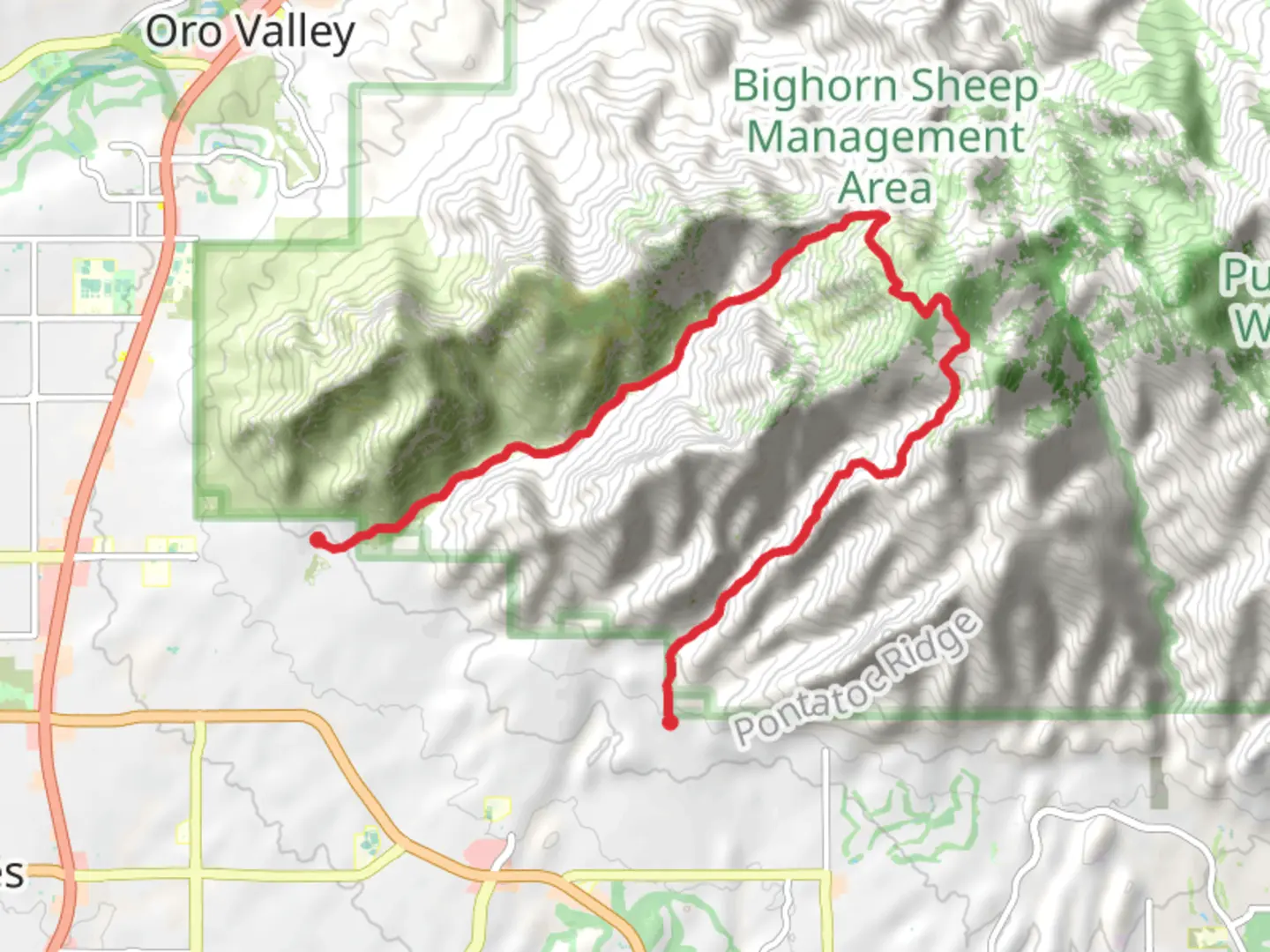
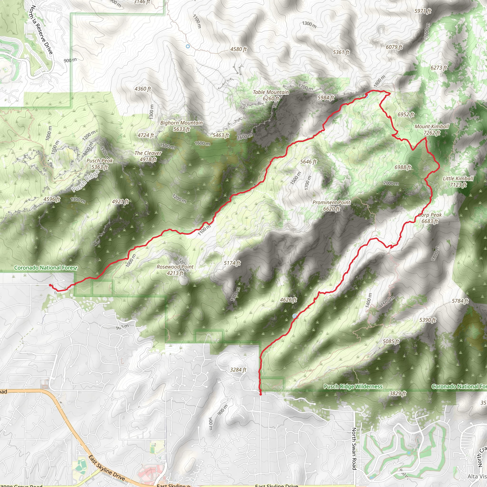
The Finger Rock and Pima Canyon Horseshoe Trail is a challenging yet rewarding hike located near Pima County, Arizona. Spanning approximately 18 kilometers (about 11 miles) with an elevation gain of around 1200 meters (nearly 3937 feet), this point-to-point trail offers a diverse and engaging hiking experience.
Getting to the Trailhead To reach the trailhead, you can drive to the end of Alvernon Way, which turns into East Finger Rock Trail, Tucson, AZ. There is a parking area where you can leave your car before embarking on your hike. For those relying on public transport, check local schedules for buses that get you closest to the trailhead, and be prepared for a bit of a walk to reach the starting point.
The Hike As you begin your hike, the initial ascent is quite steep, and the trail can be rocky, so good hiking boots are recommended. The trail is well-marked, but carrying a map or using the HiiKER app for navigation is advisable to keep track of your progress and ensure you're on the right path.
Landmarks and Scenery The trail offers stunning views of the Santa Catalina Mountains and the Sonoran Desert. Early on, you'll encounter the impressive Finger Rock formation, which resembles a closed fist with an extended index finger pointing skyward. This natural landmark is a popular subject for photographers and a good indicator that you're on the right track.
As you continue, the vegetation transitions from desert scrub to a more forested environment, with various cacti, including the iconic saguaro, and potentially blooming wildflowers depending on the season. Keep an eye out for wildlife such as deer, javelinas, and various bird species, including the occasional glimpse of a soaring hawk or eagle.
Historical Significance The region is rich in history, with the Santa Catalina Mountains having been home to indigenous peoples for thousands of years. The Hohokam, in particular, are known to have inhabited the area, and evidence of their presence can be seen in petroglyphs and other archaeological sites throughout the range.
Trail Navigation and Safety The trail is considered to have a medium difficulty rating, but don't let that fool you into underestimating the rugged terrain and potential for rapid weather changes. Be sure to pack plenty of water, as the Arizona heat can be intense, and there are no reliable water sources along the trail. Additionally, sun protection, snacks, and a first-aid kit are essential for a safe and enjoyable hike.
Final Ascent and Descent The last section of the trail involves a steep ascent to the highest point of the hike, which provides panoramic views of the surrounding landscape. After soaking in the vistas, the descent through Pima Canyon is less steep but can be tricky with loose gravel and switchbacks. Take your time and watch your footing.
Remember, the trail is point-to-point, so you'll need to arrange transportation back from the end of the trail unless you plan to hike back the way you came. It's a good idea to plan this in advance to avoid being stranded after a long day of hiking.
What to expect?
Activity types
Comments and Reviews
User comments, reviews and discussions about the Finger Rock and Pima Canyon Horseshoe Trail, Arizona.
4.5
average rating out of 5
16 rating(s)
