Download
Preview
Add to list
More
18.5 km
~2 days
642 m
Multi-Day
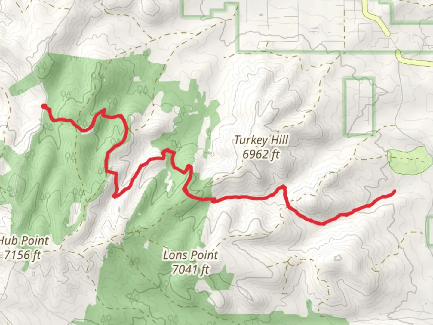
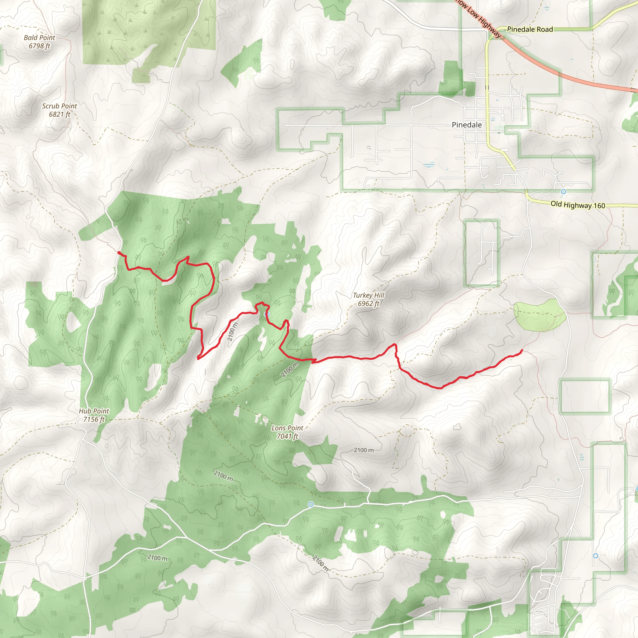
The General Crook Connector Trail offers an immersive hiking experience through the diverse landscapes near Navajo County, Arizona. Spanning approximately 19 kilometers (about 12 miles) with an elevation gain of around 600 meters (roughly 1,968 feet), this loop trail is rated as medium difficulty, making it accessible to hikers with a reasonable level of fitness.
Getting to the Trailhead To reach the trailhead, which is situated near Navajo County, hikers can drive to the vicinity of the Mogollon Rim, an area known for its stunning vistas and geological significance. There is no direct public transportation to the trailhead, so access is typically by personal vehicle. Parking is available near the start of the trail, which can be found using the HiiKER app for precise navigation.
Navigating the Trail As you embark on the General Crook Connector Trail, you'll traverse through a variety of terrains, including dense pine forests, open meadows, and rocky outcrops. The trail is well-marked, but carrying a map or using a navigation tool like HiiKER is recommended to keep track of your progress and ensure you remain on the correct path.
Landmarks and Historical Significance The trail is named after General George Crook, a prominent figure in the Apache Wars during the late 19th century. As you hike, you'll encounter segments of the original General Crook Trail, which was used by the military during this period. This historical route played a significant role in the settlement of the region and is a point of interest for history enthusiasts.
Flora and Fauna The area is rich in biodiversity. Hikers can expect to see a range of plant life, from towering ponderosa pines to vibrant wildflowers, particularly in the spring and summer months. Wildlife sightings may include elk, deer, and a variety of bird species, so keep your eyes peeled and your camera ready.
Preparation and Safety Due to the trail's length and elevation gain, it's important to come prepared with adequate water, snacks, and layers of clothing to adapt to changing weather conditions. The trail can be rocky and uneven in places, so sturdy hiking boots are a must. Additionally, be mindful of the altitude and pace yourself accordingly to prevent altitude sickness.
Seasonal Considerations The General Crook Connector Trail is accessible year-round, but the experience can vary greatly depending on the season. Snow can cover the trail in winter, making it a challenge for those who are not prepared for cold-weather hiking. Spring and fall offer milder temperatures and beautiful foliage, while summer brings warmer weather and the chance of afternoon thunderstorms.
By planning ahead and respecting the natural and historical significance of the area, hikers can enjoy a rewarding experience on the General Crook Connector Trail.
Comments and Reviews
User comments, reviews and discussions about the General Crook Connector Trail, Arizona.
4.0
average rating out of 5
1 rating(s)
