Download
Preview
Add to list
More
8.6 km
~1 hrs 59 min
164 m
Loop
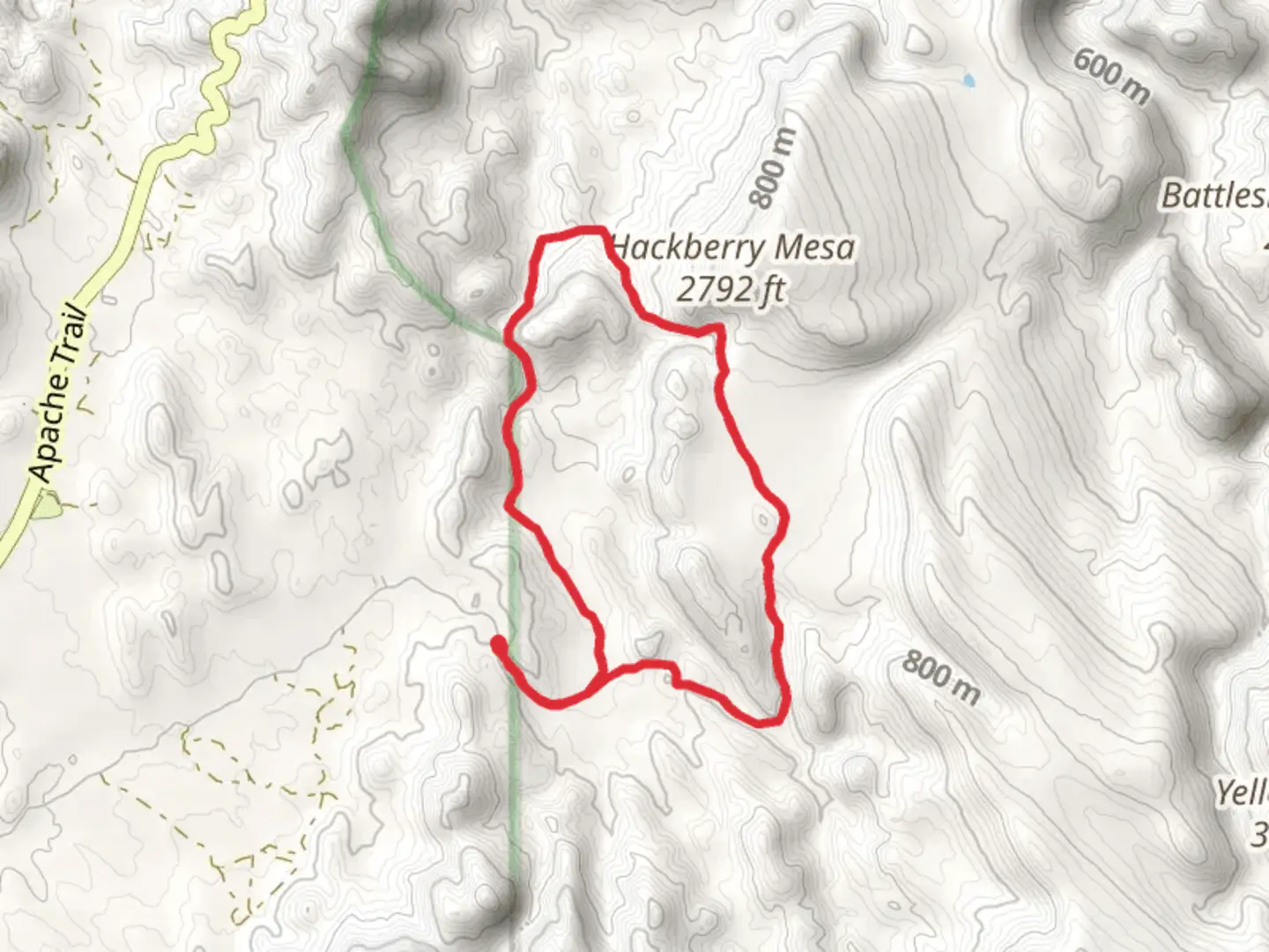
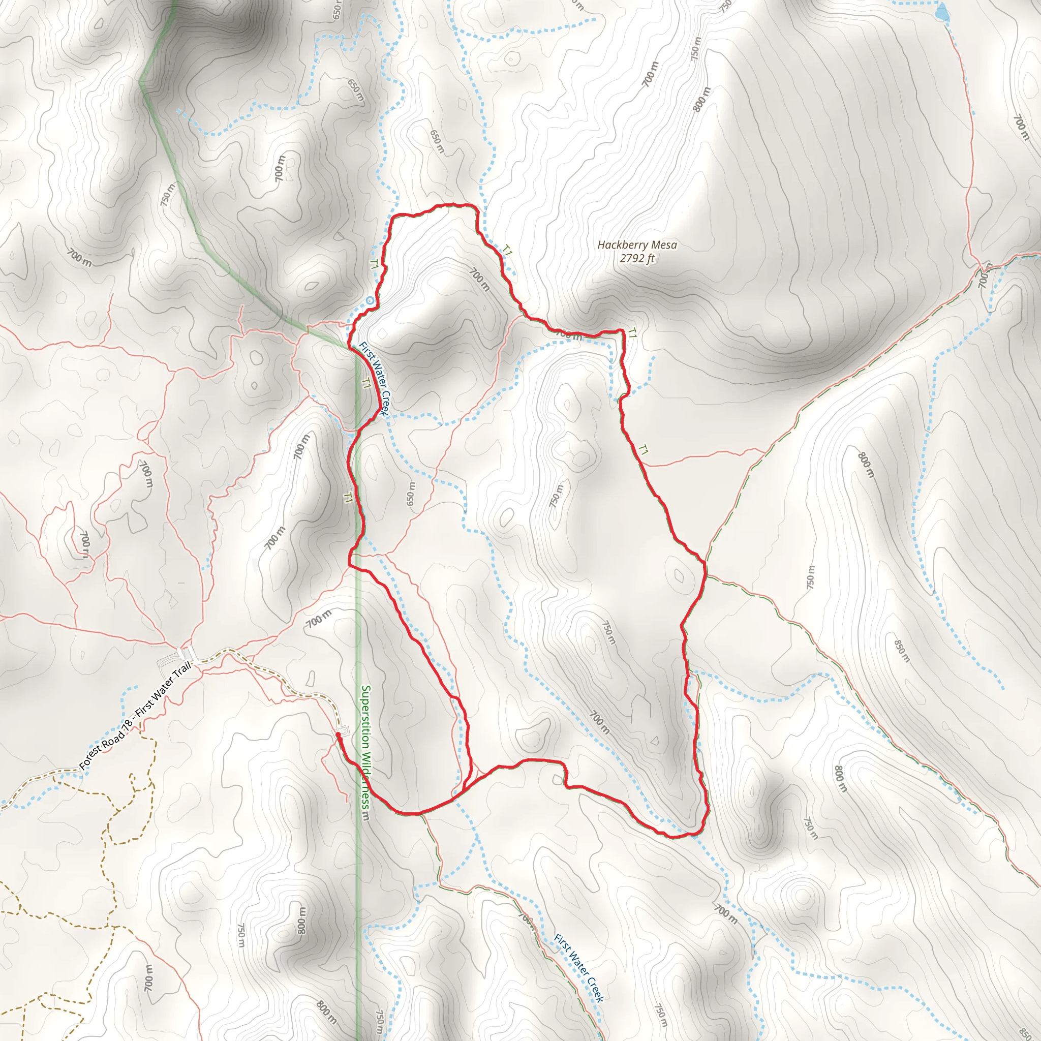
The Second Water Trail to Hackberry Springs Loop is a moderately challenging hike located near Maricopa County, Arizona, offering a diverse array of desert landscapes, historical significance, and natural beauty. Spanning approximately 9 kilometers (about 5.6 miles) with an elevation gain of around 100 meters (328 feet), this loop trail is a favorite among hikers looking to explore the Superstition Wilderness area.
Getting to the Trailhead
The trailhead is accessible by car and is located in the Tonto National Forest, near the town of Apache Junction. To reach the starting point, take US Highway 60 to the exit for Idaho Road/AZ-88 E. Follow AZ-88 E, also known as the Apache Trail, for about 24 kilometers (15 miles) until you reach the First Water Trailhead turnoff on the right. There is a parking area where you can leave your vehicle before beginning your hike. Public transportation options are limited in this area, so driving is the most feasible way to access the trailhead.
Navigating the Trail
As you embark on the Second Water Trail, you'll be greeted by the iconic saguaro cacti standing tall against the backdrop of the Superstition Mountains. The trail is well-marked, but carrying a map or using a navigation tool like HiiKER is recommended to stay on track. The path will lead you through a landscape dotted with cholla, prickly pear, and mesquite, typical of the Sonoran Desert.
After approximately 2.5 kilometers (1.5 miles), you'll reach the intersection with the Black Mesa Trail. Continue straight to stay on the Second Water Trail. The terrain here is relatively flat, but be prepared for loose rocks and sandy washes that can make footing a bit tricky.
Historical Significance and Landmarks
The Superstition Wilderness is steeped in history and legend, most notably the tale of the Lost Dutchman's Gold Mine. As you hike, imagine the countless prospectors who traversed these trails in search of fortune. Keep an eye out for remnants of the area's mining past, including old prospect holes and mining equipment.
Around the halfway point, you'll find Hackberry Spring, a natural water source that has been used by wildlife and humans for centuries. The spring is a great spot to rest and look for signs of animals such as deer, javelina, and a variety of bird species that frequent the area.
Completing the Loop
Continuing on from Hackberry Spring, the trail begins to loop back towards the trailhead. You'll experience a slight increase in elevation as you navigate the rolling hills, offering panoramic views of the surrounding desert. The descent back to the trailhead is gradual, allowing you to take in the scenery one last time.
As you complete the loop, take a moment to appreciate the rugged beauty of the Superstition Wilderness and the rich history that surrounds you. Remember to pack out all trash, leave what you find, and respect the wildlife and natural resources to preserve the trail for future hikers.
Comments and Reviews
User comments, reviews and discussions about the Second Water Trail to Hackberry Springs Loop Trail, Arizona.
4.4
average rating out of 5
5 rating(s)
