Download
Preview
Add to list
More
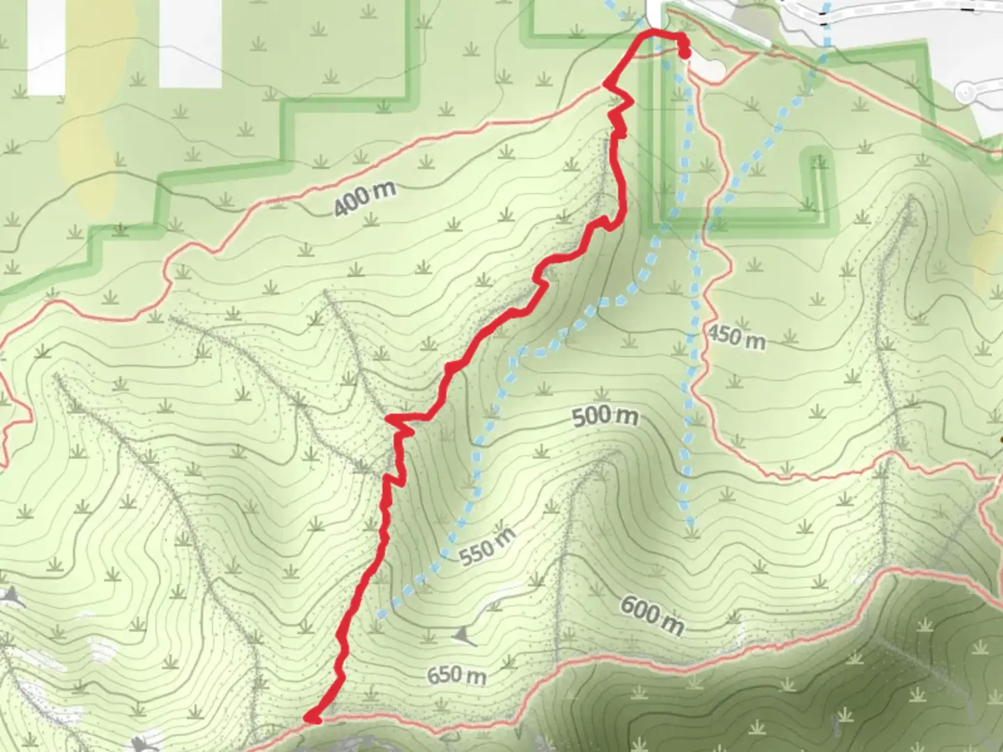
3.5 km
~1 hrs 14 min
321 m
Out and Back
“Embark on the Ma ha Tuak Range trail to uncover the Sonoran Desert's splendor and history.”
Nestled near Maricopa County, Arizona, the Ma ha Tuak Range trail offers a moderately challenging hike that spans approximately 4 km (about 2.5 miles) with an elevation gain of around 300 meters (roughly 980 feet). This out-and-back trail is a favorite among locals and visitors looking to experience the rugged beauty of the South Mountain Park and Preserve.
Getting to the Trailhead To reach the trailhead from downtown Phoenix, take the I-10 freeway to the 7th Avenue exit and head south. Continue on 7th Avenue until you reach Baseline Road, where you'll turn right. Follow Baseline Road to 19th Avenue, then turn left and head south. The trailhead is located just off South 19th Avenue, where you'll find parking available. For those opting for public transportation, check local bus schedules as routes may change, but typically buses run along Baseline Road with stops near 19th Avenue.
Trail Experience As you embark on your hike, the initial section of the trail is relatively flat, allowing you to warm up before the ascent begins. The path is well-defined and marked, but it's always wise to have HiiKER downloaded on your mobile device for easy navigation and to track your progress.
Flora and Fauna As you ascend, the landscape is dotted with the iconic saguaro cactus standing tall against the backdrop of the Sonoran Desert. Keep an eye out for the vibrant blooms of the prickly pear and cholla cacti, especially during the spring months. The area is also home to a variety of wildlife, including the Gila woodpecker, Gambel's quail, and if you're lucky, you might spot a chuckwalla lizard basking on a sun-warmed rock.
Historical Significance The South Mountain Park and Preserve is steeped in history, with the Ma ha Tuak Range being part of the ancestral lands of the Akimel O'odham (Pima) and the Pee Posh (Maricopa) tribes. As you hike, consider the centuries of history beneath your feet, from ancient petroglyphs etched into the rocks to remnants of old mining operations from the late 19th century.
Navigating the Ascent The trail becomes more challenging as you approach the halfway point, with steeper inclines and rocky terrain. The elevation gain is gradual but noticeable, and you'll want to pace yourself accordingly. At around the 1.5 km (just under a mile) mark, you'll encounter a series of switchbacks that will test your endurance.
Summit and Views Upon reaching the summit area, you'll be rewarded with panoramic views of the Phoenix skyline to the north and the sprawling desert landscape stretching out in all other directions. The summit is an excellent spot for a rest and a snack before you begin your descent back to the trailhead.
Preparation and Safety Due to the arid environment, it's crucial to carry plenty of water—at least one gallon per person is recommended. Sun protection, such as sunscreen, a hat, and sunglasses, is also essential. The best times to hike are during the cooler months or early in the morning during the summer to avoid the intense midday heat.
Remember, the Ma ha Tuak Range trail offers a glimpse into the rugged beauty and history of the Sonoran Desert, providing a satisfying challenge for hikers seeking to explore the natural wonders of the South Mountain Park and Preserve.

What to expect?
Activity types
Comments and Reviews
User comments, reviews and discussions about the Ma ha Tuak Range from South 19th Avenue, Arizona.
4.42
average rating out of 5
12 rating(s)