Download
Preview
Add to list
More
28.7 km
~2 days
1528 m
Multi-Day
“Embark on a historic, biodiverse 29 km loop through Arizona's stunning Graham County landscapes.”
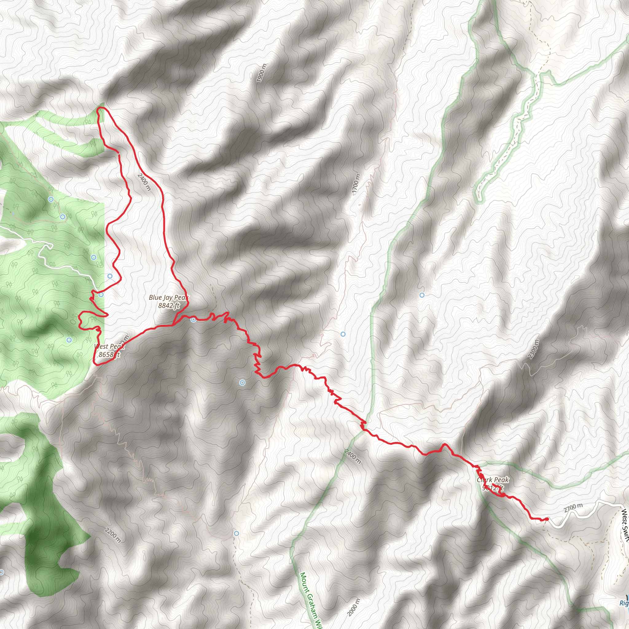
The Clark Peak Trail and Blue Jay Ridge Trail loop is a moderately challenging hike that spans approximately 29 kilometers (18 miles) with an elevation gain of around 1500 meters (4921 feet). This scenic loop is nestled in the heart of the picturesque landscape near Graham County, Arizona, offering hikers a diverse array of flora, fauna, and historical significance.
Getting to the Trailhead To reach the trailhead, hikers can drive to the vicinity of Graham County, where the trail begins. There is no direct public transportation to the trailhead, so a personal vehicle or a taxi service is necessary. Parking is available near the starting point, which is conveniently located just off a main road, making it accessible for most vehicles.
Navigating the Trail Once on the trail, hikers can utilize the HiiKER app to navigate the loop, ensuring they stay on the correct path. The trail is well-marked, but as with any hike, it's essential to have a reliable navigation tool, especially in areas where the trail may become less distinct.
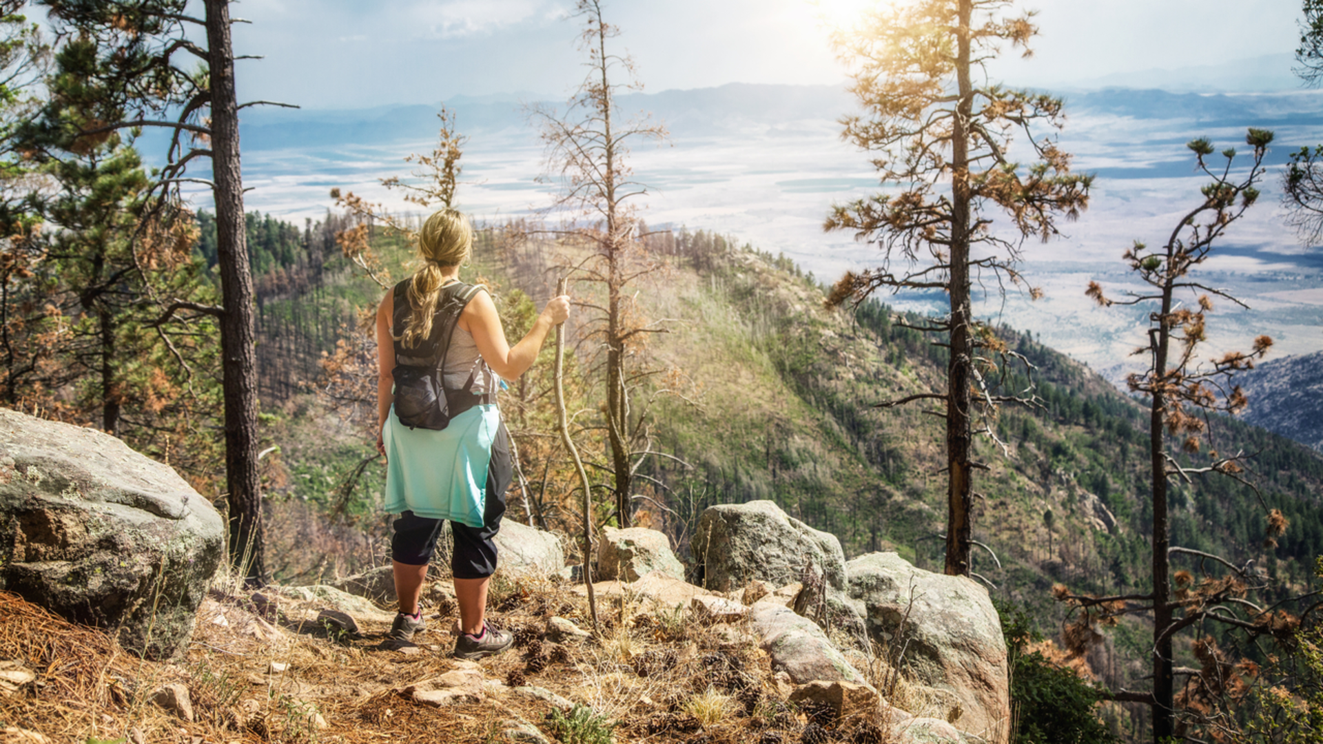
Landmarks and Scenery As you embark on the Clark Peak Trail, you'll be greeted with a gradual ascent through a forested area, rich with a variety of conifers and deciduous trees. Approximately 5 kilometers (3.1 miles) in, you'll reach a clearing that offers the first panoramic view of the surrounding mountains, a perfect spot for a brief rest and photo opportunity.
Continuing on, the trail becomes steeper, and at around the 10-kilometer (6.2-mile) mark, you'll find yourself at the base of Clark Peak itself. Here, the landscape opens up to reveal rugged terrain and the chance to spot local wildlife, including deer and various bird species.
Historical Significance The region is steeped in history, with the trails cutting through areas that were once significant to indigenous peoples and early settlers. As you hike, consider the centuries of footsteps that have traversed these paths, adding a layer of depth to your journey.
Flora and Fauna The diverse elevation changes along the trail support a wide range of plant and animal life. In the lower sections, you'll encounter cacti and desert scrub, while higher elevations boast wildflowers and alpine meadows during the spring and summer months. Keep an eye out for the occasional coyote or bobcat, and remember to respect the natural habitat by keeping a safe distance from any wildlife you encounter.
Blue Jay Ridge Trail As you loop back on the Blue Jay Ridge Trail, the descent begins. This portion of the hike offers a different perspective, with views of the valley below and the opportunity to walk along ridgelines that provide a sense of the vastness of the area. The trail here is less strenuous, allowing for a more leisurely pace as you complete the final 14 kilometers (8.7 miles) back to the trailhead.
Preparation and Safety Given the trail's length and elevation gain, it's essential to be well-prepared with adequate water, food, and layers of clothing to accommodate changing weather conditions. The hike can take a full day, so starting early is advisable to ensure you have enough daylight. Always let someone know your hiking plan and expected return time.
Conclusion The Clark Peak Trail and Blue Jay Ridge Trail loop is a rewarding experience for those looking to immerse themselves in the natural beauty and historical tapestry of Graham County, Arizona. With its moderate difficulty, it's accessible to hikers who have a reasonable level of fitness and are looking for an adventure that offers both a physical challenge and a rich sensory experience.
Comments and Reviews
User comments, reviews and discussions about the Clark Peak Trail and Blue Jay Ridge Trail, Arizona.
4.0
average rating out of 5
1 rating(s)

