Download
Preview
Add to list
More
9.4 km
~2 hrs 20 min
279 m
Out and Back
“Explore the Saddle Mountain Walk, a 9 km trail of stunning vistas, rich history, and moderate challenges.”
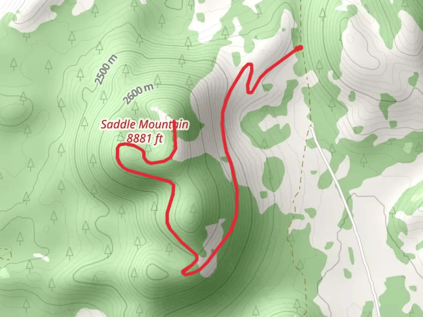
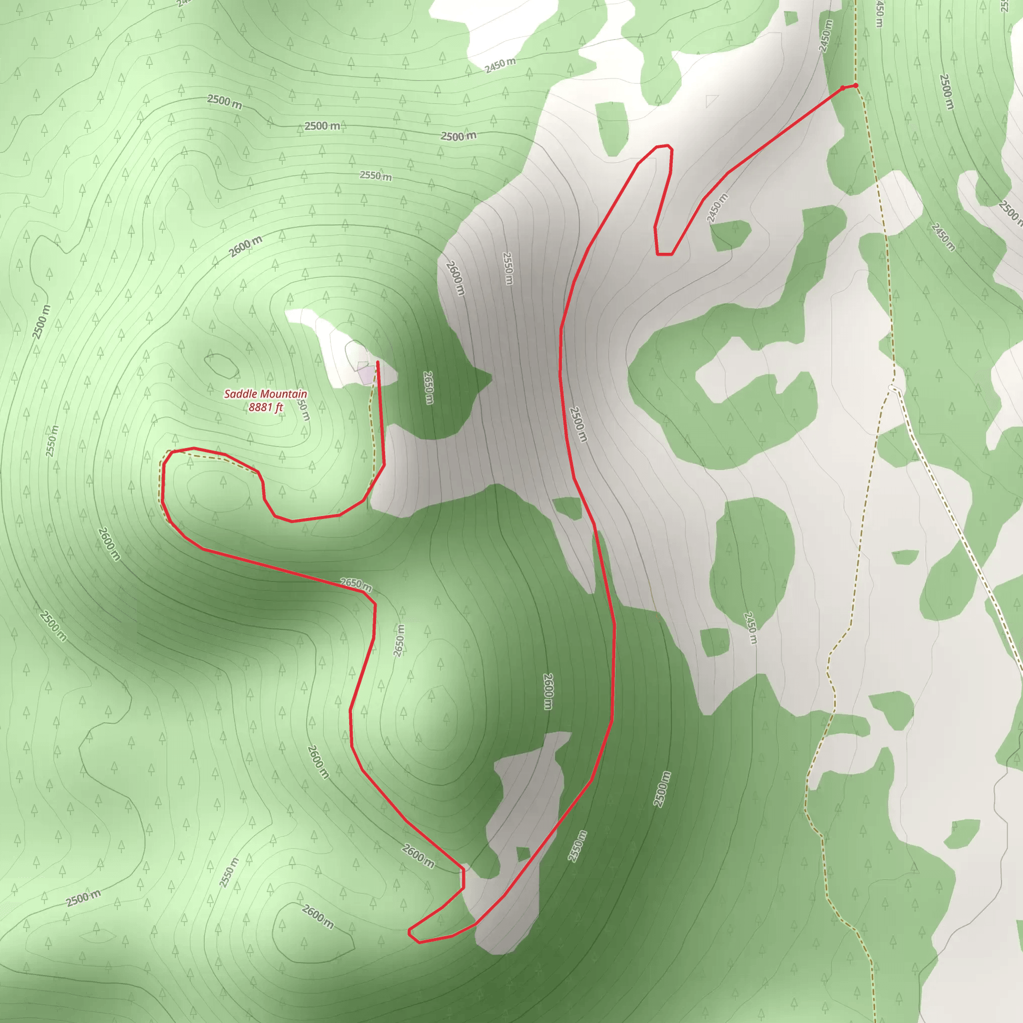
Starting near Coconino County, Arizona, the Saddle Mountain Walk is an invigorating out-and-back trail that stretches approximately 9 kilometers (5.6 miles) with an elevation gain of around 200 meters (656 feet). This medium-difficulty hike offers a blend of natural beauty, historical significance, and a moderate challenge suitable for a wide range of hikers.
Getting There To reach the trailhead, you can drive or use public transportation. If you're driving, head towards the vicinity of Flagstaff, Arizona. From Flagstaff, take US-89 north for about 50 miles (80 kilometers) until you reach the turnoff for Forest Road 545. Follow this road for approximately 10 miles (16 kilometers) to the trailhead. For those using public transport, you can take a bus from Flagstaff to Cameron, Arizona, and then arrange for a local taxi or shuttle service to the trailhead.
Trail Overview The trail begins with a gentle ascent through a forested area, where you'll be surrounded by towering Ponderosa pines and a variety of other native flora. As you progress, the trail becomes steeper, offering glimpses of the expansive landscape that awaits you at higher elevations.
Significant Landmarks and Nature At around the 2-kilometer (1.2-mile) mark, you'll encounter a scenic overlook that provides a stunning view of the Painted Desert. This is a great spot to take a break and soak in the vibrant colors of the landscape. Continuing on, the trail winds through a series of switchbacks, gradually gaining elevation.
Wildlife Keep an eye out for local wildlife, including mule deer, elk, and a variety of bird species such as the Steller's jay and the red-tailed hawk. The area is also home to smaller creatures like the Arizona tree frog and various lizard species.
Historical Significance The region around Saddle Mountain has a rich history. It was once inhabited by the Ancestral Puebloans, and you may come across remnants of their ancient dwellings and pottery shards along the trail. These artifacts offer a glimpse into the lives of the people who once called this area home.
Navigation and Safety Given the moderate difficulty of the trail, it's advisable to use a reliable navigation tool like HiiKER to keep track of your progress and ensure you stay on the correct path. The trail is well-marked, but having a digital map can provide extra peace of mind.
Final Stretch As you approach the 4.5-kilometer (2.8-mile) mark, you'll reach the saddle of Saddle Mountain. Here, you'll be rewarded with panoramic views of the surrounding valleys and distant mountain ranges. This is the perfect spot to rest, take photos, and enjoy a snack before beginning your descent back to the trailhead.
Preparation Tips Make sure to bring plenty of water, especially during the hotter months, as the Arizona sun can be intense. Wear sturdy hiking boots, and consider bringing trekking poles to help with the steeper sections of the trail. Always check the weather forecast before heading out, as conditions can change rapidly in this region.
By following these guidelines and being well-prepared, you'll have a memorable and enjoyable hike on the Saddle Mountain Walk.
What to expect?
Activity types
Comments and Reviews
User comments, reviews and discussions about the Saddle Mountain Walk, Arizona.
4.56
average rating out of 5
18 rating(s)
