Download
Preview
Add to list
More
24.6 km
~2 days
1391 m
Multi-Day
Bright Angel Trail
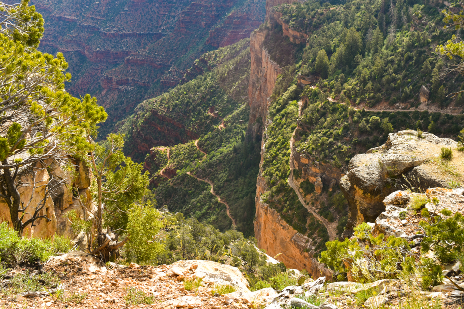
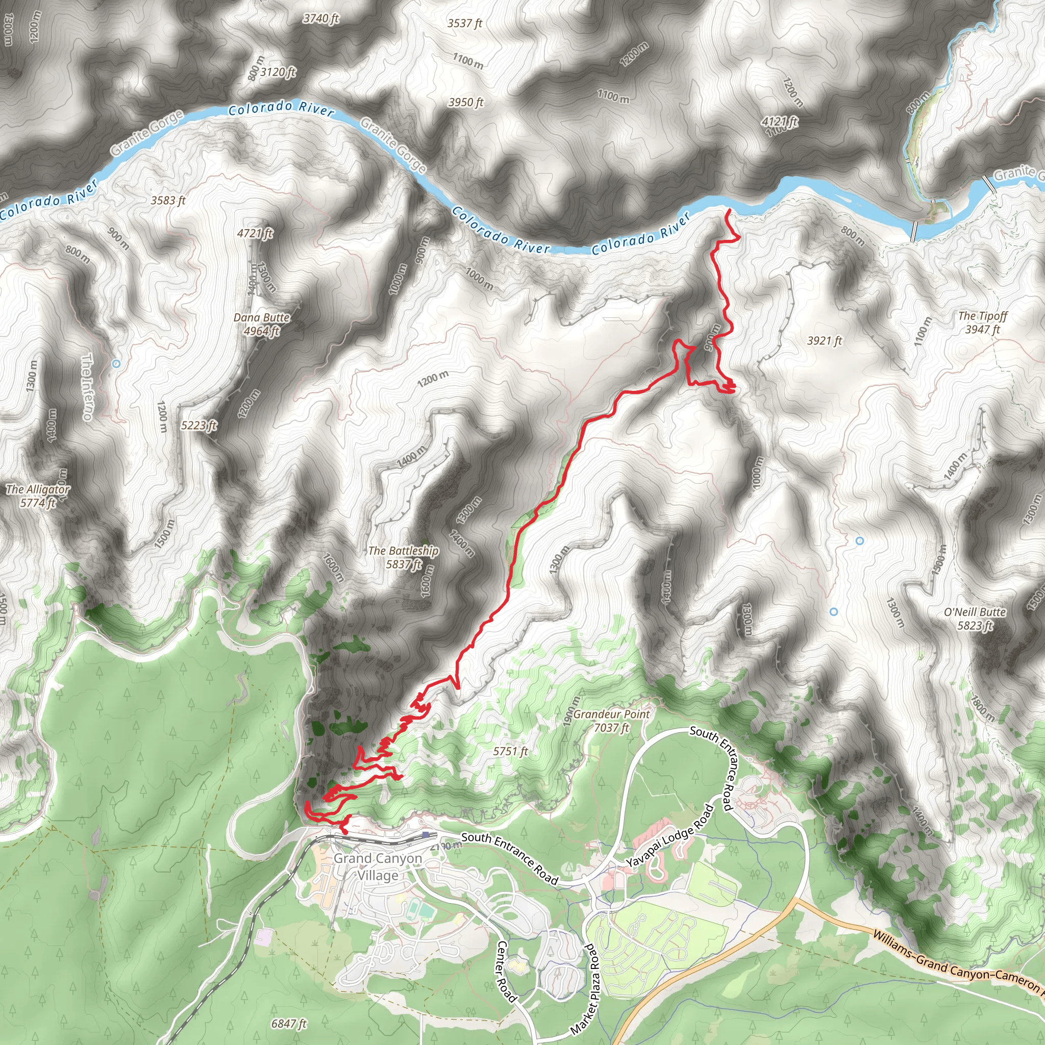
The Bright Angel Trail offers an immersive hiking experience within the Grand Canyon National Park, starting near the park's primary visitor center at the South Rim. This iconic trail descends approximately 1300 meters (4265 feet) into the canyon, covering a round-trip distance of about 25 kilometers (15.5 miles). It's an out-and-back trail, meaning hikers will retrace their steps to return to the starting point.
Getting There
To reach the trailhead, visitors can drive to the Grand Canyon Visitor Center, located near Coconino County, Arizona. The physical address is near the Grand Canyon Village. For those relying on public transportation, the Grand Canyon National Park offers a shuttle bus system that provides access to the trailhead from various points within the park.
Trail Experience
As hikers embark on the Bright Angel Trail, they'll be treated to a series of breathtaking views and geological wonders. The trail begins near the Bright Angel Lodge and descends past the 1.5 Mile Resthouse, which is approximately 2.4 kilometers (1.5 miles) from the trailhead. This section of the trail offers a moderate descent, allowing hikers to acclimate to the elevation change.
Continuing on, the trail reaches the 3 Mile Resthouse, about 4.8 kilometers (3 miles) from the start. Here, hikers can take a break and enjoy the scenery before proceeding to Indian Garden, located roughly 7.2 kilometers (4.5 miles) from the trailhead. Indian Garden is an oasis with water and shade, providing a perfect spot for rest and refueling.
For those venturing further, Plateau Point is an additional 2.4 kilometers (1.5 miles) beyond Indian Garden. This vantage point offers panoramic views of the inner canyon and the Colorado River. It's important to note that the trail becomes steeper and more challenging beyond Indian Garden.
Wildlife and Nature
The Bright Angel Trail is home to a diverse array of flora and fauna. Hikers may encounter mule deer, bighorn sheep, and a variety of bird species. The trail also showcases a range of plant life, from cacti and wildflowers to cottonwood trees at Indian Garden.
Historical Significance
The trail follows a route used for centuries by Native American tribes. In the late 1800s, prospectors improved the path to access mining claims. The trail's current form was developed by the Santa Fe Railroad in the early 1900s to promote tourism.
Preparation and Safety
Hikers should prepare for the trail's challenges by carrying plenty of water, snacks, and sun protection. It's crucial to check the weather forecast and start early to avoid the intense midday heat. Hikers should also be aware that the return trip is uphill and can be strenuous, especially at higher elevations.
Navigation
For detailed trail navigation, hikers can use the HiiKER app, which provides comprehensive maps and trail information to assist with planning and staying on course.
By understanding the trail's layout, historical context, and natural environment, hikers can fully prepare for a memorable journey on the Bright Angel Trail.
Comments and Reviews
User comments, reviews and discussions about the Bright Angel Trail, Arizona.
4.86
average rating out of 5
7 rating(s)

