Download
Preview
Add to list
More
20.7 km
~2 days
882 m
Multi-Day
Middlemarch Canyon via Cochise Stronghold Trail
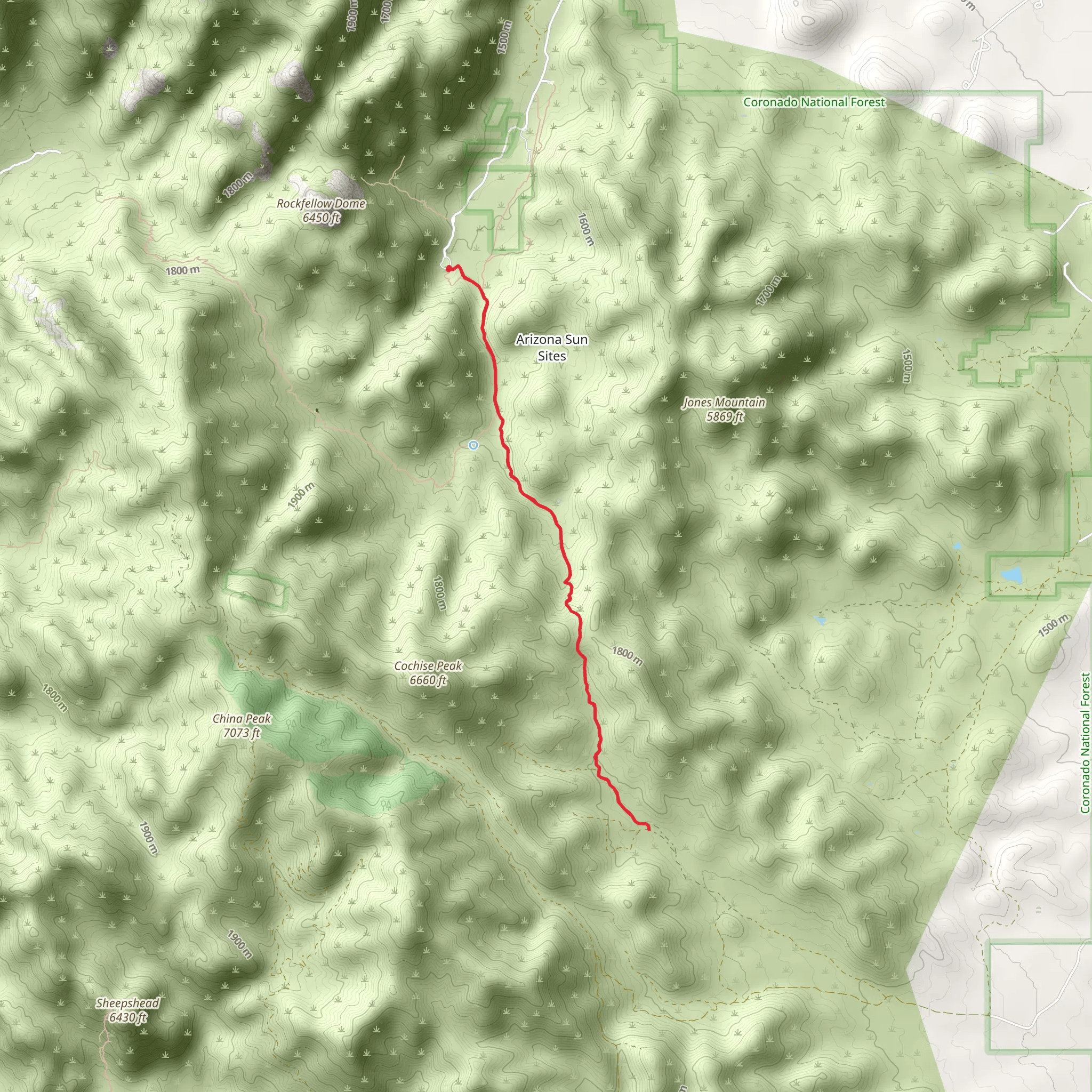
Nestled in the Dragoon Mountains within Cochise County, Arizona, the Middlemarch Canyon via Cochise Stronghold Trail offers a unique blend of natural beauty and historical significance. This out-and-back trail spans approximately 21 kilometers (13 miles) with an elevation gain of around 800 meters (2625 feet), providing a moderately challenging hike that is accessible to those with a reasonable level of fitness.
Getting to the Trailhead
The trailhead is located near the small town of Sunsites, Arizona. If you're driving, you can reach the starting point by taking the US-191 to Ironwood Road, which leads directly to the Cochise Stronghold, a well-known landmark in the area. For those relying on public transportation, options are limited, and it's advisable to rent a car from nearby cities such as Tucson or Sierra Vista to reach the trailhead.
Navigating the Trail
As you embark on your hike, it's essential to have a reliable navigation tool. HiiKER is a recommended app for this purpose, providing detailed maps and GPS coordinates to ensure you stay on the correct path.
Trail Experience
The trail begins with a gradual ascent through a landscape dotted with large boulders and towering rock formations, a testament to the area's volcanic origins. The path is well-defined, winding through oak woodlands and offering occasional clearings where hikers can enjoy panoramic views of the surrounding mountains.
As you progress, the flora transitions to a higher elevation mix of juniper, pine, and manzanita. Wildlife is abundant, with the possibility of spotting mule deer, javelina, and a variety of bird species, including the acorn woodpecker and Mexican jay.
Historical Significance
The Cochise Stronghold holds a deep historical significance as it was once the refuge of the Chiricahua Apache leader Cochise and his people during the Apache Wars in the mid-19th century. The natural fortress provided a strategic advantage with its rugged terrain and limited access points, making it a symbol of resistance and survival.
Landmarks and Points of Interest
Approximately halfway through the hike, you'll reach the Middlemarch Pass, sitting at an elevation of about 5,500 feet (1676 meters). This is an excellent spot to rest and take in the views before continuing on the trail or turning back.
Further along, the trail descends into Middlemarch Canyon itself, where the environment becomes more arid, and the vegetation sparser. The canyon's walls rise steeply on either side, creating a dramatic backdrop for the final stretch of the hike.
Preparation and Safety
Due to the trail's length and elevation gain, it's important to come prepared with plenty of water, especially in the hotter months, as well as snacks and a first aid kit. The weather can change rapidly in the mountains, so layered clothing is recommended. Additionally, be sure to check for any trail closures or restrictions before your visit.
Conclusion
The Middlemarch Canyon via Cochise Stronghold Trail is a rewarding experience for those interested in the natural beauty and historical depth of the American Southwest. With its moderate difficulty, it offers an engaging hike for enthusiasts looking to explore the rugged landscapes and delve into the rich past of Cochise County.
Comments and Reviews
User comments, reviews and discussions about the Middlemarch Canyon via Cochise Stronghold Trail, Arizona.
4.5
average rating out of 5
2 rating(s)

