Download
Preview
Add to list
More
8.7 km
~1 hrs 57 min
124 m
Out and Back
“Explore a moderate 5.6-mile trail near Willcox, AZ, rich in history, wildlife, and panoramic desert views.”
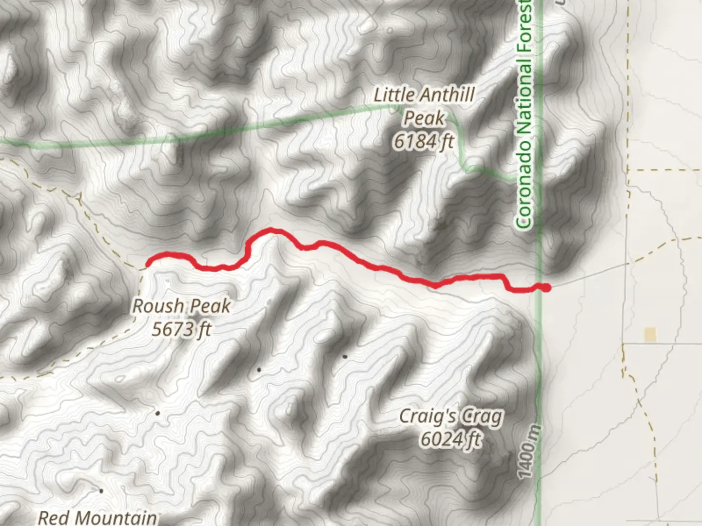
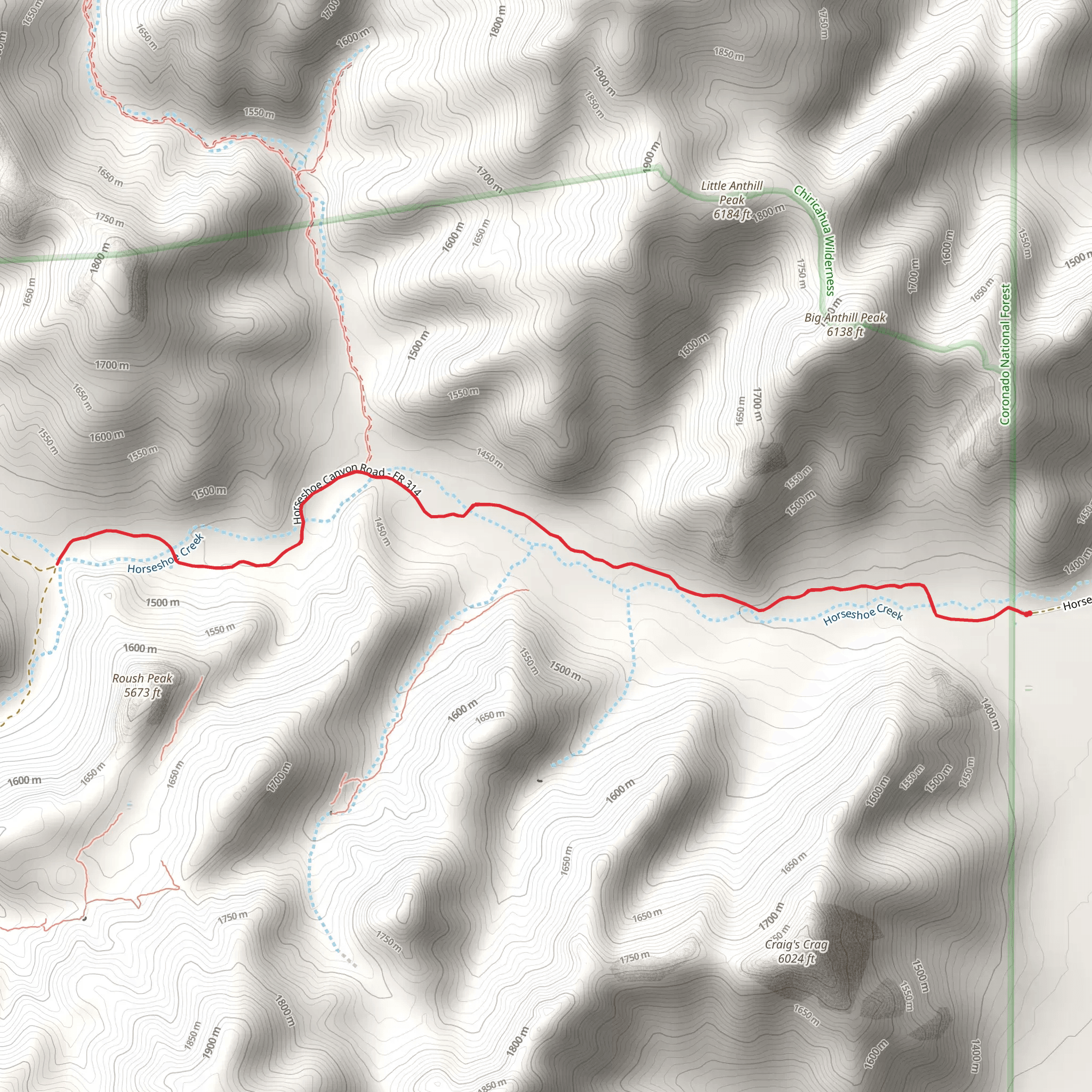
Starting near Cochise County, Arizona, this 9 km (approximately 5.6 miles) out-and-back trail offers a moderate hiking experience with an elevation gain of around 100 meters (328 feet). The trailhead is accessible by car, and the nearest significant landmark is the town of Willcox, Arizona. From Willcox, head southeast on AZ-186 for about 30 miles until you reach the trailhead.### Getting There For those relying on public transport, the closest major city is Tucson, Arizona. From Tucson, you can take a Greyhound bus to Willcox. From Willcox, you may need to arrange a taxi or rideshare service to reach the trailhead, as public transport options are limited in this rural area.### Trail Overview The trail begins with a gentle ascent, making it accessible for hikers of varying skill levels. The initial section is relatively flat, allowing you to warm up before the more challenging parts of the hike. As you progress, you'll encounter a series of switchbacks that gradually increase in elevation.### Landmarks and Points of Interest Around the 2 km (1.2 miles) mark, you'll come across a small, seasonal creek. Depending on the time of year, this creek may be dry, but during wetter months, it adds a refreshing element to the hike. Keep an eye out for local wildlife such as javelinas, coyotes, and a variety of bird species, including the striking red-tailed hawk.### Historical Significance The region around Horseshoe Canyon Road is steeped in history. Cochise County is named after the famous Apache leader Cochise, who played a significant role in the Apache Wars during the mid-19th century. As you hike, imagine the rugged terrain that both Native Americans and early settlers navigated.### Flora and Fauna The trail is lined with a variety of desert flora, including saguaro cacti, mesquite trees, and ocotillo. During the spring, you might be lucky enough to see wildflowers in bloom, adding a splash of color to the arid landscape. The area is also home to reptiles like the Gila monster and various species of lizards.### Navigation and Safety Given the remote nature of the trail, it's advisable to download the trail map from HiiKER before you set out. Cell service can be spotty, so having an offline map is crucial. Make sure to bring plenty of water, especially during the hotter months, as the desert environment can be unforgiving.### Final Stretch As you approach the 4.5 km (2.8 miles) mark, the trail culminates in a scenic overlook that offers panoramic views of the surrounding desert and distant mountain ranges. This is a great spot to take a break, have a snack, and soak in the natural beauty before retracing your steps back to the trailhead.### Practical Tips - Wear sturdy hiking boots to navigate the rocky terrain. - Bring sun protection, including a hat and sunscreen, as shade is minimal. - Check the weather forecast before you go; summer temperatures can be extreme. - Be mindful of local wildlife and maintain a safe distance.This trail offers a blend of natural beauty, historical context, and moderate physical challenge, making it a rewarding experience for those who venture out to explore it.
Activity types
Comments and Reviews
User comments, reviews and discussions about the Horseshoe Canyon Road, Arizona.
4.83
average rating out of 5
6 rating(s)
