Download
Preview
Add to list
More
17.5 km
~4 hrs 49 min
800 m
Out and Back
“Embark on a scenic, moderately challenging 17 km hike through Arizona's historic, wildlife-rich Dragoon Mountains.”
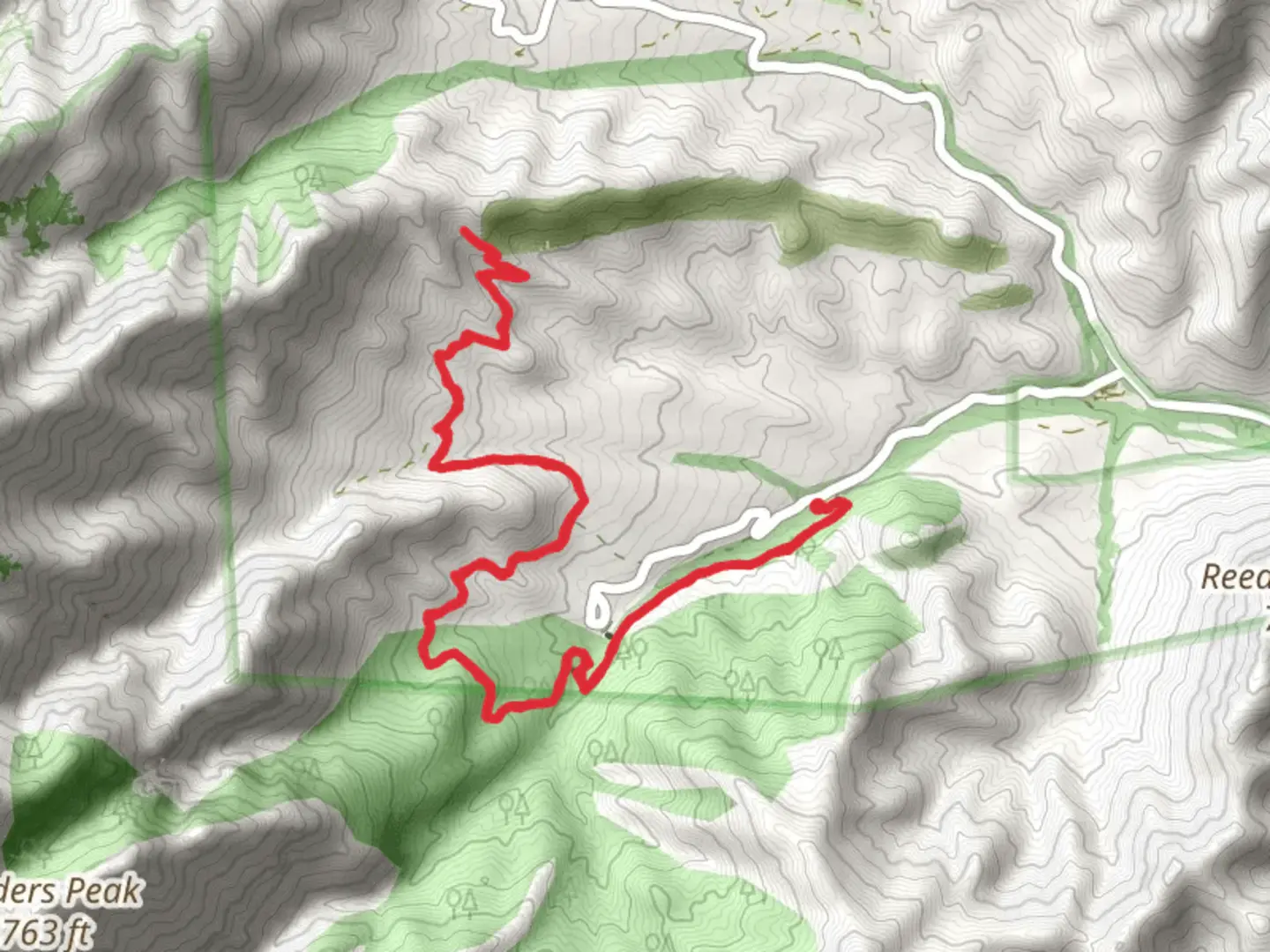
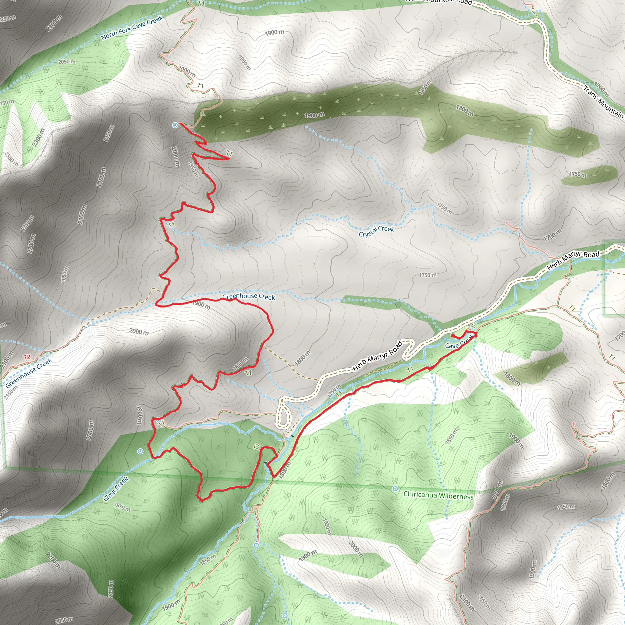
Starting your adventure near Cochise County, Arizona, the Basin and Snowshed Basin Trail offers a captivating journey through diverse landscapes. This out-and-back trail spans approximately 17 km (10.5 miles) with an elevation gain of around 800 meters (2,625 feet), making it a moderately challenging hike suitable for those with a decent level of fitness.
Getting There To reach the trailhead, you can drive or use public transportation. If driving, head towards Cochise County and look for signs directing you to the trailhead near the Dragoon Mountains. For those using public transport, the nearest significant landmark is the town of Willcox, Arizona. From Willcox, you can take a local taxi or rideshare service to the trailhead.
Trail Overview The trail begins with a gentle ascent, allowing you to ease into the hike. As you progress, the terrain becomes more rugged, with rocky paths and occasional steep sections. The first 3 km (1.9 miles) offer a gradual climb, gaining about 200 meters (656 feet) in elevation. This section is relatively easy and provides a good warm-up for the more challenging parts ahead.
Key Landmarks and Nature Around the 5 km (3.1 miles) mark, you'll encounter the first significant landmark: a stunning rock formation known as "The Sentinel." This towering structure offers a great spot for a short break and some photo opportunities. Continuing on, the trail winds through a dense forested area, home to a variety of wildlife including deer, javelinas, and numerous bird species. Keep your eyes peeled for the vibrant plumage of the local hummingbirds.
Historical Significance The region is steeped in history, particularly related to the Apache Wars. The Dragoon Mountains served as a stronghold for the Chiricahua Apache, led by the famous leader Cochise. As you hike, you'll come across several historical markers and plaques that provide insight into the area's rich past. These markers are usually found around the 8 km (5 miles) point, where the trail reaches a small plateau.
The Ascent The next section of the trail is the most challenging, with a steep ascent over the next 4 km (2.5 miles), gaining approximately 400 meters (1,312 feet) in elevation. This part of the hike requires careful footing and a good pace. The effort is well worth it, as you'll be rewarded with panoramic views of the surrounding valleys and peaks.
Snowshed Basin Upon reaching Snowshed Basin, you'll find a serene, open area perfect for a longer rest. This basin is often dotted with wildflowers in the spring and early summer, adding a splash of color to the rugged landscape. The basin is also a great spot for wildlife observation, so bring your binoculars if you're a birdwatching enthusiast.
Return Journey The return journey follows the same path, allowing you to revisit the landmarks and enjoy the views from a different perspective. Make sure to pace yourself on the descent, as the rocky terrain can be tricky.
Navigation and Safety For navigation, it's highly recommended to use the HiiKER app, which provides detailed maps and real-time updates. Ensure you have enough water, as the Arizona climate can be quite harsh, especially in the summer months. Wear sturdy hiking boots and consider using trekking poles for added stability.
This trail offers a blend of natural beauty, historical intrigue, and physical challenge, making it a rewarding experience for any hiker.
What to expect?
Activity types
Comments and Reviews
User comments, reviews and discussions about the Basin and Snowshed Basin Trail, Arizona.
4.56
average rating out of 5
9 rating(s)
